Kyoto, Japan
AmanohashidateAMANOHASHIDATE
A road of pines spanning the sea.
35°34'N 135°12'E
01IntroductionIntroduction
A road of pines spanning the sea.
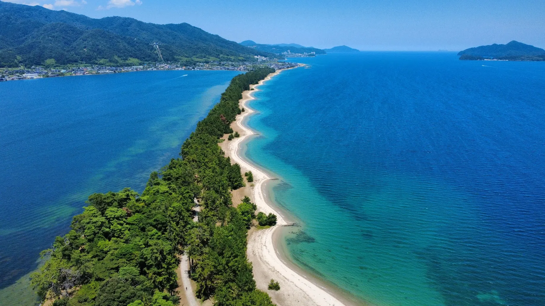
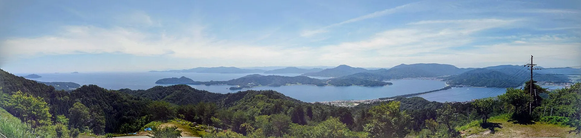
Miyazu City, Kyoto Prefecture. A scenic spot where an avenue of pines runs along a sandbar about 3.6 km long, separating Miyazu Bay from the Aso Sea. One of the Three Views of Japan and a national Special Place of Scenic Beauty.
02Key InformationKey information
Key information about Amanohashidate
Only information confirmed in the sources (listed at the bottom of the page) is shown. Please check the latest official information before your visit.
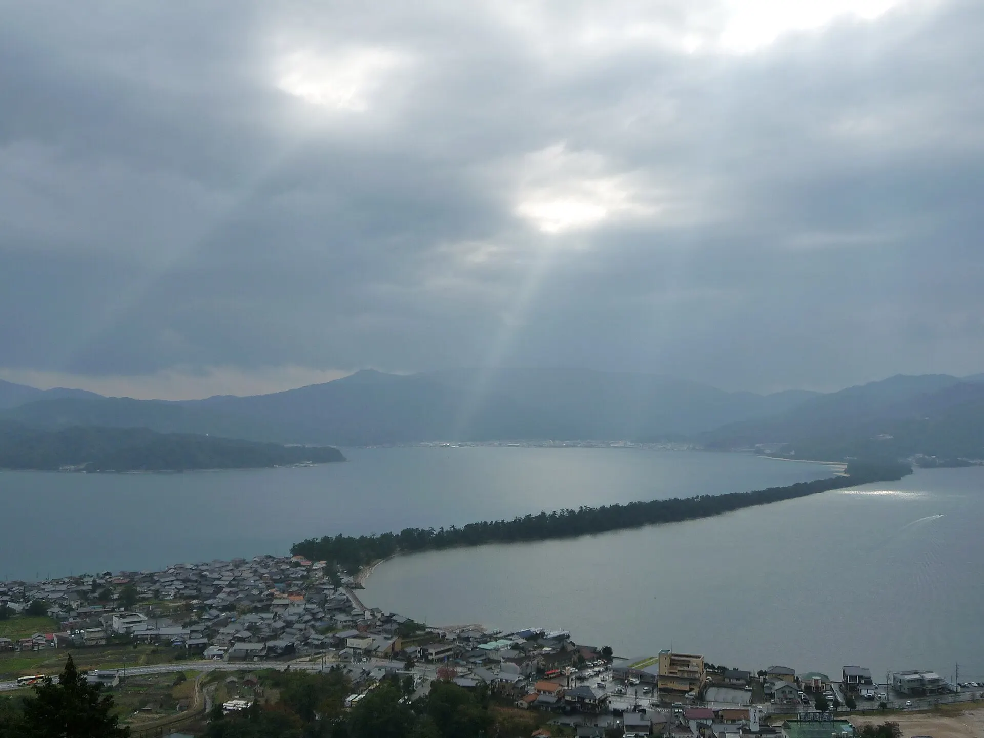
Amanohashidate — Kyoto
Photo: Cyfal / Wikimedia Commons / CC BY-SA 4.0
03StoryStory
The Story of
Amanohashidate
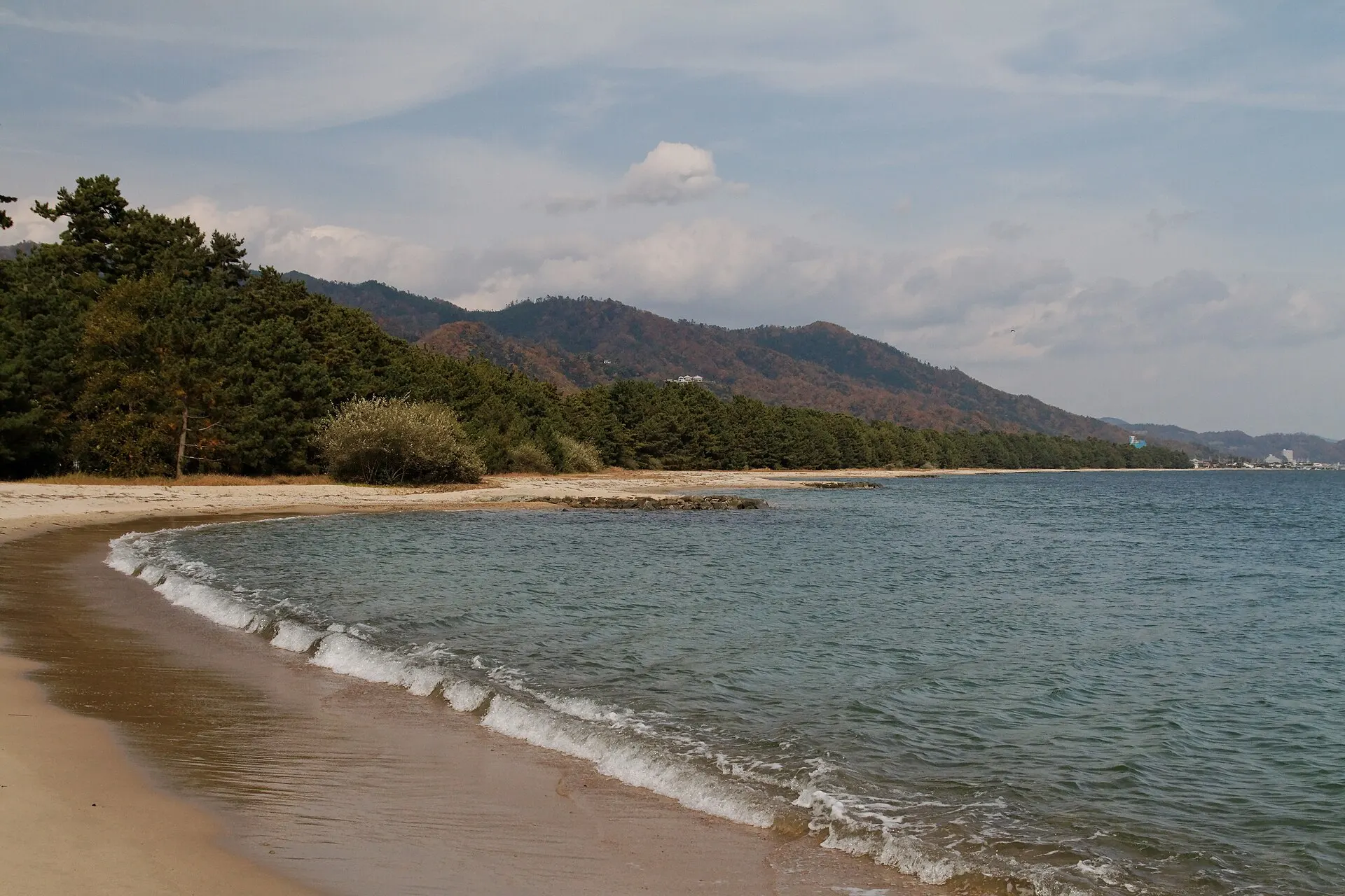
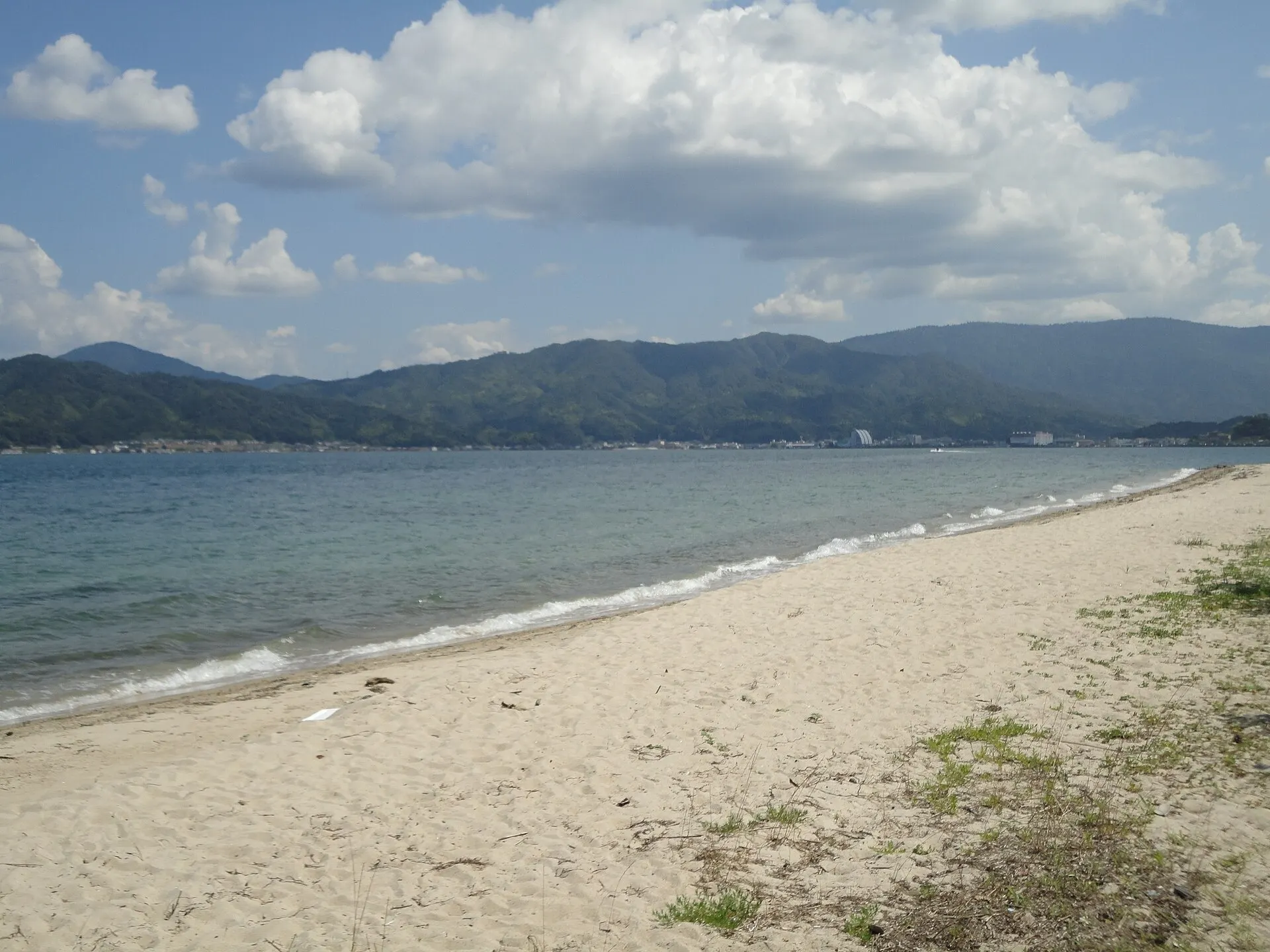
A single green line is drawn across the sea. Amanohashidate is a sandbar formed as sand accumulated over a long time, with an avenue of pines running along it.
Viewed upside down between your legs from high ground, the sandbar looks like a bridge spanning the sky — a way of seeing told as the origin of its name. You can cross the sandbar on foot or by bicycle.
04GalleryGallery
Photographs of Amanohashidate
4 photographs
—FilmTravel through film
Amanohashidate on film
VRで感じる宮津!~天橋立~
Source: 宮津市公式チャンネル / Watch on YouTube ↗
歴史文化映像「天橋立神社」
Source: 宮津市公式チャンネル / Watch on YouTube ↗
The films shown here are published on YouTube by official channels such as the Ministry of the Environment, local governments and tourism associations, and are presented using YouTube's embed feature. Copyright remains with each publisher. No connection is made to YouTube until you press play.
05SeasonsThrough the seasons
The four seasons of Amanohashidate
SpringSpring
View the sandbar through the cherry blossoms around the observation decks.
Recommended
SummerSummer
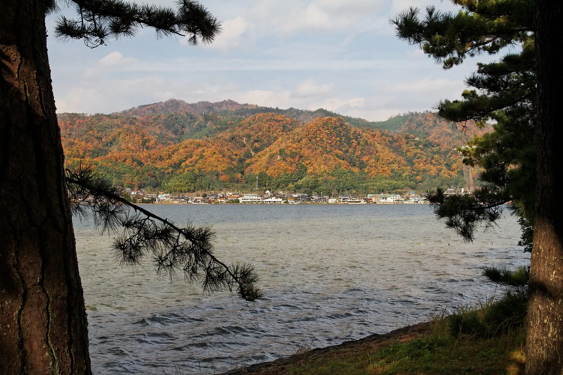
The sea spreading on both sides of the sandbar, and the shade of the pine woods.
Recommended
AutumnAutumn
In the clear air, the line of the sandbar is sharply drawn.
Recommended
WinterWinter
An avenue of pines dusted with snow. A winter scene typical of the Sea of Japan coast.
Recommended
06LocationLocation
35°34'N 135°12'E
Kyoto, Miyazu City (Kansai)
An interactive map is in preparation. For now, the location is shown among all destinations.
07NearbyNearby scenic spots
Another landscape, close by.
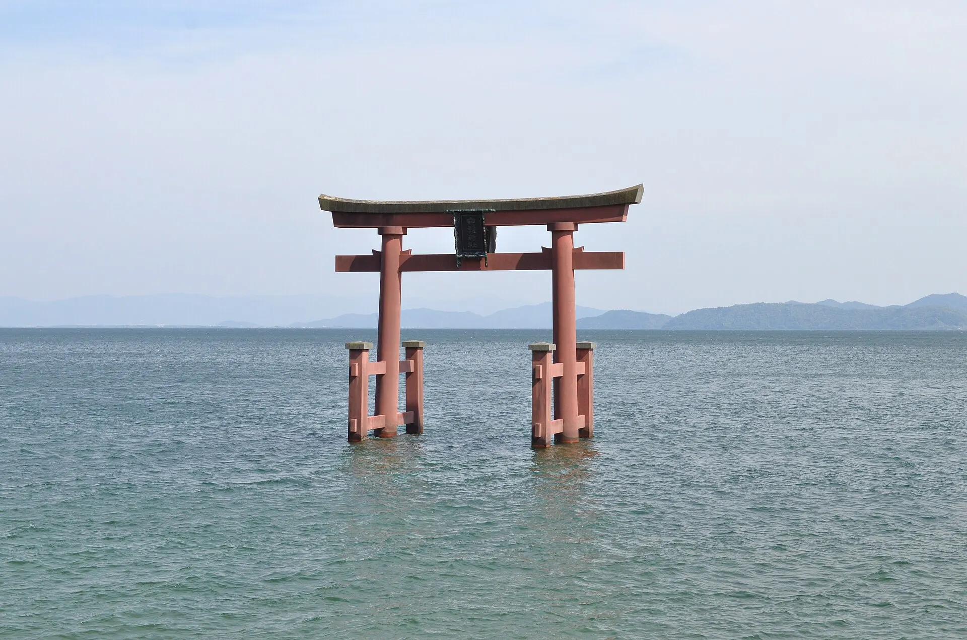
Lake Biwa
BIWA
About 88 km (straight-line distance)
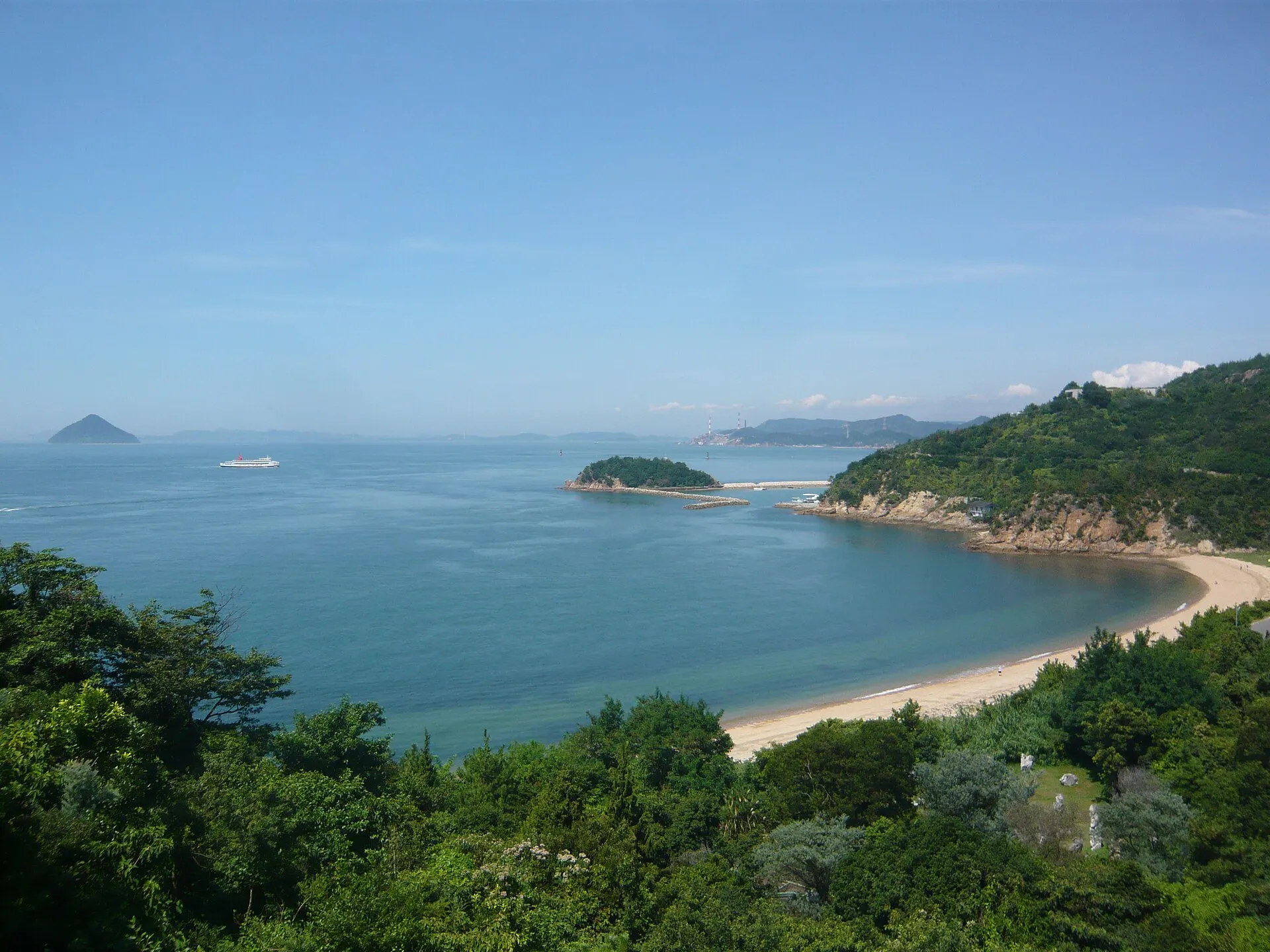
Naoshima
NAOSHIMA
About 165 km (straight-line distance)
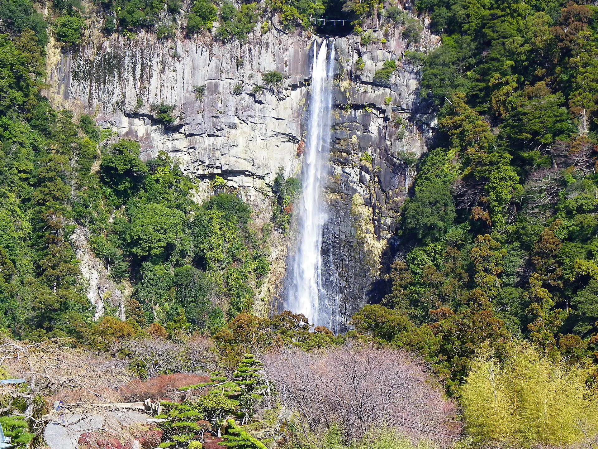
Nachi Falls
NACHI
About 220 km (straight-line distance)
08RelatedSimilar landscapes
If you love this landscape.
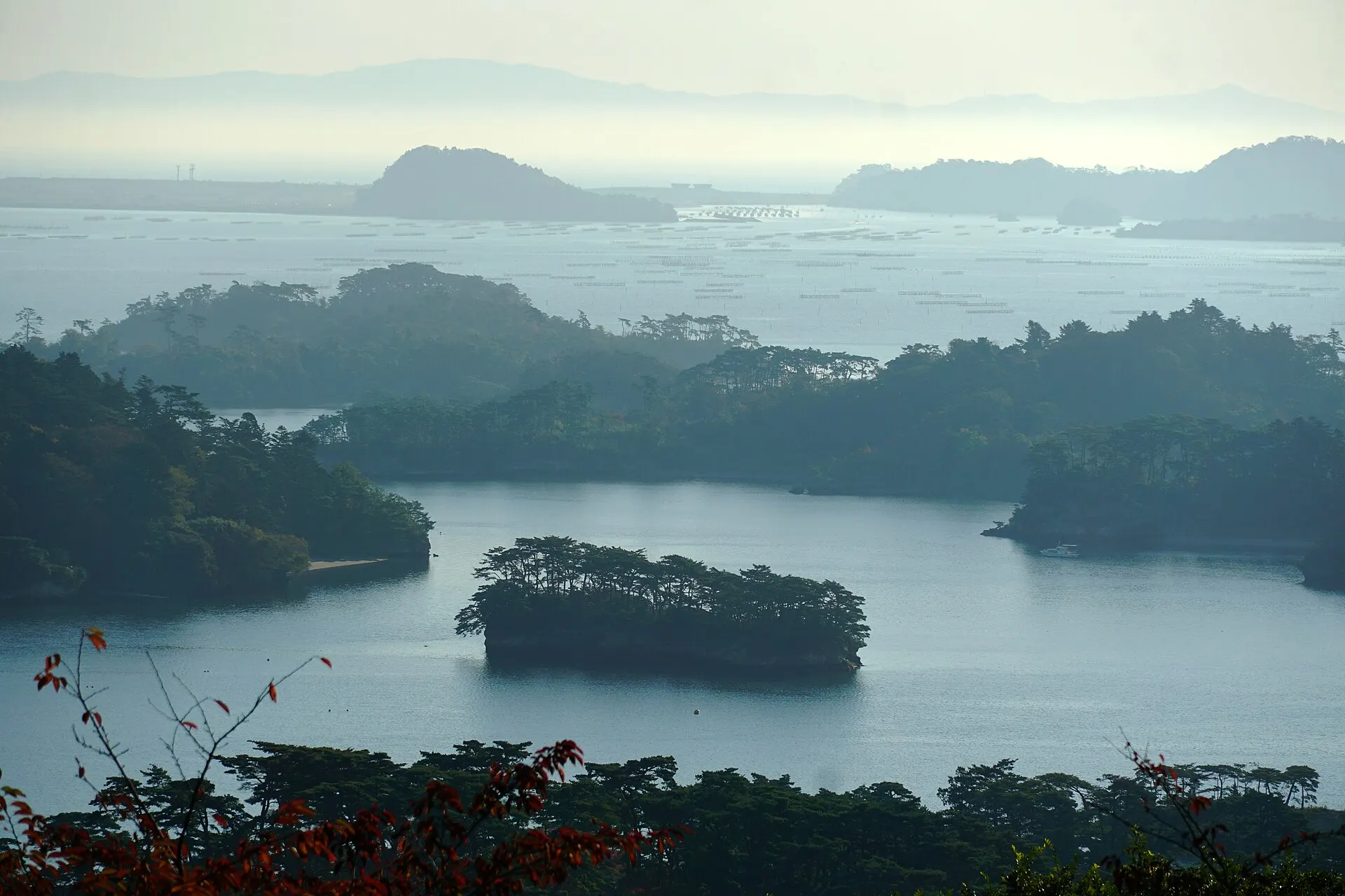
MATSUSHIMA
Matsushima
Miyagi
One of the Three Views of Japan. A bay of pine-crowned islands.
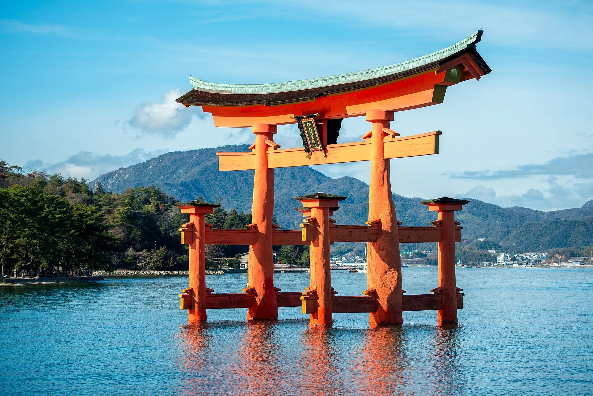
MIYAJIMA
MiyajimaHiroshima · Chugoku
Itsukushima (Miyajima), Hatsukaichi City, Hiroshima Prefecture. The buildings and great torii of Itsukushima Shrine, built over the sea, were inscribed as a World Cultural Heritage site in 1996. One of the Three Views of Japan.
Islands / Seas / World Heritage
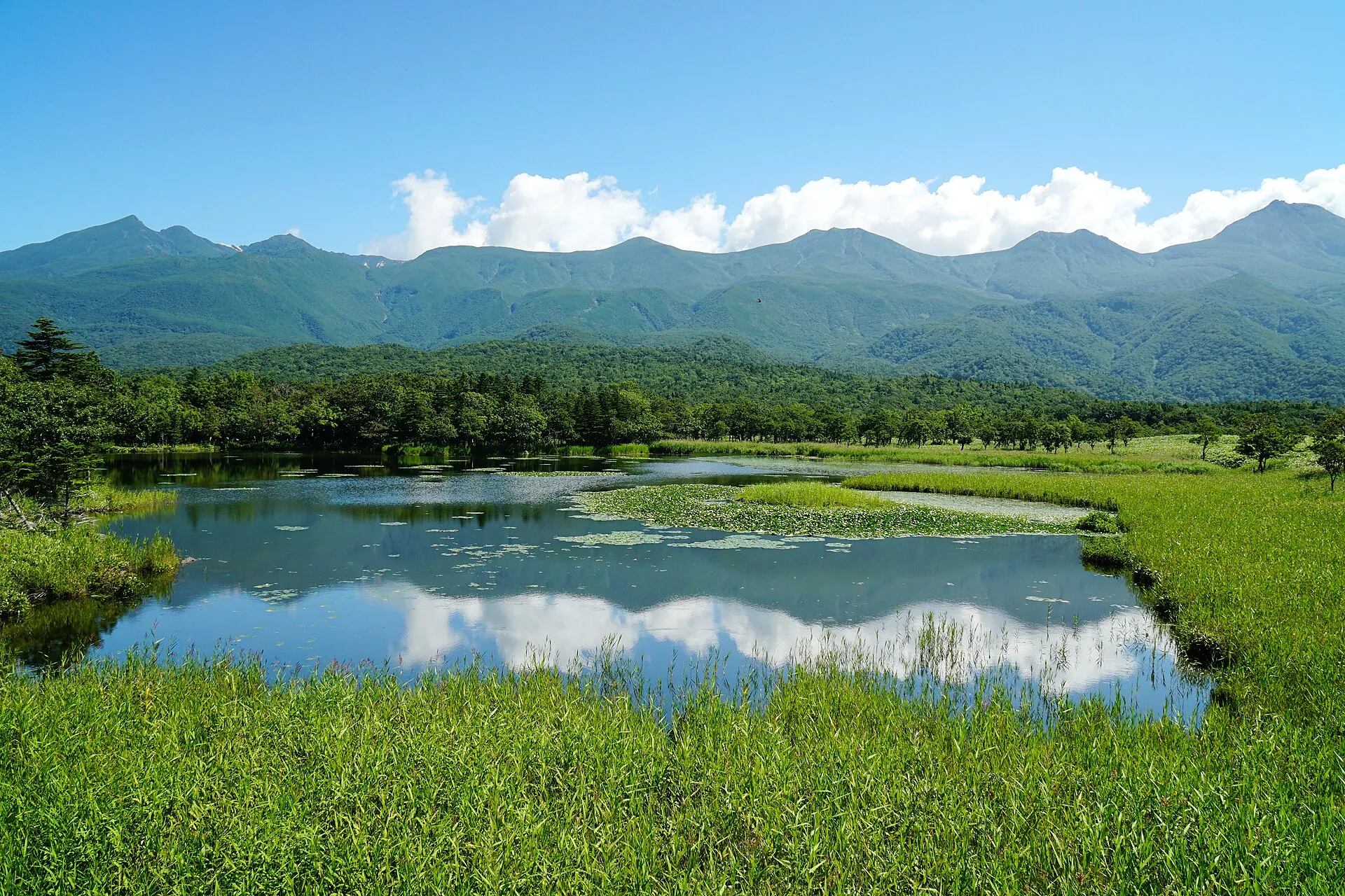
SHIRETOKO
ShiretokoHokkaido · Hokkaido
The Shiretoko Peninsula at the eastern tip of Hokkaido. Recognised for an ecosystem in which nutrients carried by drift ice link the sea to the forests and mountains, it was inscribed as a World Natural Heritage site in 2005. The Shiretoko Five Lakes, sheer coastal cliffs and pristine nature home to brown bears and deer remain.
Seas / Forests / Lakes
10Photo CreditsPhoto credits
| Photo | Title / Photographer | Source | Licence |
|---|---|---|---|
| Amanohashidate-droneSylvestre | Wikimedia Commons ↗ | CC BY 4.0 |
| Amanohashidate, Japan, sun rays and cloudsCyfal | Wikimedia Commons ↗ | CC BY-SA 4.0 |
 | View from the observatory of Nariai-ji Temple in Miyazu, Kyoto 01Naokijp | Wikimedia Commons ↗ | CC BY-SA 4.0 |
 | Amanohashidate (4573537892)KimonBerlin | Wikimedia Commons ↗ | CC BY-SA 2.0 |
 | 天橋立 - panoramio (4)kanesue | Wikimedia Commons ↗ | CC BY 3.0 |
 | Amanohashidate (4573540020)KimonBerlin | Wikimedia Commons ↗ | CC BY-SA 2.0 |