Shiga, Japan
Lake BiwaBIWA
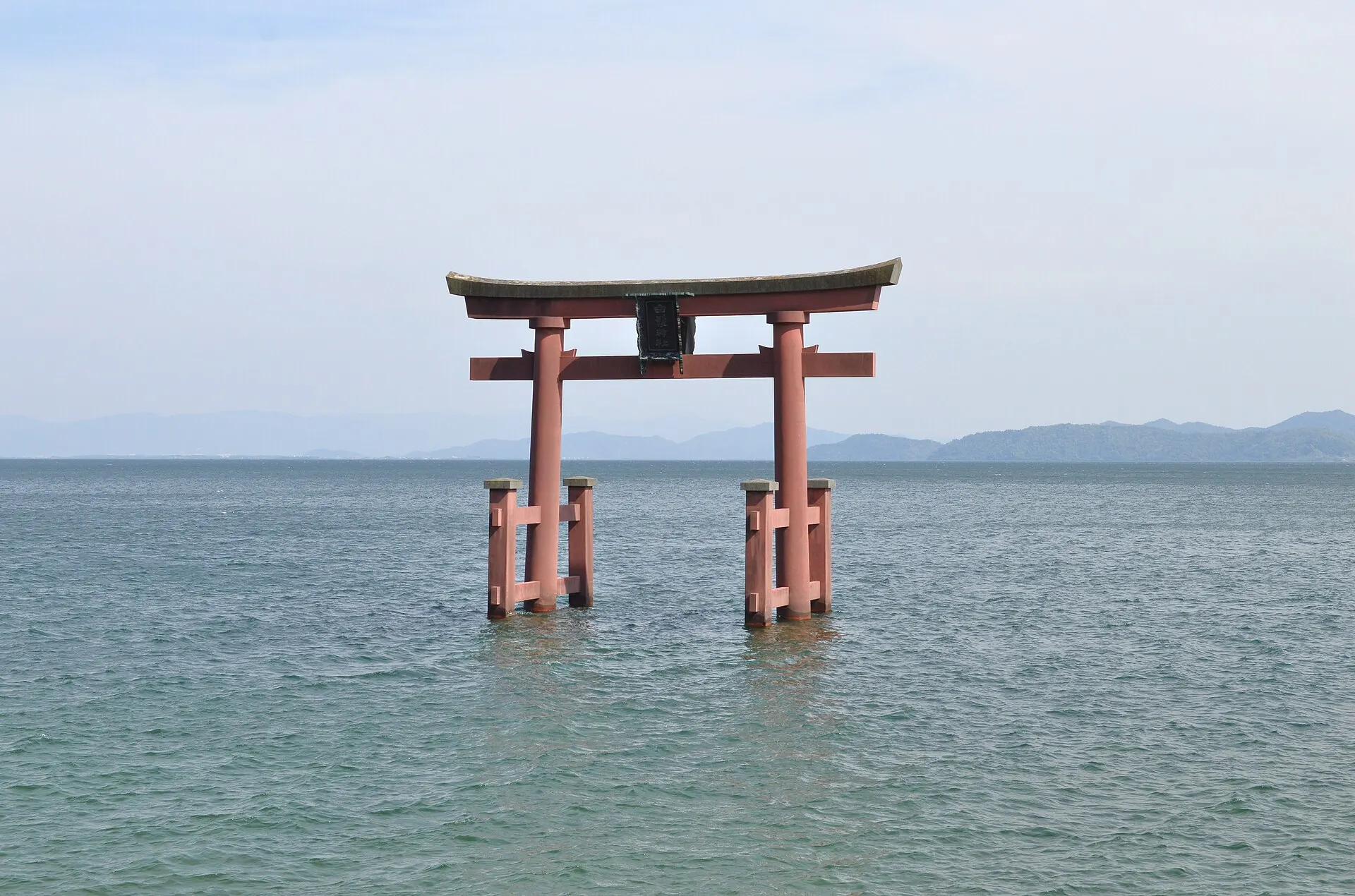
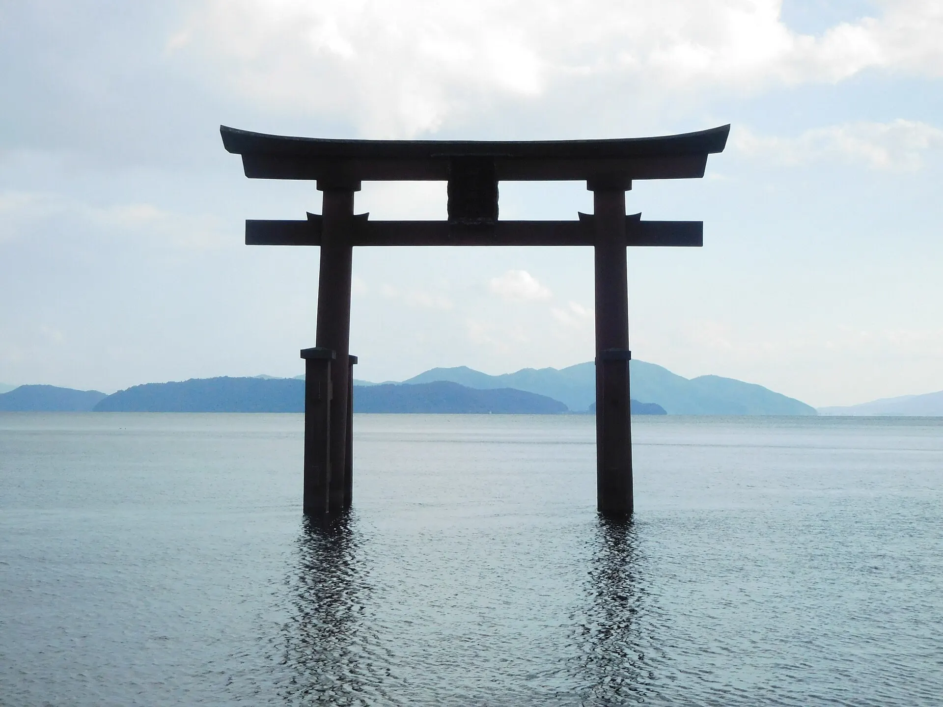
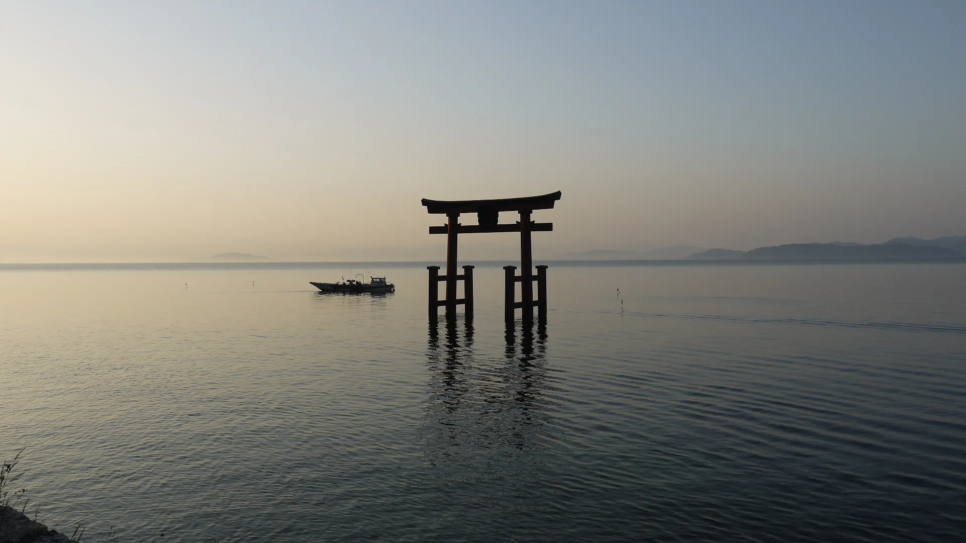
A vermilion torii standing in Japan's largest lake.
35°15'N 136°05'E
01IntroductionIntroduction
A vermilion torii standing in Japan's largest lake.
Japan's largest lake, covering about one-sixth of Shiga Prefecture. At Shirahige Shrine in Takashima, a great vermilion torii gate stands in the lake, creating a striking scene with the water as the morning sun rises.
02Key InformationKey information
Key information about Lake Biwa
Only information confirmed in the sources (listed at the bottom of the page) is shown. Please check the latest official information before your visit.
Lake Biwa — Shiga
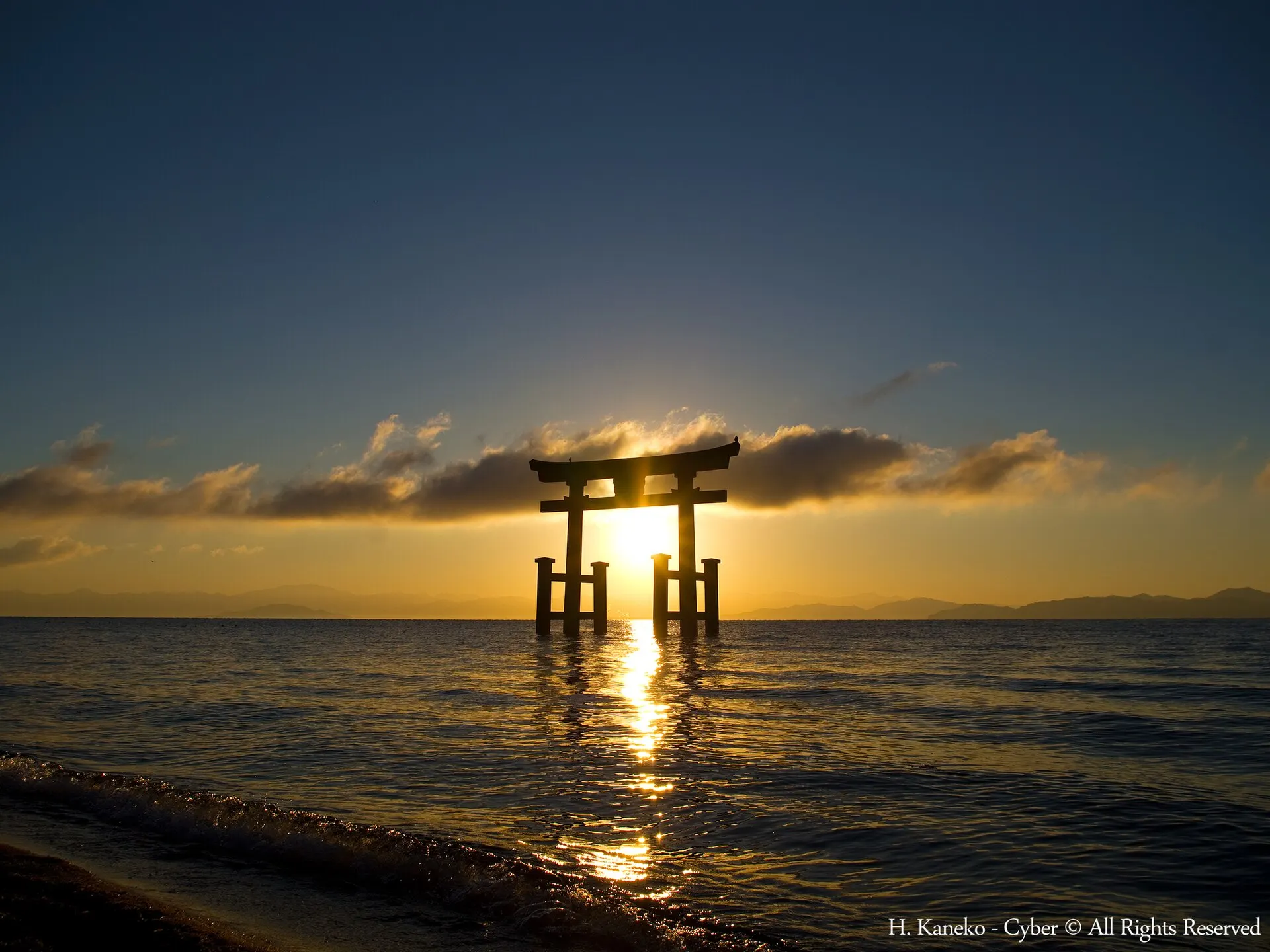
Photo: Hiroaki Kaneko / Wikimedia Commons / CC BY-SA 3.0
03StoryStory
The Story of
Lake Biwa
The water stretches so wide that the far shore fades into haze; at times it could be mistaken for the sea. Lake Biwa, with an area of about 669 km², is Japan's largest lake.
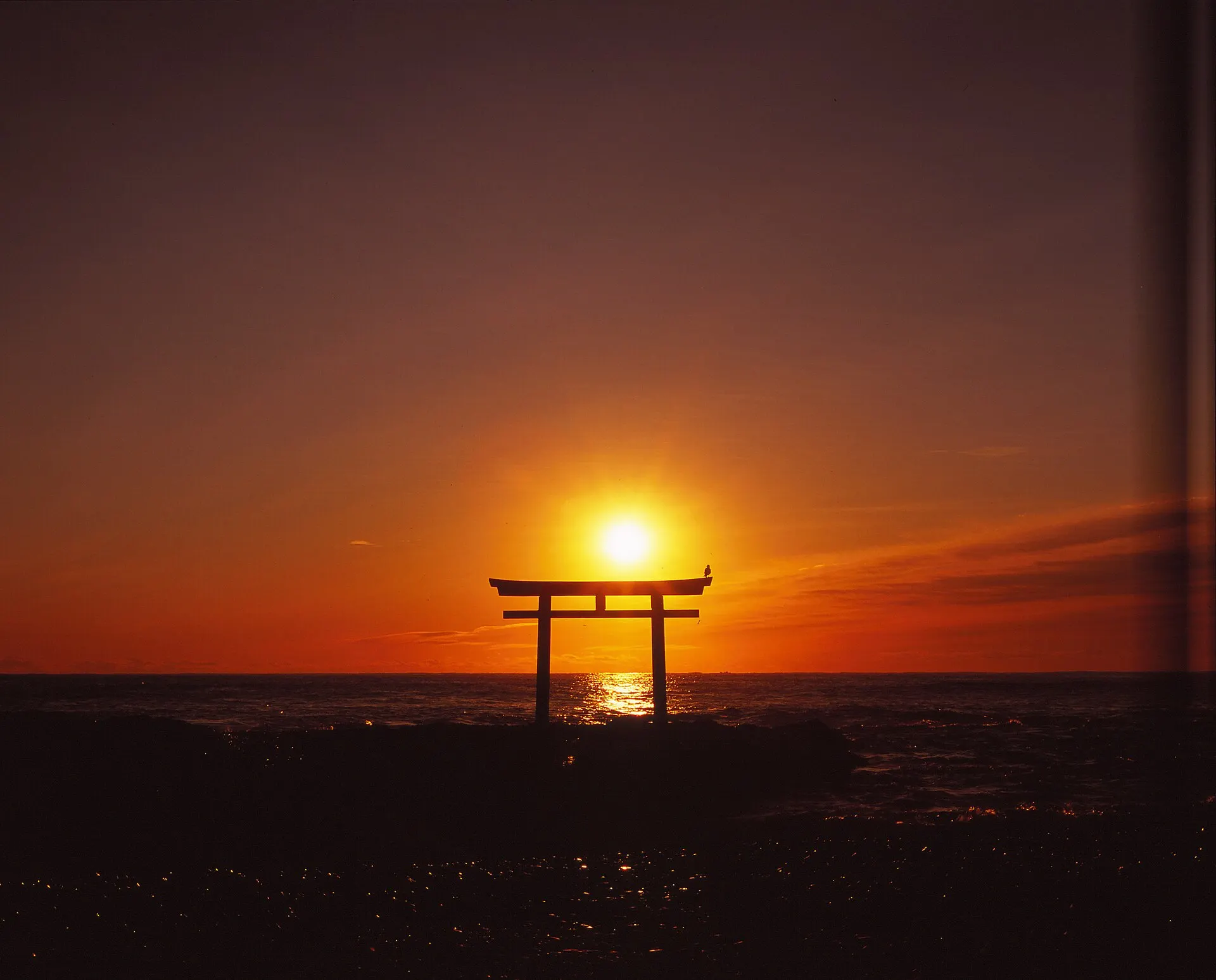
On the western shore, in front of Shirahige Shrine, a great torii stands in the water. At dawn, the sun rising over the eastern shore passes through the gate and lights the surface of the lake.
04GalleryGallery
Photographs of Lake Biwa
3 photographs
—FilmTravel through film
Lake Biwa on film
#びわ湖の日があるからPR動画<本編>
【滋賀県公式観光PR動画】シガリズム 遊び旅篇(2分版)
Source: 滋賀観光・グルメガイド【公式】 / Watch on YouTube ↗
The films shown here are published on YouTube by official channels such as the Ministry of the Environment, local governments and tourism associations, and are presented using YouTube's embed feature. Copyright remains with each publisher. No connection is made to YouTube until you press play.
05SeasonsThrough the seasons
The four seasons of Lake Biwa
SpringSpring
Rows of cherry trees along the shore frame the lake.
Recommended
SummerSummer
The season for spending time by the water, swimming in the lake or canoeing.
Recommended
AutumnAutumn
On clear mornings, the sunrise over the lake is beautiful.
Recommended
WinterWinter
Snow falls in the northern lake area, and waterbirds gather on the lake.
Recommended
06LocationLocation
35°15'N 136°05'E
Shiga, Takashima City (Kansai)
An interactive map is in preparation. For now, the location is shown among all destinations.
07NearbyNearby scenic spots
Another landscape, close by.
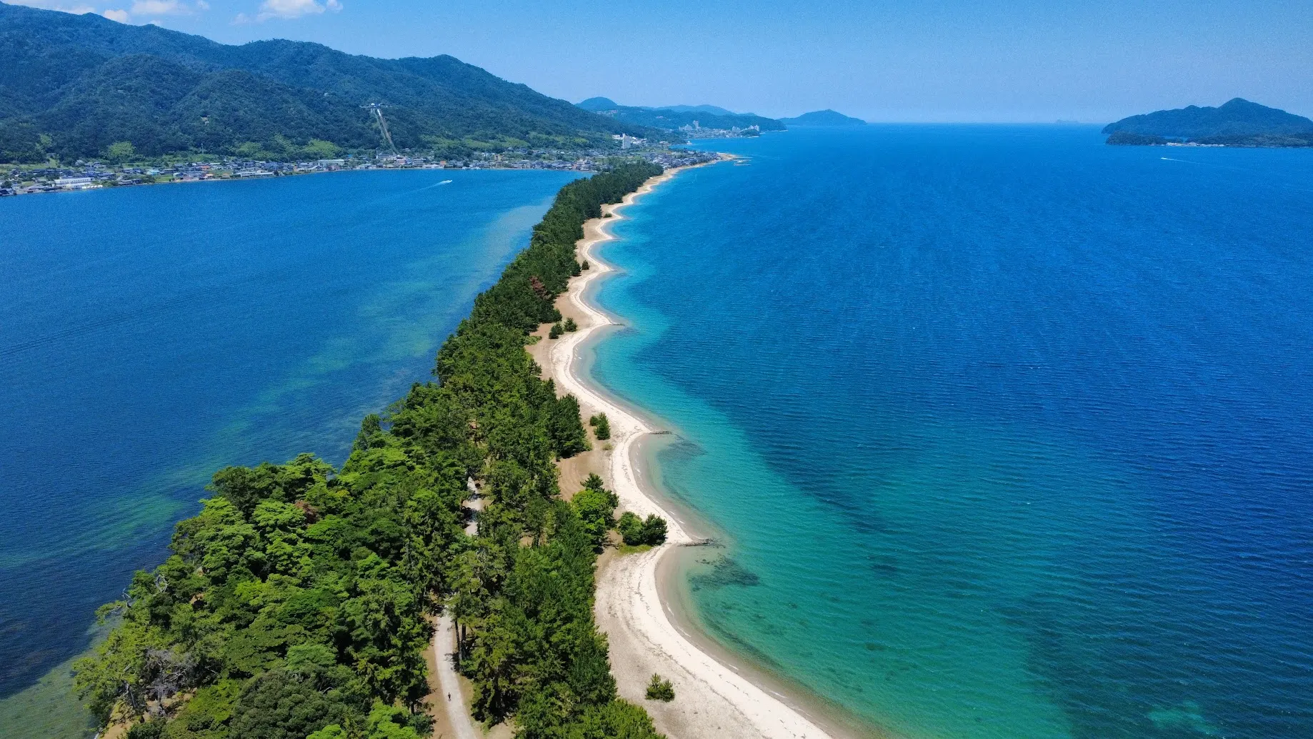
Amanohashidate
AMANOHASHIDATE
About 88 km (straight-line distance)
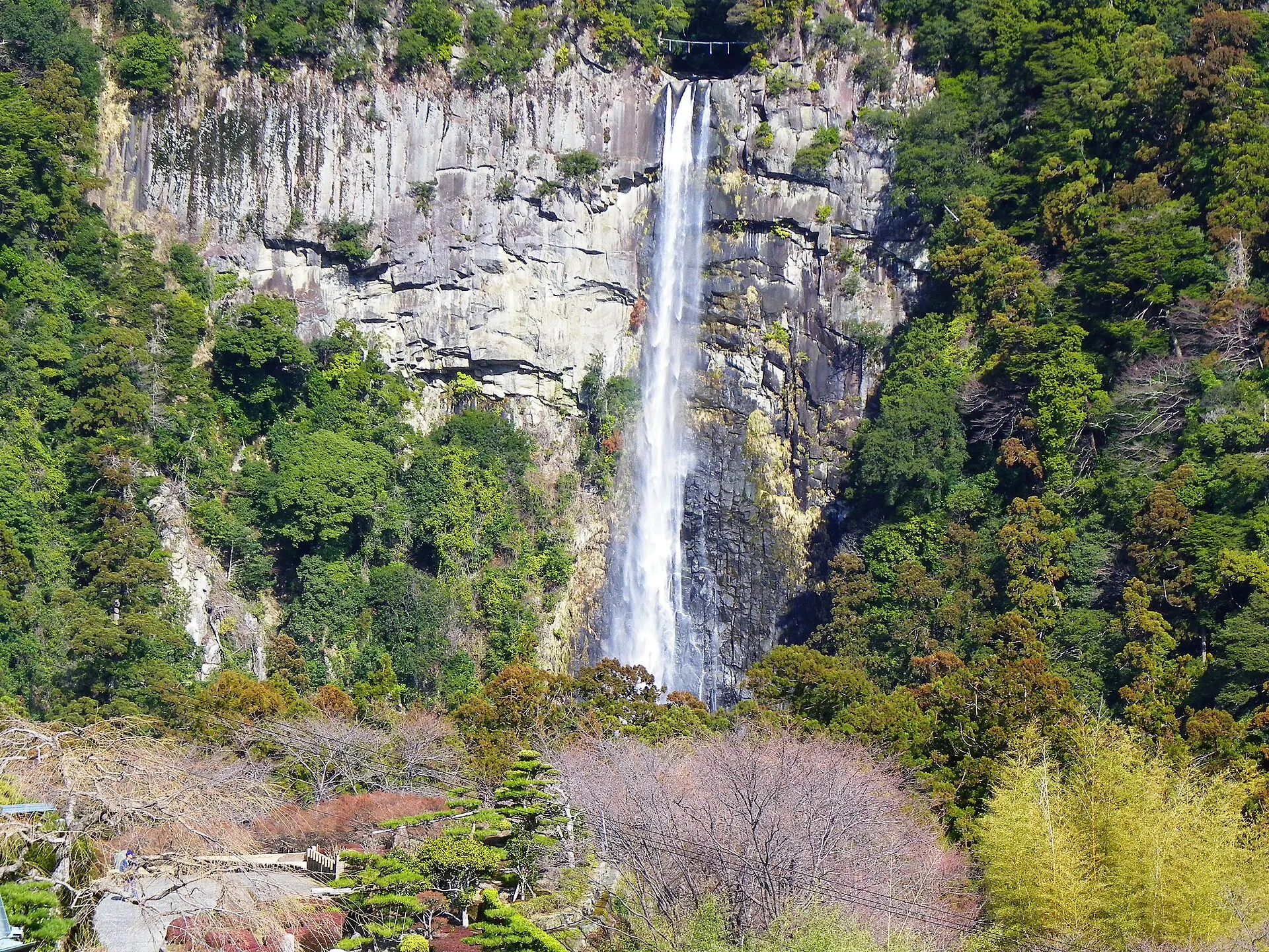
Nachi Falls
NACHI
About 177 km (straight-line distance)
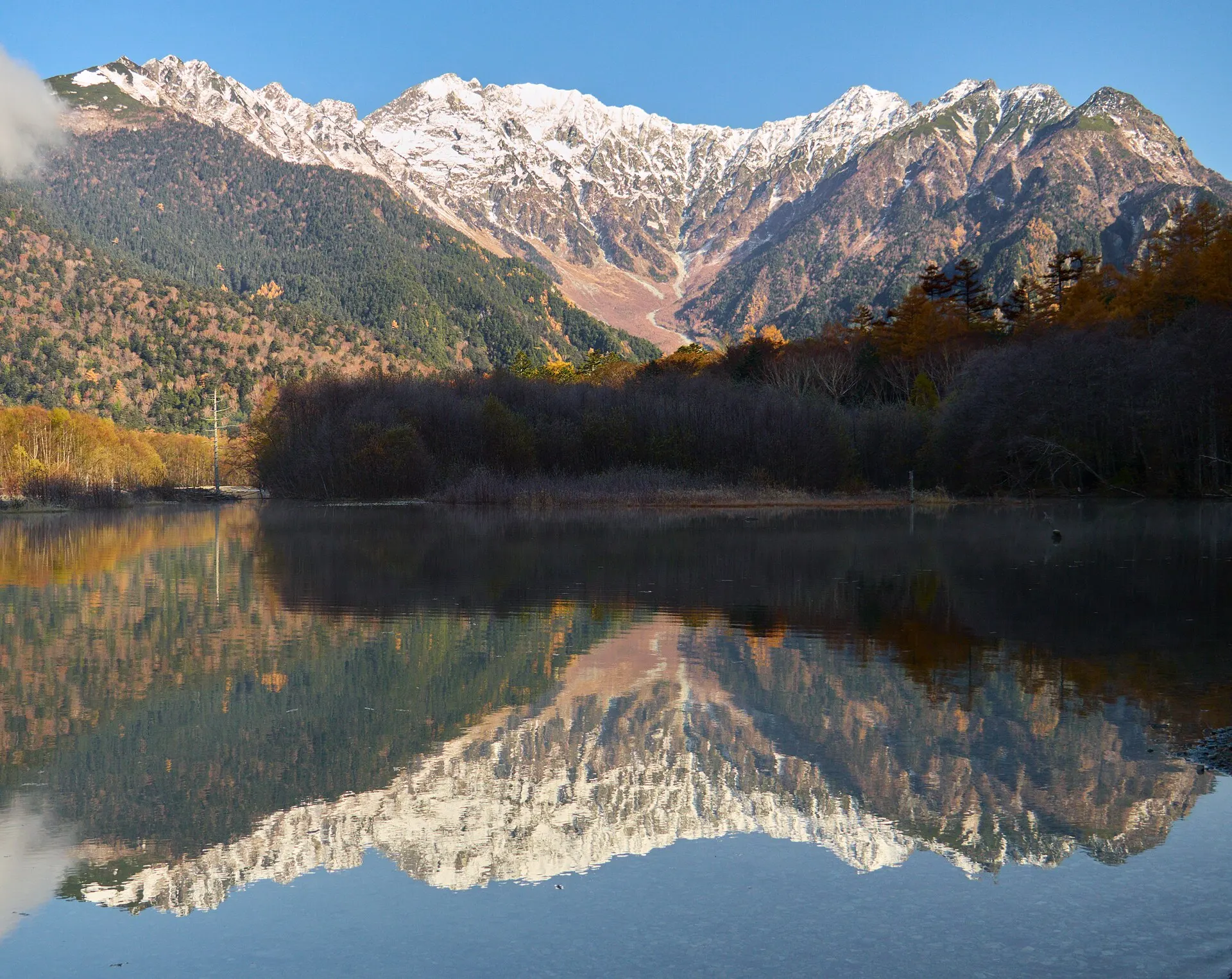
Kamikochi
KAMIKOCHI
About 178 km (straight-line distance)
08RelatedSimilar landscapes
If you love this landscape.
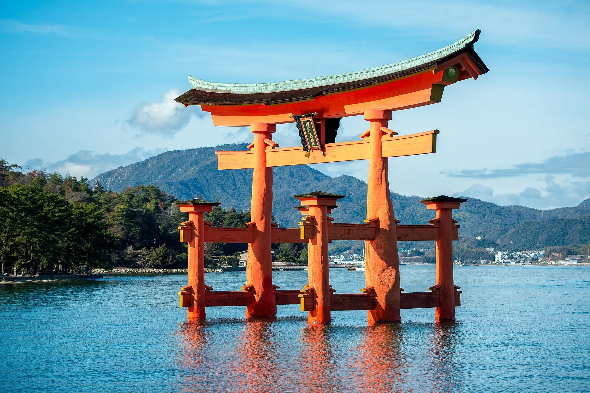
MIYAJIMA
Miyajima
Hiroshima
Shrine buildings that float on the sea with the ebb and flow of the tide.
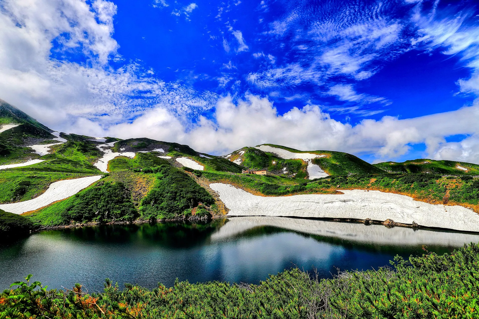
TATEYAMA
Tateyama & MurodoToyama · Hokuriku
Tateyama Town, Toyama Prefecture. At Murodo-daira, the heart of the Tateyama Kurobe Alpine Route at 2,450 m, the crater lake Mikurigaike holds blue water. Snow walls of Yuki-no-Otani in spring, alpine flowers in summer, autumn leaves in autumn.
Mountains / Lakes / Snowscapes
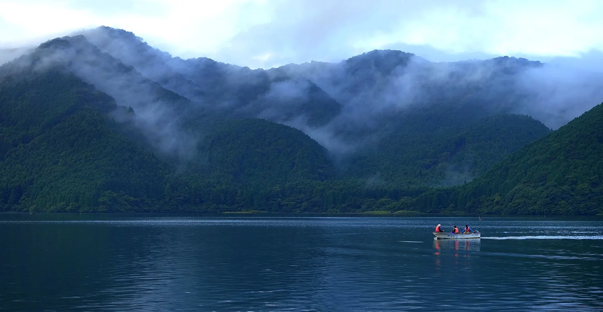
HAKONE
HakoneKanagawa · Kanto
Hakone Town, Kanagawa Prefecture. The closest mountain resort to the Tokyo area, gathering Lake Ashi and Owakudani, both shaped by volcanoes, and numerous hot springs. Part of Fuji-Hakone-Izu National Park.
Lakes / Hot spring towns / Mountains
10Photo CreditsPhoto credits
| Photo | Title / Photographer | Source | Licence |
|---|---|---|---|
| Shirahige-jinja (Takashima) otoriiSaigen Jiro | Wikimedia Commons ↗ | CC0 |
| 湖上の鳥居と暁光(Rising sun with Torii on the lake) 20 Dec, 2015 - panoramioHiroaki Kaneko | Wikimedia Commons ↗ | CC BY-SA 3.0 |
 | Shirahige-Jinja nov2016 04Brakeet | Wikimedia Commons ↗ | CC0 |
 | Shirahige Shrine 白鬚神社6 - panoramiobaggio4ever | Wikimedia Commons ↗ | CC BY 3.0 |
 | Bird in Sunrise (Lake biwa-Japan) - panoramioMasoud Akbari | Wikimedia Commons ↗ | CC BY-SA 3.0 |