Nagano, Japan
KamikochiKAMIKOCHI
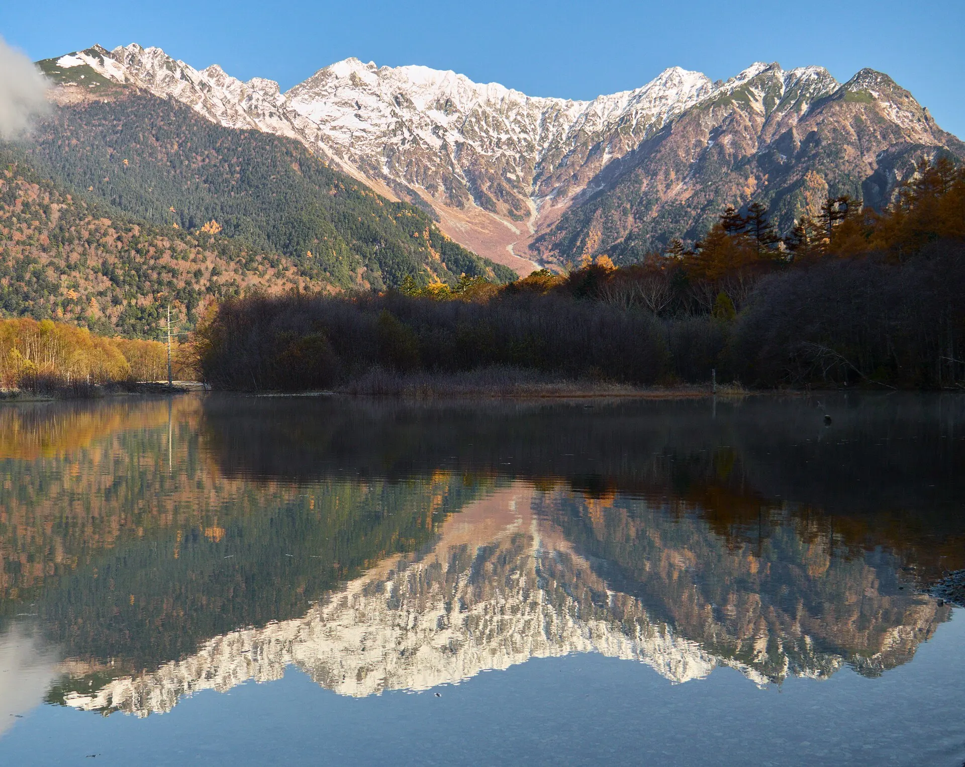
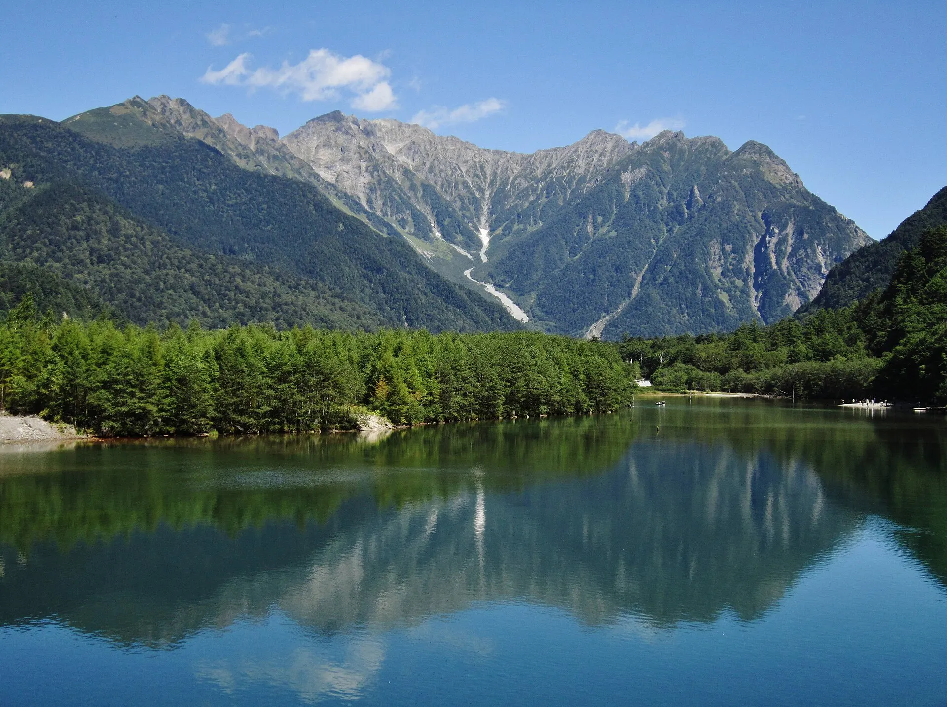
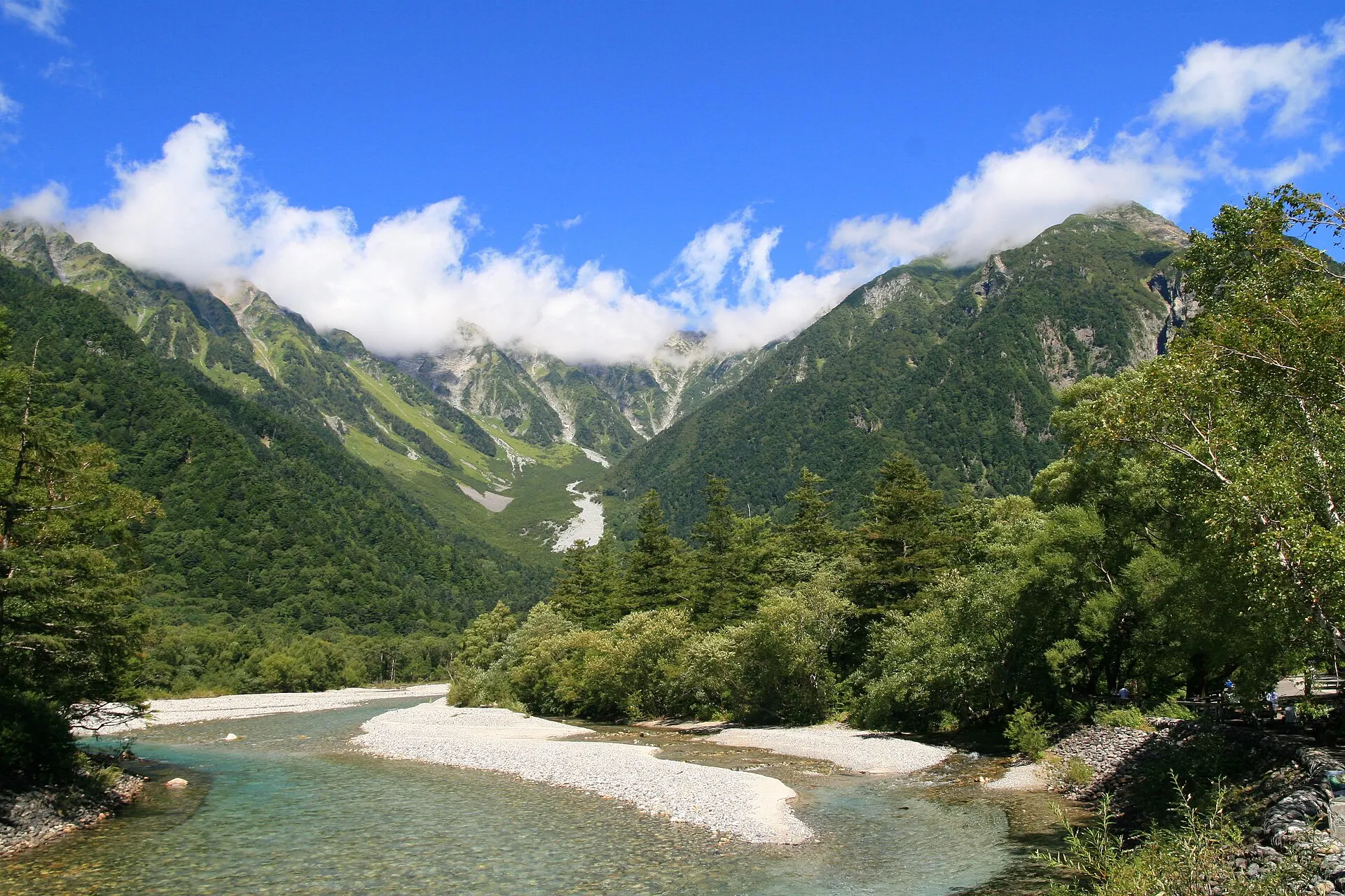
The rock peaks of Hotaka, and the clear waters of the Azusa River.
36°15'N 137°38'E
01IntroductionIntroduction
The rock peaks of Hotaka, and the clear waters of the Azusa River.
A mountain scenic area at an elevation of about 1,500 m, set deep in the Northern Alps in Matsumoto, Nagano Prefecture. Along the Azusa River, beneath the Hotaka mountain range, lie Taisho Pond, Kappa Bridge and Myojin Pond.
02Key InformationKey information
Key information about Kamikochi
Only information confirmed in the sources (listed at the bottom of the page) is shown. Please check the latest official information before your visit.
- PrefecturePrefecture
- Nagano
- RegionRegion
- Koshinetsu
- MunicipalityMunicipality
- Matsumoto City
- CategoryScenery
- MountainsGorgesForestsNational parks
- ElevationElevation
- About 1,500 m (near Kappa Bridge)
- Best seasonBest Season
- June (fresh greenery) / October (autumn leaves)
- Access overviewAccess
- Private cars are restricted. Enter by shuttle bus or taxi from Sawando, Hirayu and other points. Closed in winter (usually mid-November to late April).
- Protected areasProtection
- Chubu-Sangaku National Park
- Special Place of Scenic Beauty and Special Natural Monument "Kamikochi"
- LocationCoordinates
- 36°15'N 137°38'E
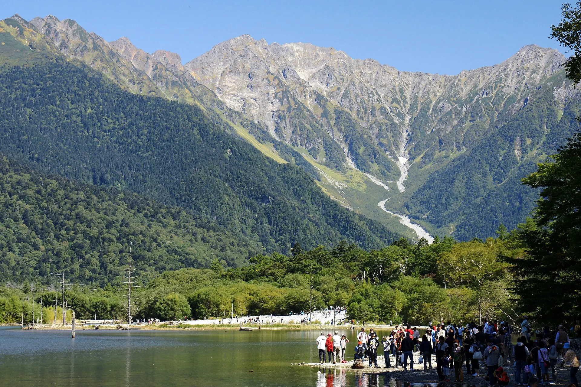
Kamikochi — Nagano
Photo: 663highland / Wikimedia Commons / CC BY 2.5
03StoryStory
The Story of
Kamikochi
The valley runs gently inward along the Azusa River. Above rise the rock walls of the Hotaka range; underfoot flows astonishingly clear water. Kamikochi is one of the most accessible places to walk among the mountain landscapes of the Northern Alps.
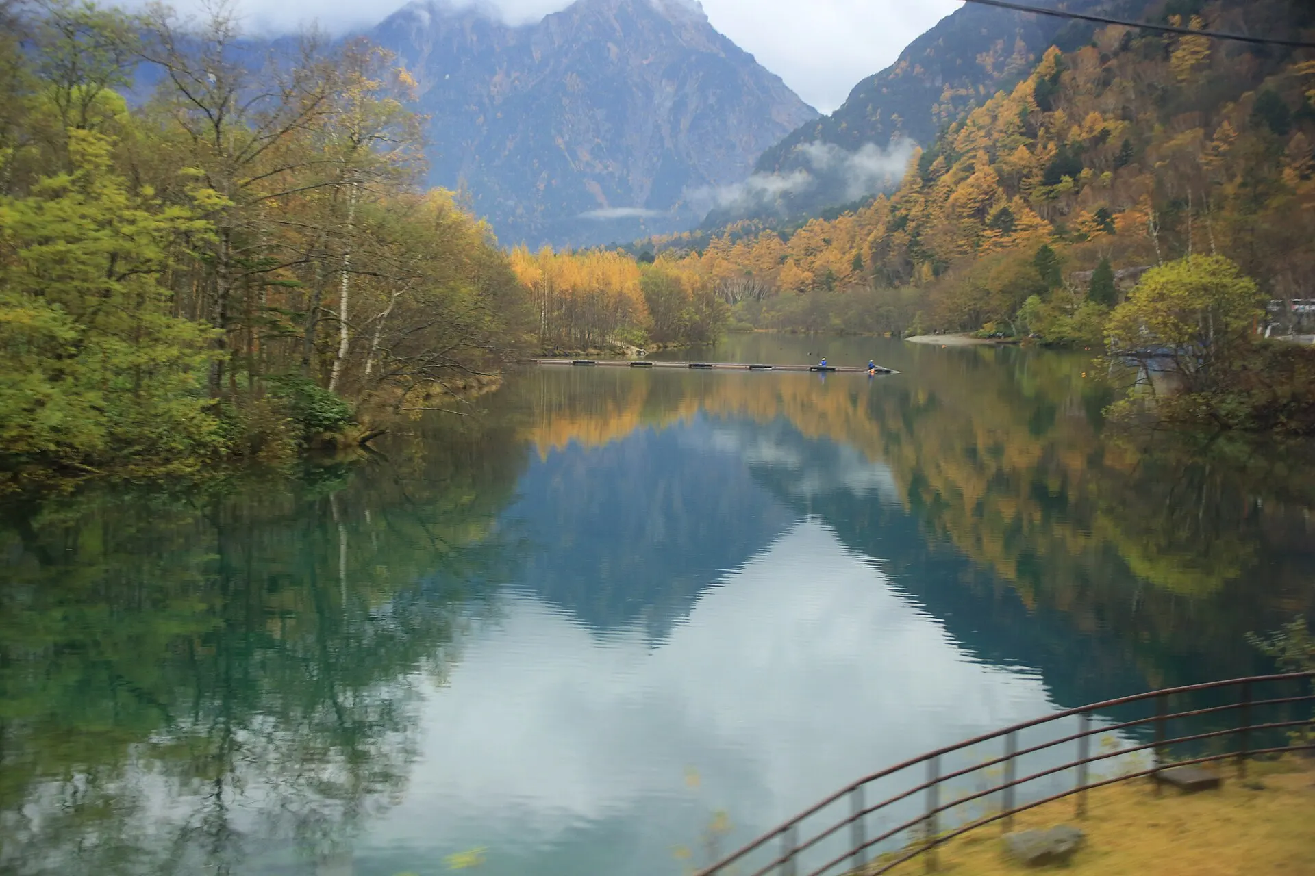
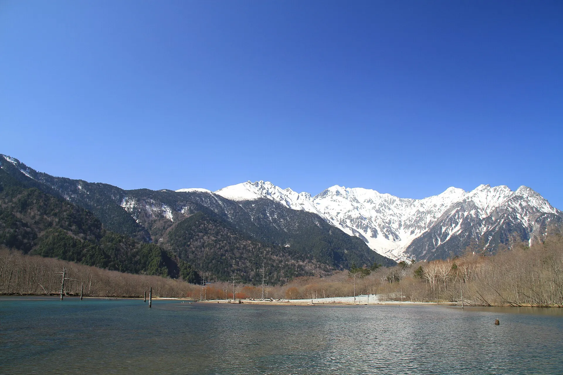
Taisho Pond was formed in 1915 when an eruption of Mount Yake dammed the Azusa River. The scene of standing dead trees casting shadows on the water has been changing little by little over time.
It is a special protection zone of Chubu-Sangaku National Park, and is also designated a national Special Place of Scenic Beauty and Special Natural Monument. Private cars are restricted; visitors arrive by shuttle bus or taxi.
04GalleryGallery
Photographs of Kamikochi
5 photographs
—FilmTravel through film
Kamikochi on film
「Blackmagic Design × 上高地 」12K FULL FRAMEで描く、上高地の息吹【上高地公式チャンネルGREENTRAIL】
Source: KamikochiOfficial【上高地公式】 / Watch on YouTube ↗
The films shown here are published on YouTube by official channels such as the Ministry of the Environment, local governments and tourism associations, and are presented using YouTube's embed feature. Copyright remains with each publisher. No connection is made to YouTube until you press play.
05SeasonsThrough the seasons
The four seasons of Kamikochi
SpringSpring
With the season opening in late April each year, the snow-streaked Hotaka peaks and budding forest welcome visitors.
Recommended
SummerSummer
In the cool of the highlands, the trails along the Azusa River and the base for mountain climbs are lively.
Recommended
AutumnAutumn
Golden larches colour the valley, and the rock peaks and autumn leaves are reflected on Taisho Pond.
Recommended
WinterWinter
Closed in winter; vehicles cannot enter. A season of silence.
06LocationLocation
36°15'N 137°38'E
Nagano, Matsumoto City (Koshinetsu)
An interactive map is in preparation. For now, the location is shown among all destinations.
07NearbyNearby scenic spots
Another landscape, close by.
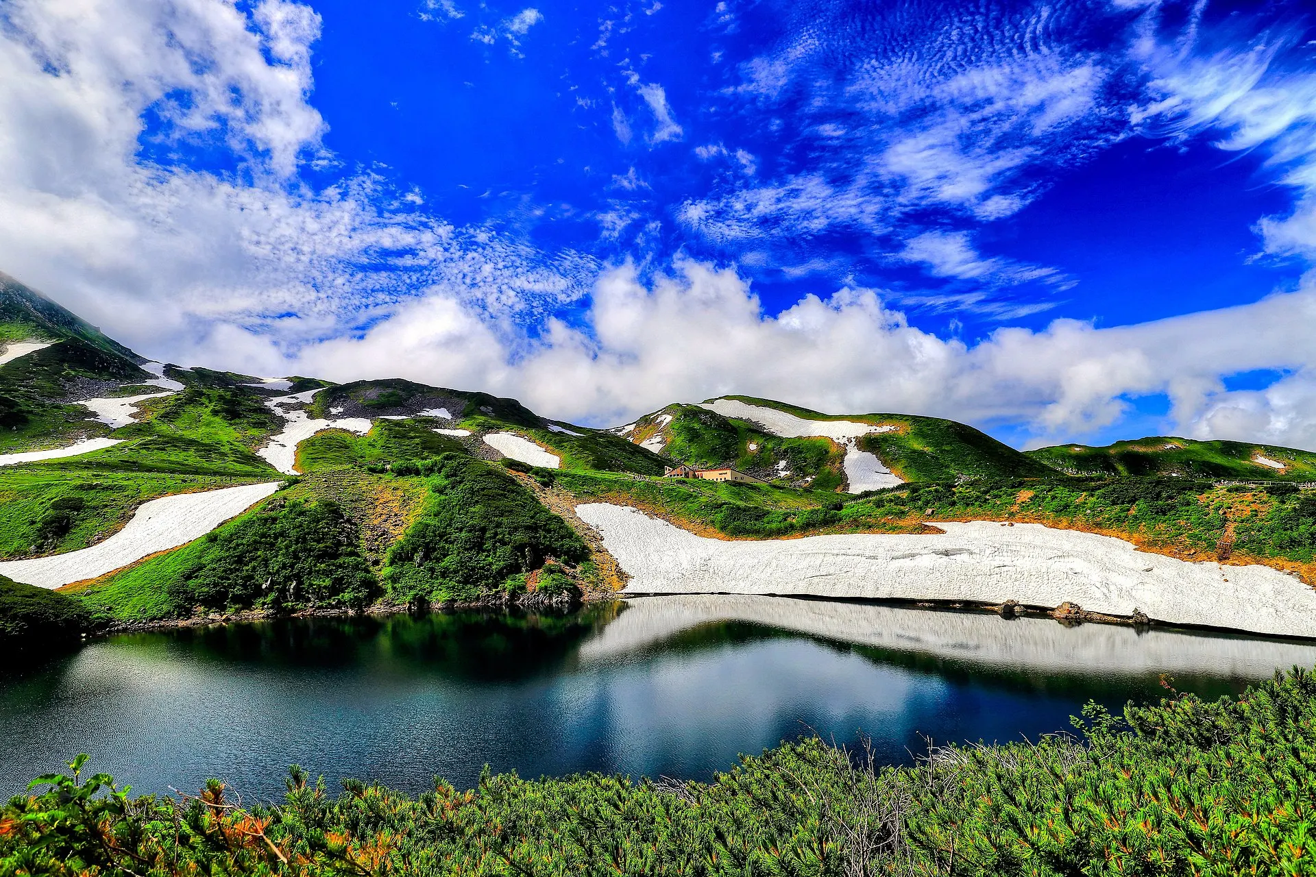
Tateyama & Murodo
TATEYAMA
About 37 km (straight-line distance)
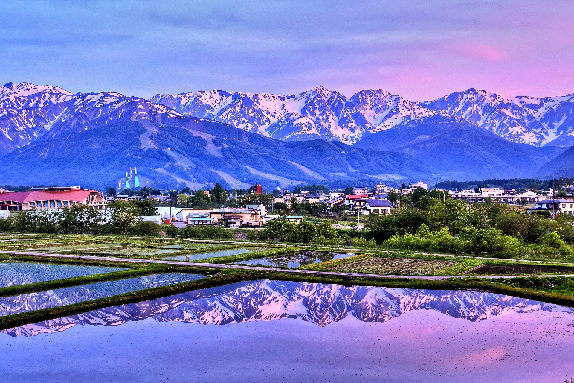
Hakuba
HAKUBA
About 54 km (straight-line distance)
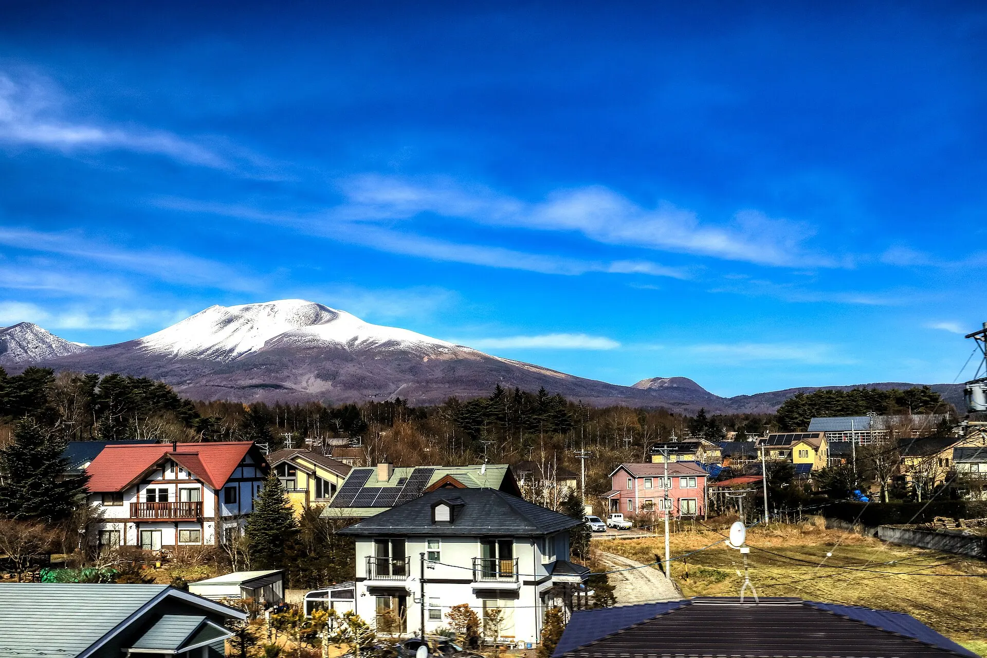
Karuizawa
KARUIZAWA
About 87 km (straight-line distance)
08RelatedSimilar landscapes
If you love this landscape.
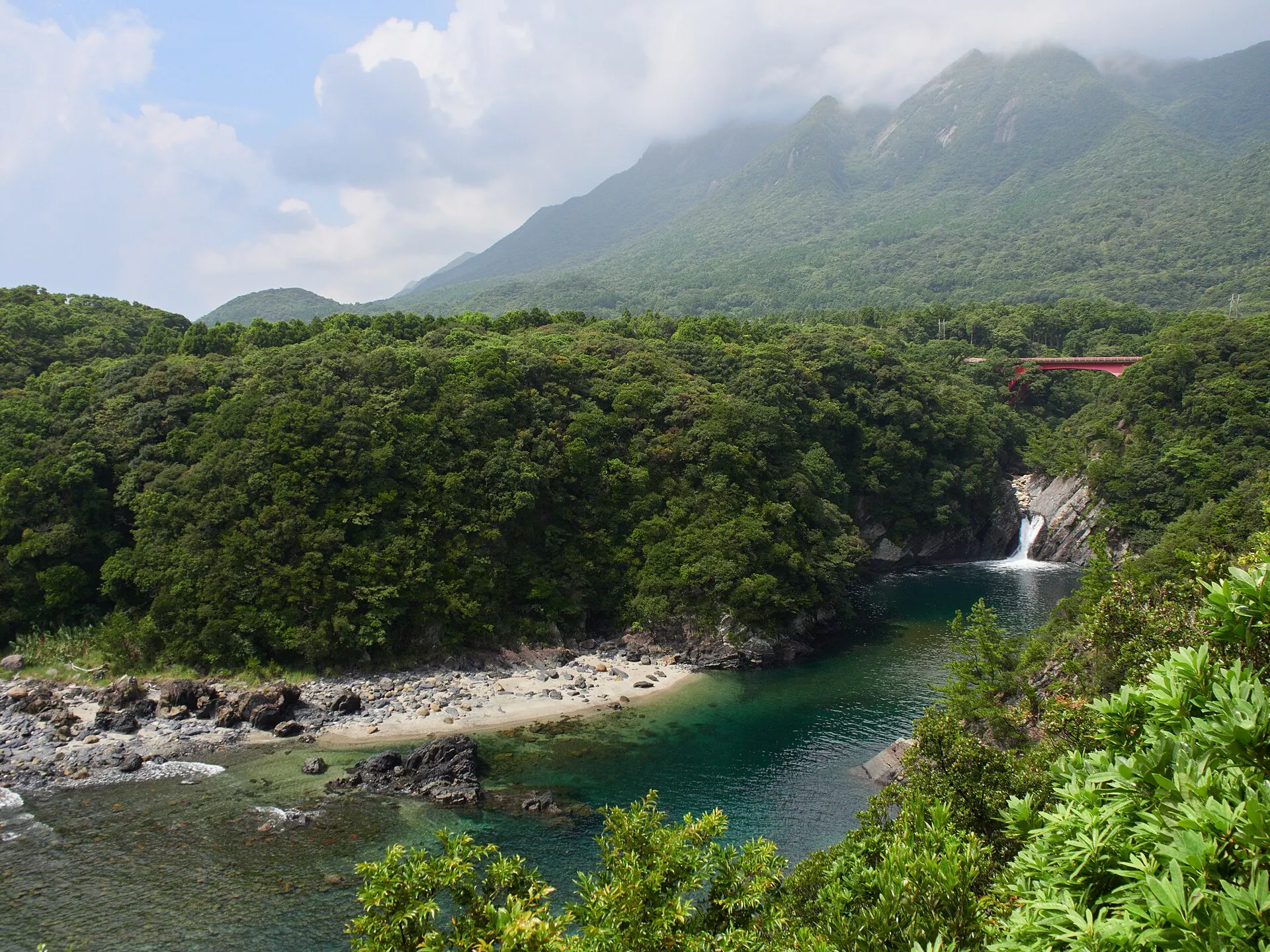
YAKUSHIMA
Yakushima
Kagoshima
A forest of moss and giant trees. An island where a thousand years flow by.
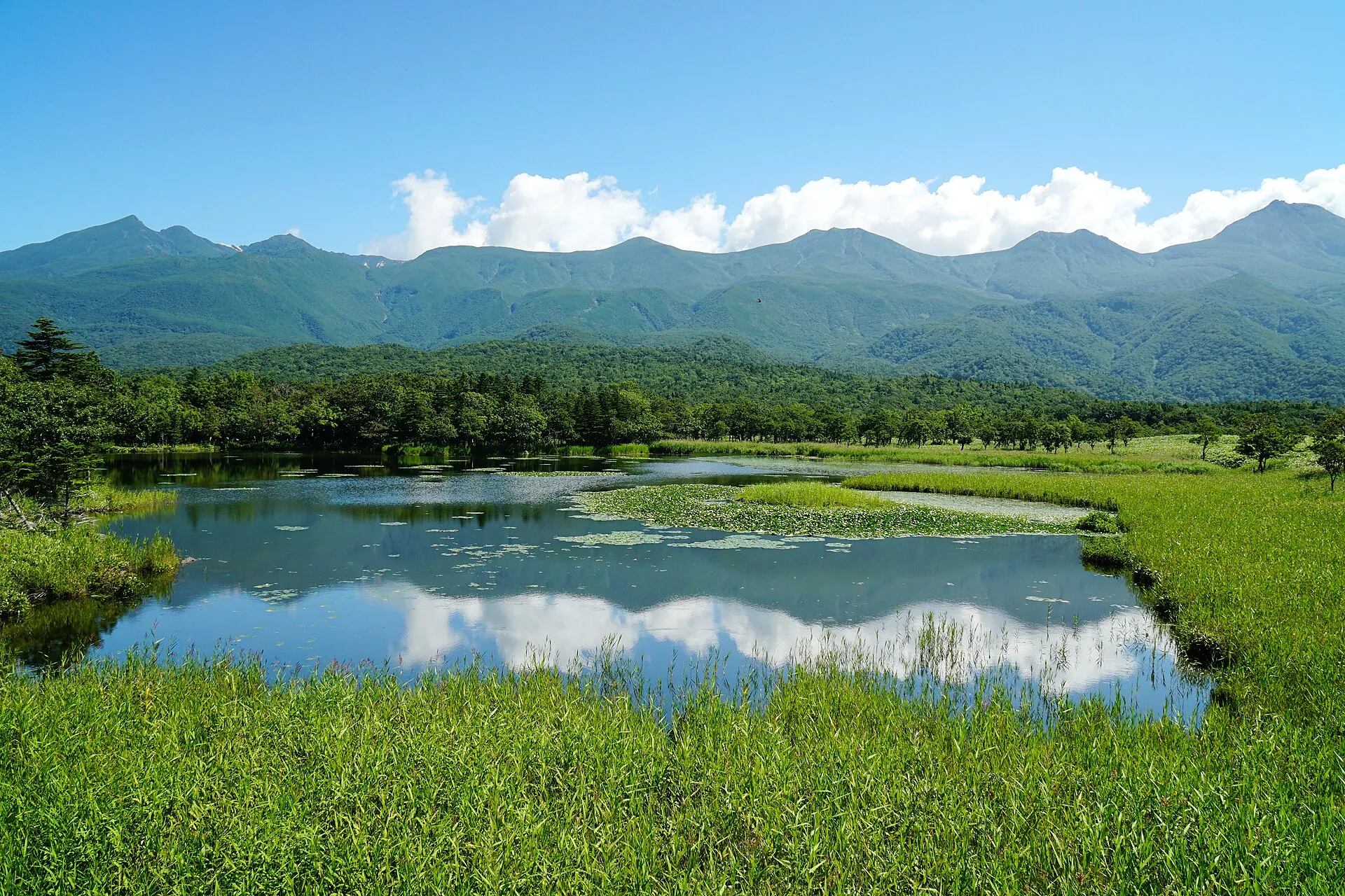
SHIRETOKO
ShiretokoHokkaido · Hokkaido
The Shiretoko Peninsula at the eastern tip of Hokkaido. Recognised for an ecosystem in which nutrients carried by drift ice link the sea to the forests and mountains, it was inscribed as a World Natural Heritage site in 2005. The Shiretoko Five Lakes, sheer coastal cliffs and pristine nature home to brown bears and deer remain.
Seas / Forests / Lakes
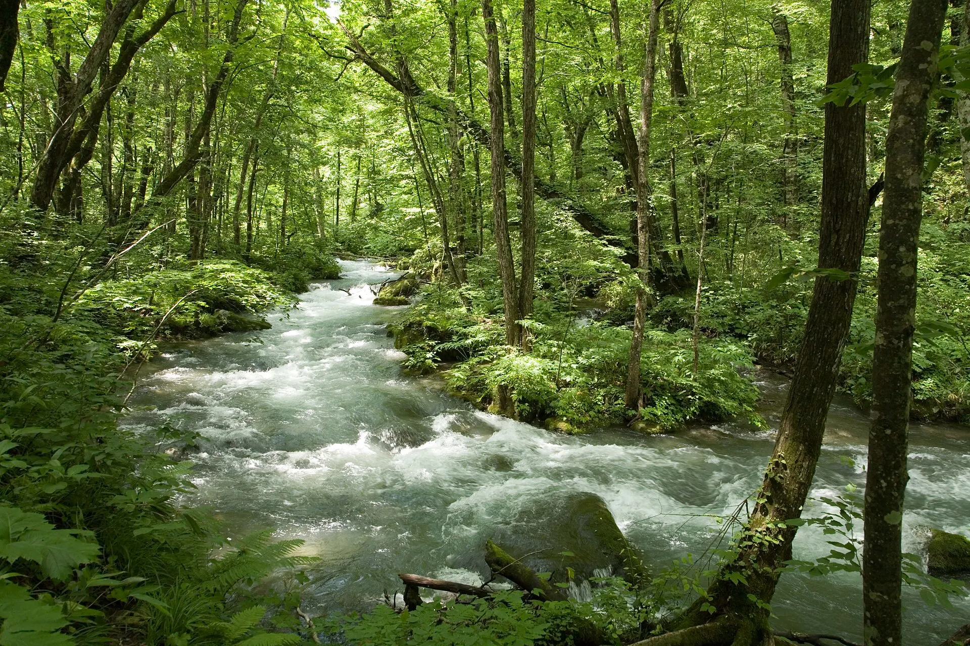
OIRASE
Oirase StreamAomori · Tohoku
Towada City, Aomori Prefecture. A mountain stream running from Nenokuchi on Lake Towada to Yakeyama, where clear water flows between mossy rocks and forest in a succession of waterfalls and rapids. A walking trail follows the river.
Gorges / Forests / Waterfalls
09SourcesSources
Sources
- Wikipedia「上高地」Wikipedia
- Wikipedia「大正池」Wikipedia
- 環境省 中部山岳国立公園環境省
- Wikidata Q1048234(上高地)Wikidata
10Photo CreditsPhoto credits
| Photo | Title / Photographer | Source | Licence |
|---|---|---|---|
| Kamikochi - Kamikochi6519lumoplank | Wikimedia Commons ↗ | CC0 |
| Kamikochi Taisho-ike05n3200663highland | Wikimedia Commons ↗ | CC BY 2.5 |
 | Taisho Pond 2011-09photo: Qurren (talk) Taken with Canon IXY 10S | Wikimedia Commons ↗ | CC BY-SA 3.0 |
 | 20171028 TaishoPond 1331 (37831421295)Ray Swi-hymn from Sijhih-Taipei, Taiwan | Wikimedia Commons ↗ | CC BY-SA 2.0 |
 | Azumi, Matsumoto, Nagano Prefecture 390-1520, Japan - panoramioFumihiko Ueno | Wikimedia Commons ↗ | CC BY 3.0 |
 | Kamikōchi, Hida Mountains range, Nagano Prefecture; September 2007 (02)skyseeker | Wikimedia Commons ↗ | CC BY 2.0 |
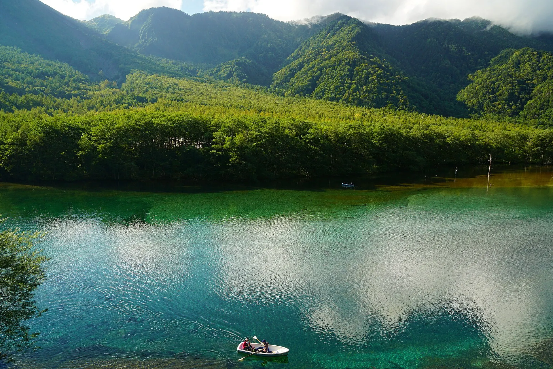 | 150920 Taisho-ike Kamikochi Japan08bs3663highland | Wikimedia Commons ↗ | CC BY 2.5 |