Aomori, Japan
Oirase StreamOIRASE
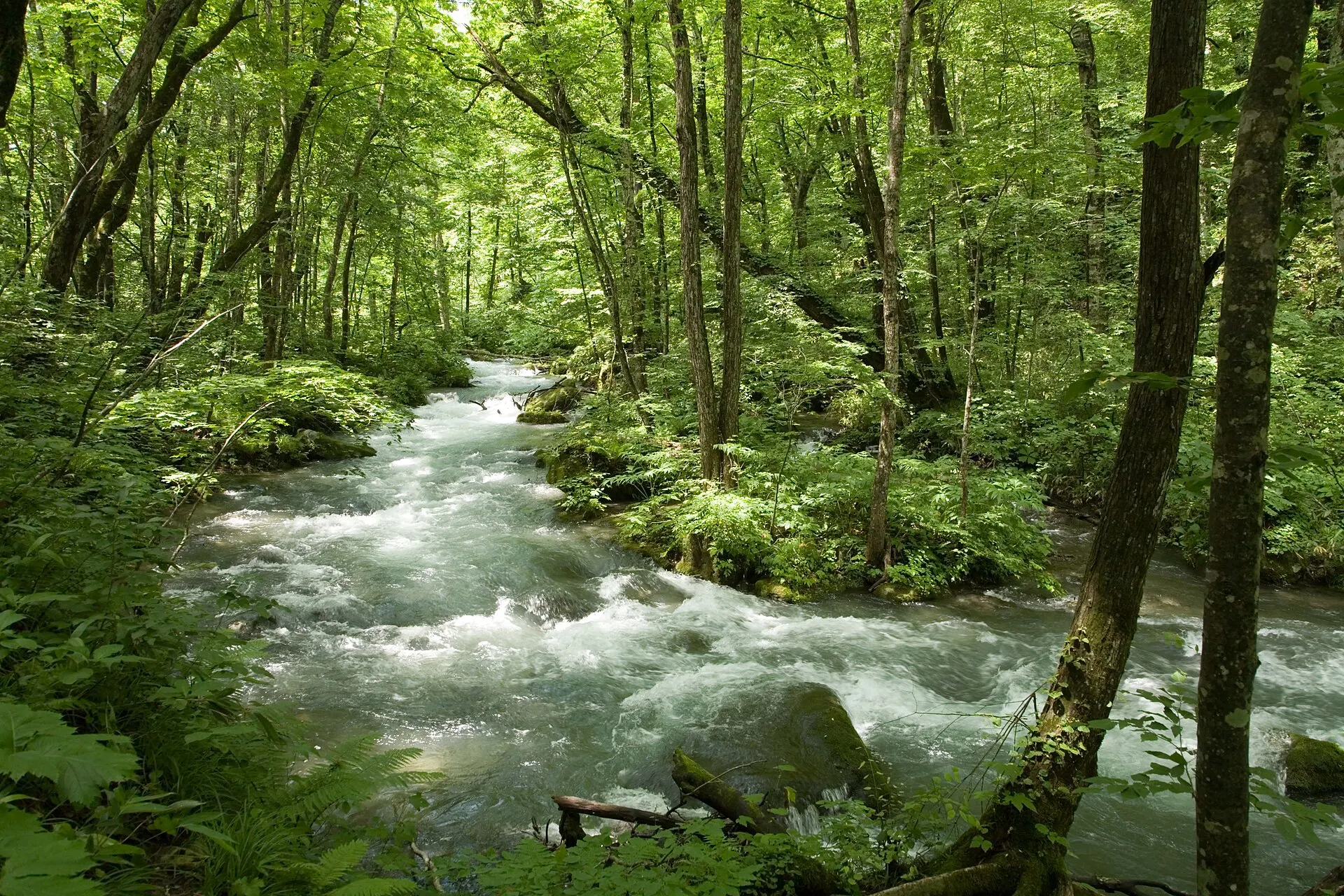
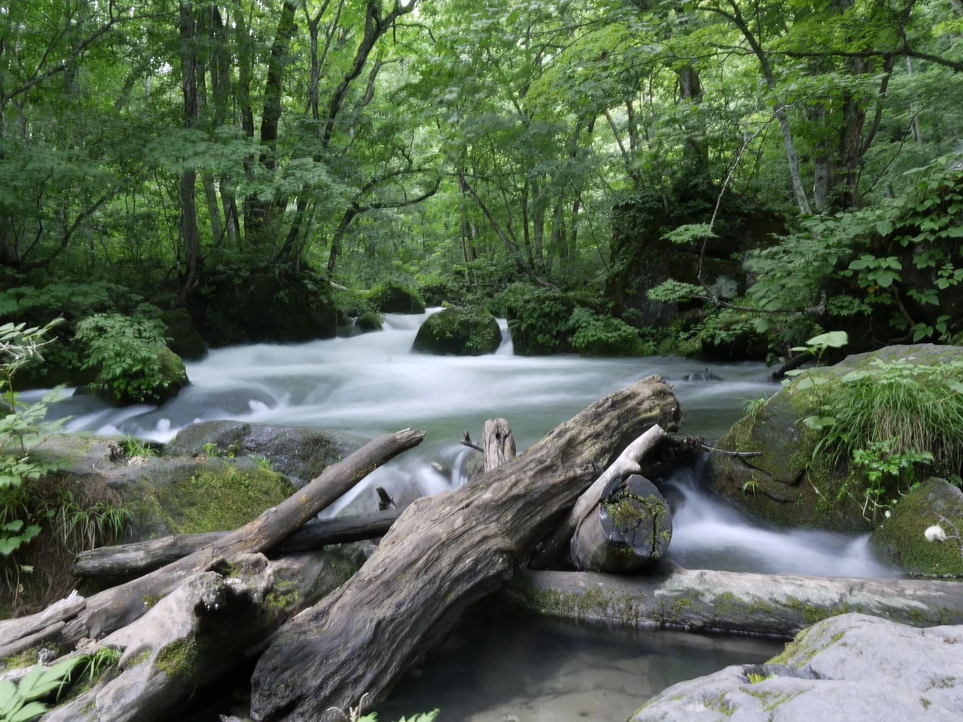
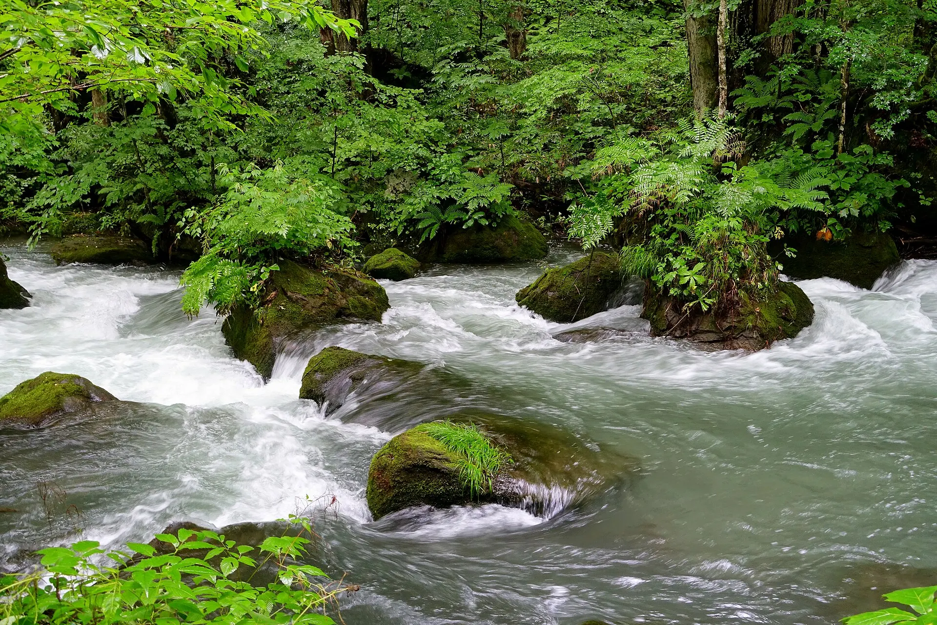
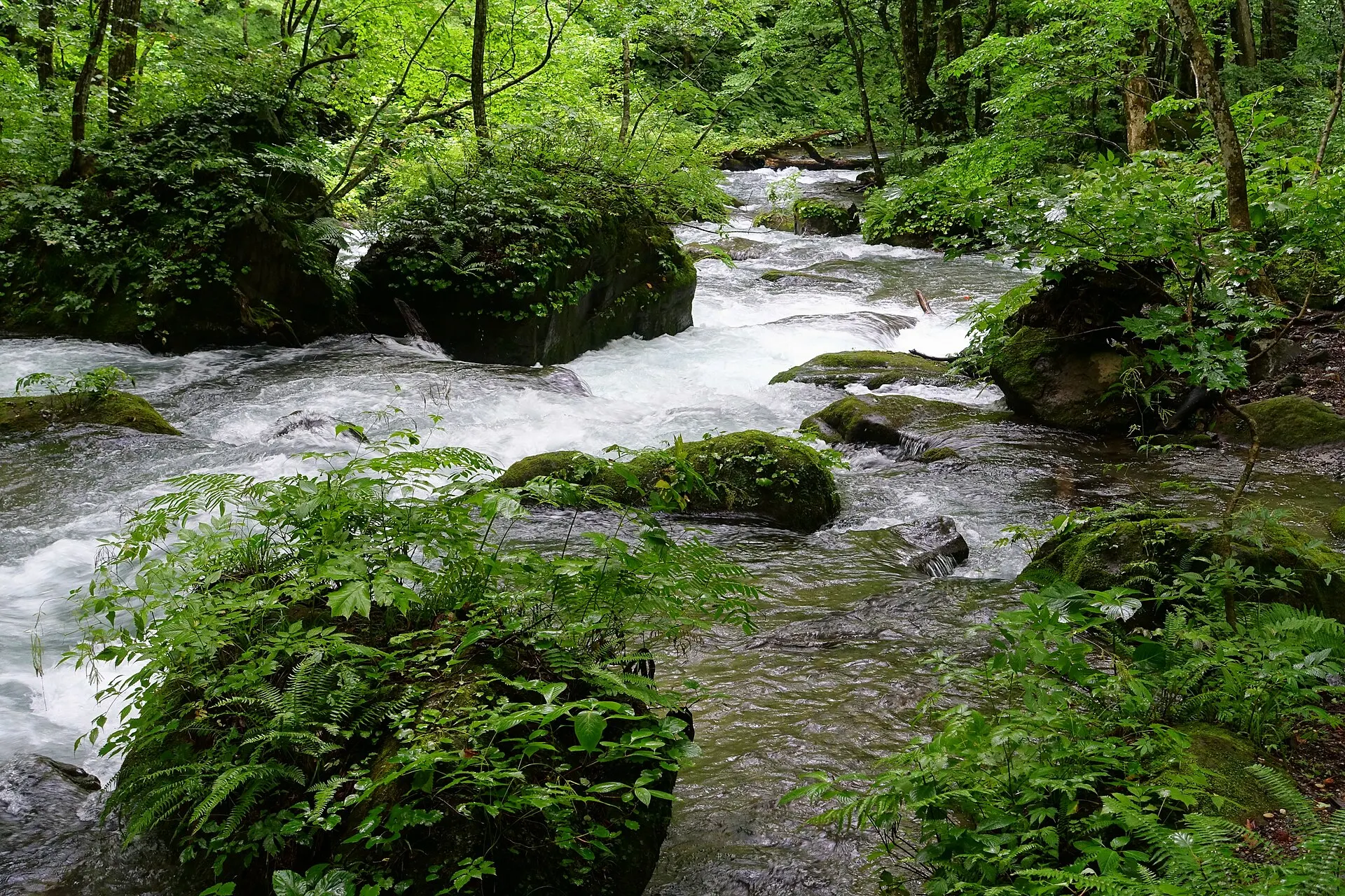
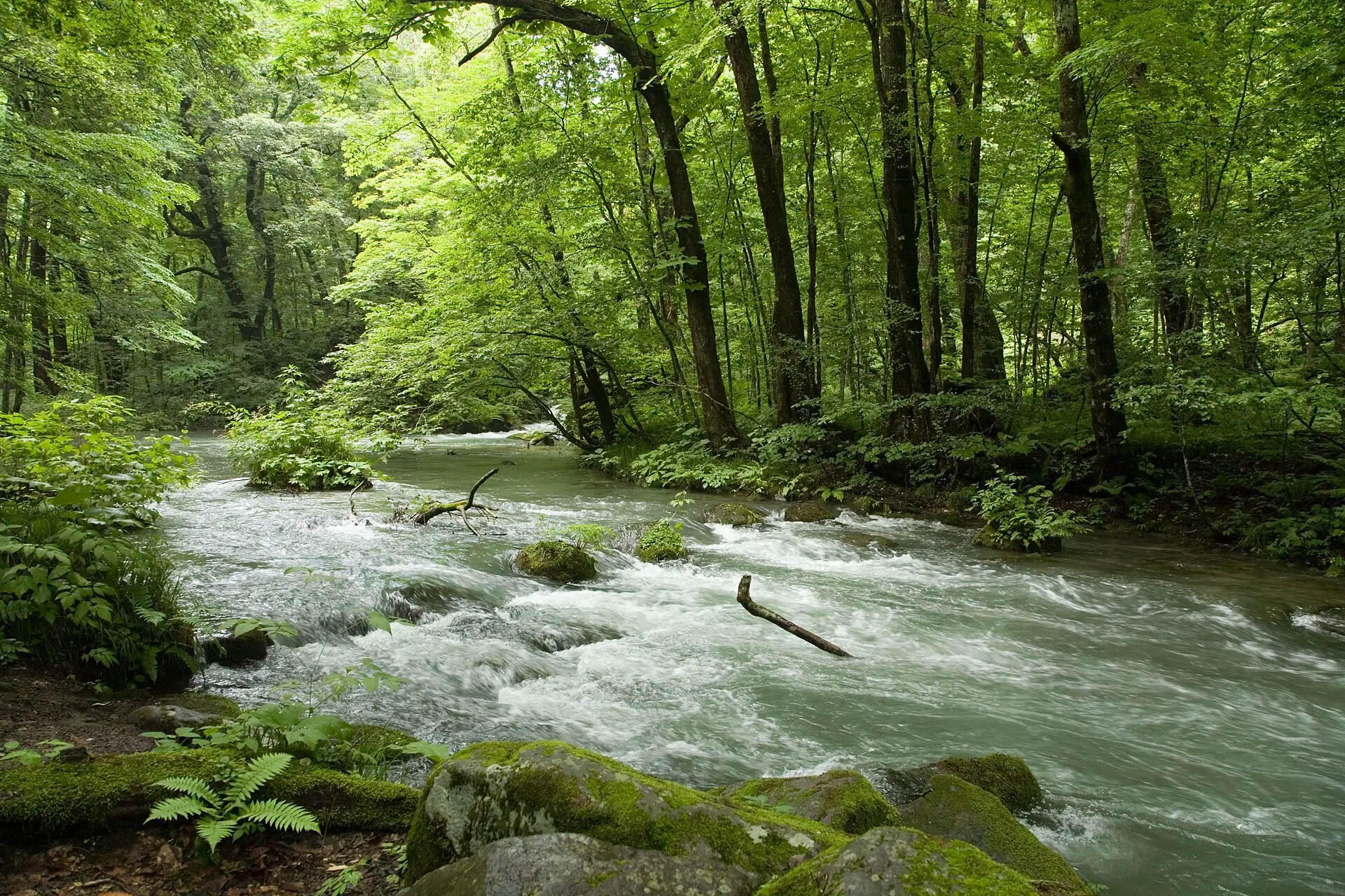
A green stream flowing out of Lake Towada.
40°32'N 140°58'E
01IntroductionIntroduction
A green stream flowing out of Lake Towada.
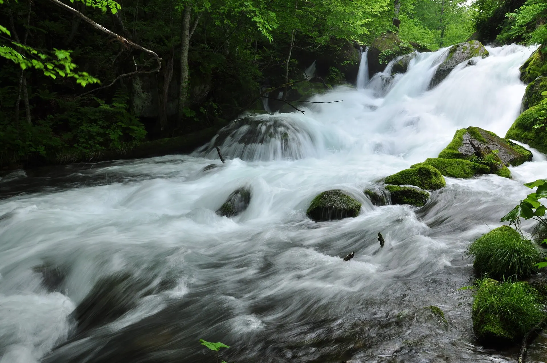
Towada City, Aomori Prefecture. A mountain stream running from Nenokuchi on Lake Towada to Yakeyama, where clear water flows between mossy rocks and forest in a succession of waterfalls and rapids. A walking trail follows the river.
02Key InformationKey information
Key information about Oirase Stream
Only information confirmed in the sources (listed at the bottom of the page) is shown. Please check the latest official information before your visit.
- PrefecturePrefecture
- Aomori
- RegionRegion
- Tohoku
- MunicipalityMunicipality
- Towada City
- CategoryScenery
- GorgesForestsWaterfallsNational parks
- Protected areasProtection
- Towada-Hachimantai National Park
- Special Place of Scenic Beauty and Natural Monument "Lake Towada and Oirase Stream"
- LocationCoordinates
- 40°32'N 140°58'E
Oirase Stream — Aomori
Photo: re-kuma / Wikimedia Commons / CC BY 3.0
03StoryStory
The Story of
Oirase Gorge
Walk along the current. The water foams white over the rocks, and the next moment is still as a mirror. The charm of the Oirase Stream is that these changes continue unbroken for kilometres.
Forests of beech and katsura cover both banks, and moss grows thick on the rocks. In the season of fresh greenery, even the light seems green.
04GalleryGallery
Photographs of Oirase Stream
4 photographs
—FilmTravel through film
Oirase Stream on film
【4K絶景】十和田八幡平国立公園|紅葉・温泉・雪景色を堪能する癒しの映像ガイド
Source: 環境省 日本の国立公園 / Watch on YouTube ↗
The films shown here are published on YouTube by official channels such as the Ministry of the Environment, local governments and tourism associations, and are presented using YouTube's embed feature. Copyright remains with each publisher. No connection is made to YouTube until you press play.
05SeasonsThrough the seasons
The four seasons of Oirase Stream
SpringSpring
The season of fresh greenery. Light filtering through young leaves illuminates the stream.
Recommended
SummerSummer
A forest of deep green and moss. Walk amid the cool sound of water.
Recommended
AutumnAutumn
Both banks of the stream are dyed in autumn colours. The most popular season.
Recommended
WinterWinter
The waterfalls freeze into columns of ice.
Recommended
06LocationLocation
40°32'N 140°58'E
Aomori, Towada City (Tohoku)
An interactive map is in preparation. For now, the location is shown among all destinations.
07NearbyNearby scenic spots
Another landscape, close by.
Lake Towada
TOWADA
About 11 km (straight-line distance)
Matsushima
MATSUSHIMA
About 241 km (straight-line distance)
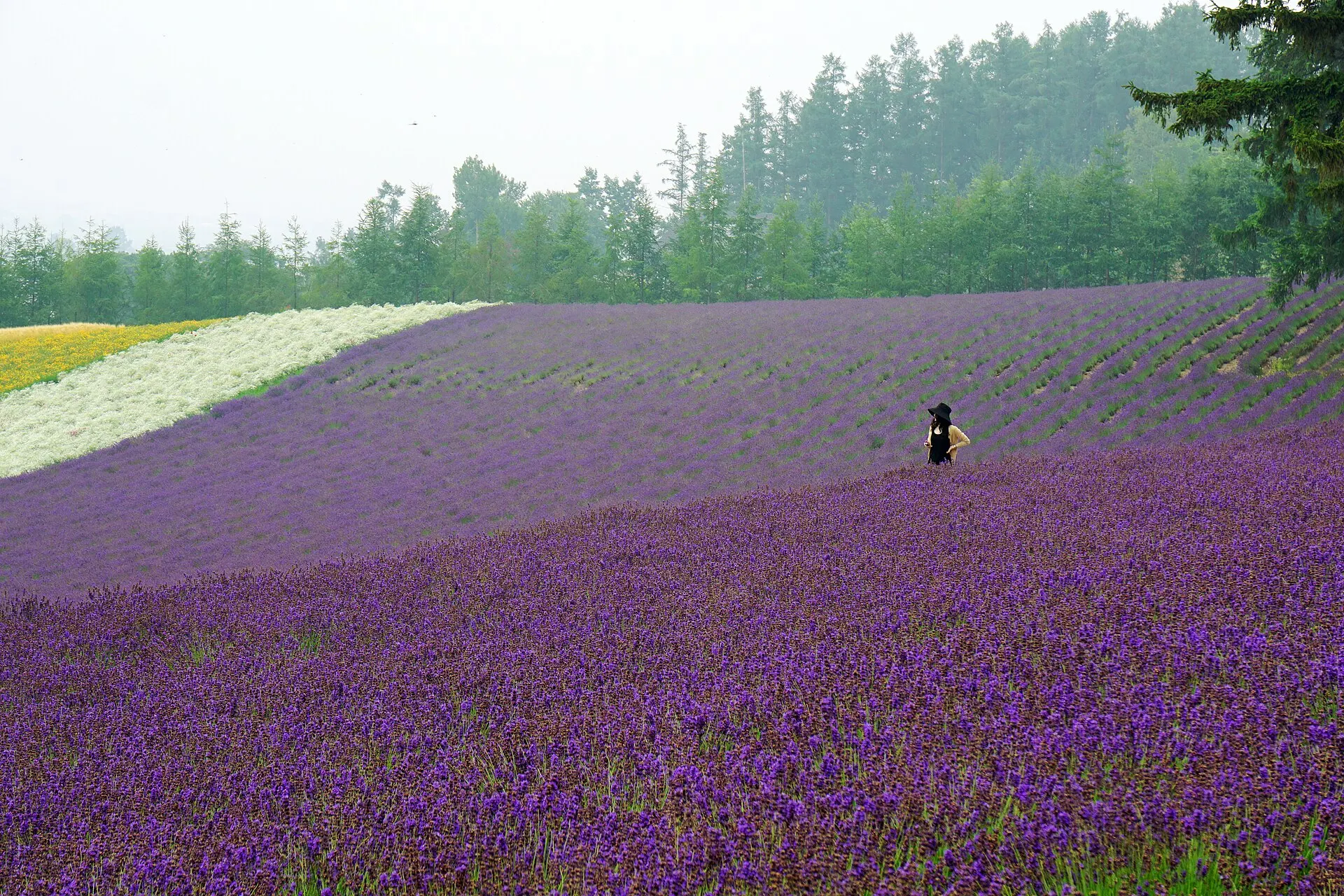
Furano
FURANO
About 342 km (straight-line distance)
08RelatedSimilar landscapes
If you love this landscape.
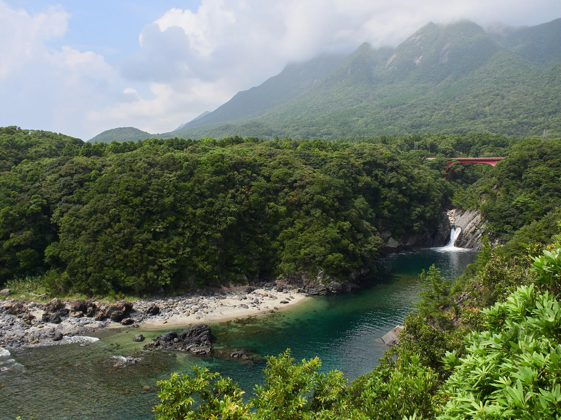
YAKUSHIMA
Yakushima
Kagoshima
A forest of moss and giant trees. An island where a thousand years flow by.
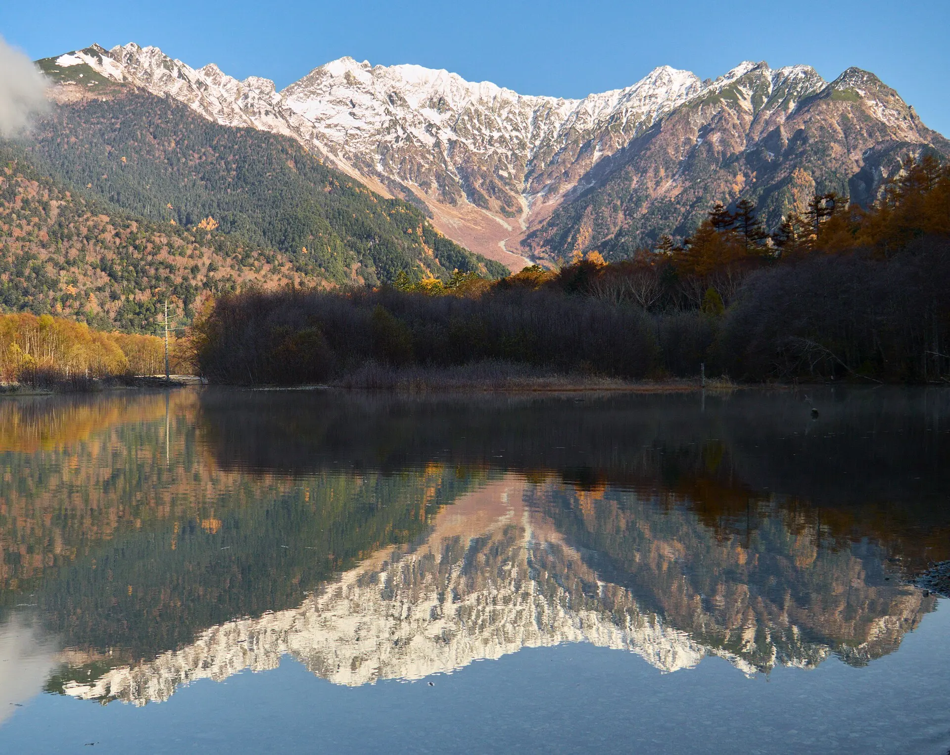
KAMIKOCHI
KamikochiNagano · Koshinetsu
A mountain scenic area at an elevation of about 1,500 m, set deep in the Northern Alps in Matsumoto, Nagano Prefecture. Along the Azusa River, beneath the Hotaka mountain range, lie Taisho Pond, Kappa Bridge and Myojin Pond.
Mountains / Gorges / Forests
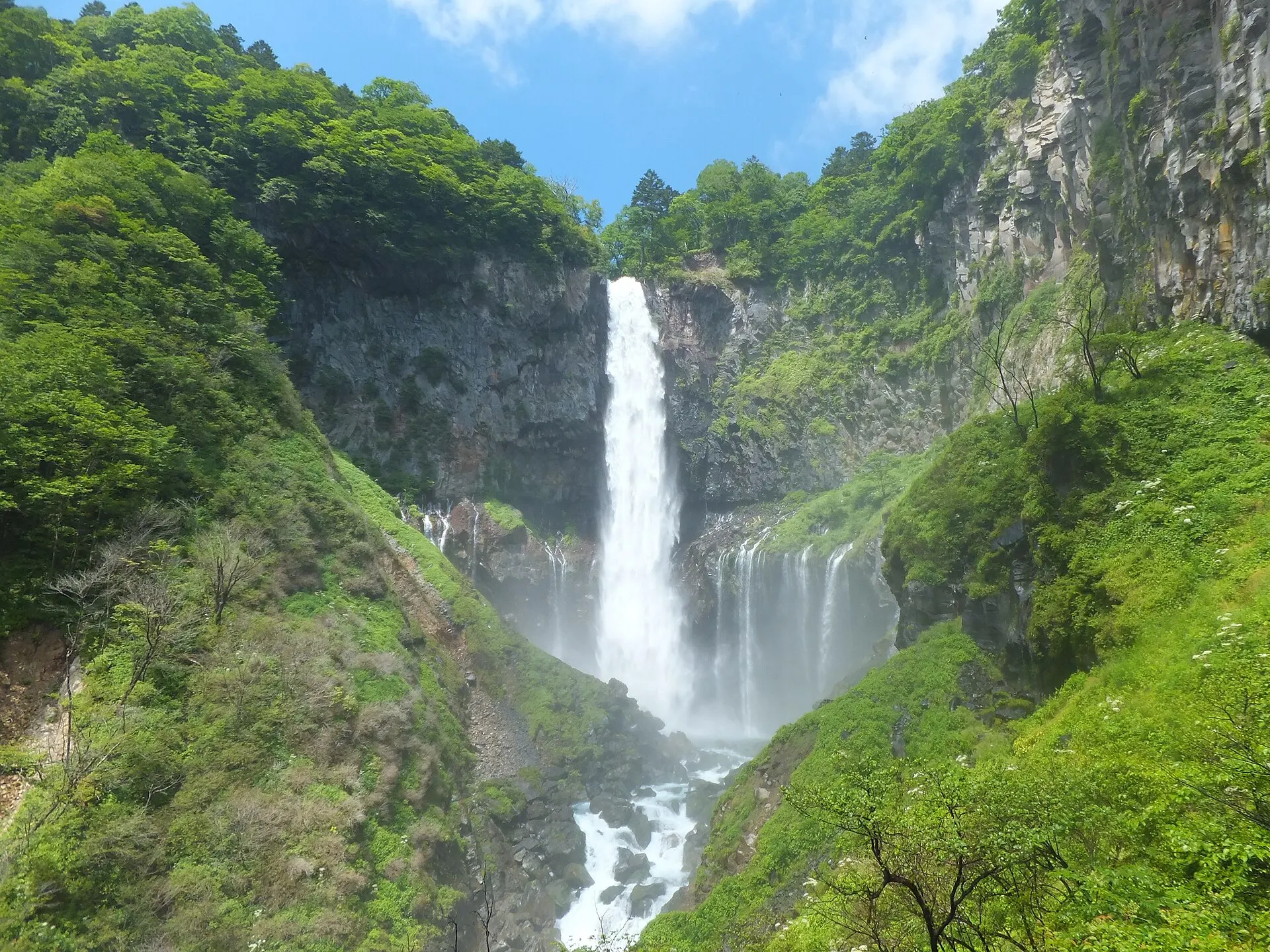
NIKKO
Nikko & Kegon FallsTochigi · Kanto
Nikko City, Tochigi Prefecture. At Kegon Falls, water flowing out of Lake Chuzenji plunges straight down a 97 m cliff. Counted with Nachi Falls and Fukuroda Falls among Japan's three great waterfalls, it is a signature landscape of Nikko National Park.
Waterfalls / Lakes / Forests
10Photo CreditsPhoto credits
| Photo | Title / Photographer | Source | Licence |
|---|---|---|---|
| Oirase (奧入瀨) (3800529489)Chi King | Wikimedia Commons ↗ | CC BY 2.0 |
| 090603奥入瀬渓流 - panoramiore-kuma | Wikimedia Commons ↗ | CC BY 3.0 |
 | OiraseValley1Ippukucho | Wikimedia Commons ↗ | CC BY 3.0 |
 | Oirase Mountain Stream - Towada, Aomori - DSC01228Daderot | Wikimedia Commons ↗ | CC0 |
 | Oirase Mountain Stream - Towada, Aomori - DSC01162Daderot | Wikimedia Commons ↗ | CC0 |
 | Oirase (奧入瀨) (3798591894)Chi King | Wikimedia Commons ↗ | CC BY 2.0 |