Hokkaido, Japan
FuranoFURANO
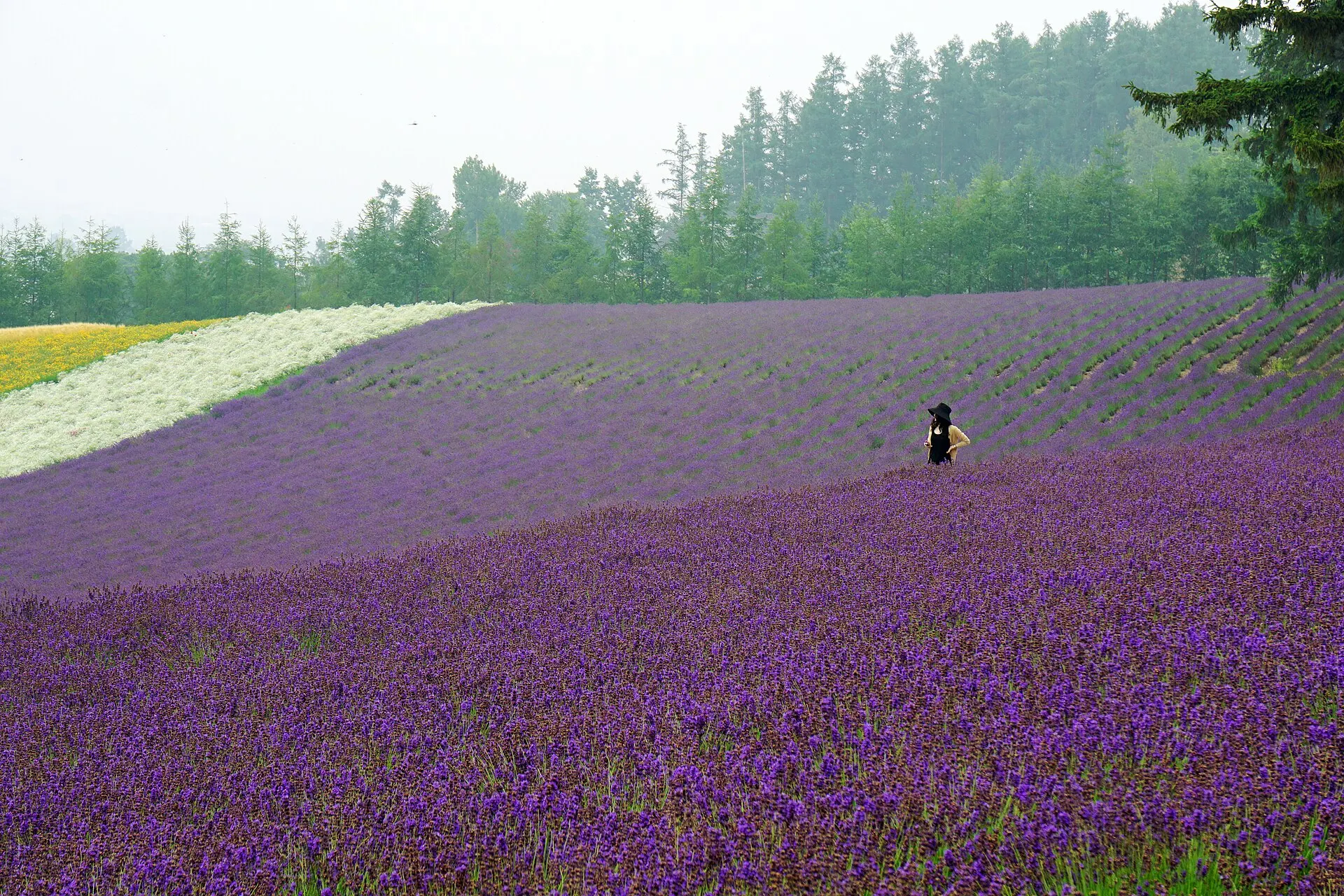
Summer lavender colouring the hills.
43°24'N 142°26'E
01IntroductionIntroduction
Summer lavender colouring the hills.
The Furano Basin, near the centre of Hokkaido, looking out to the Tokachi mountain range. Flower fields spread over the hills of Furano City and Nakafurano Town, and in July lavender turns the slopes purple.
02Key InformationKey information
Key information about Furano
Only information confirmed in the sources (listed at the bottom of the page) is shown. Please check the latest official information before your visit.
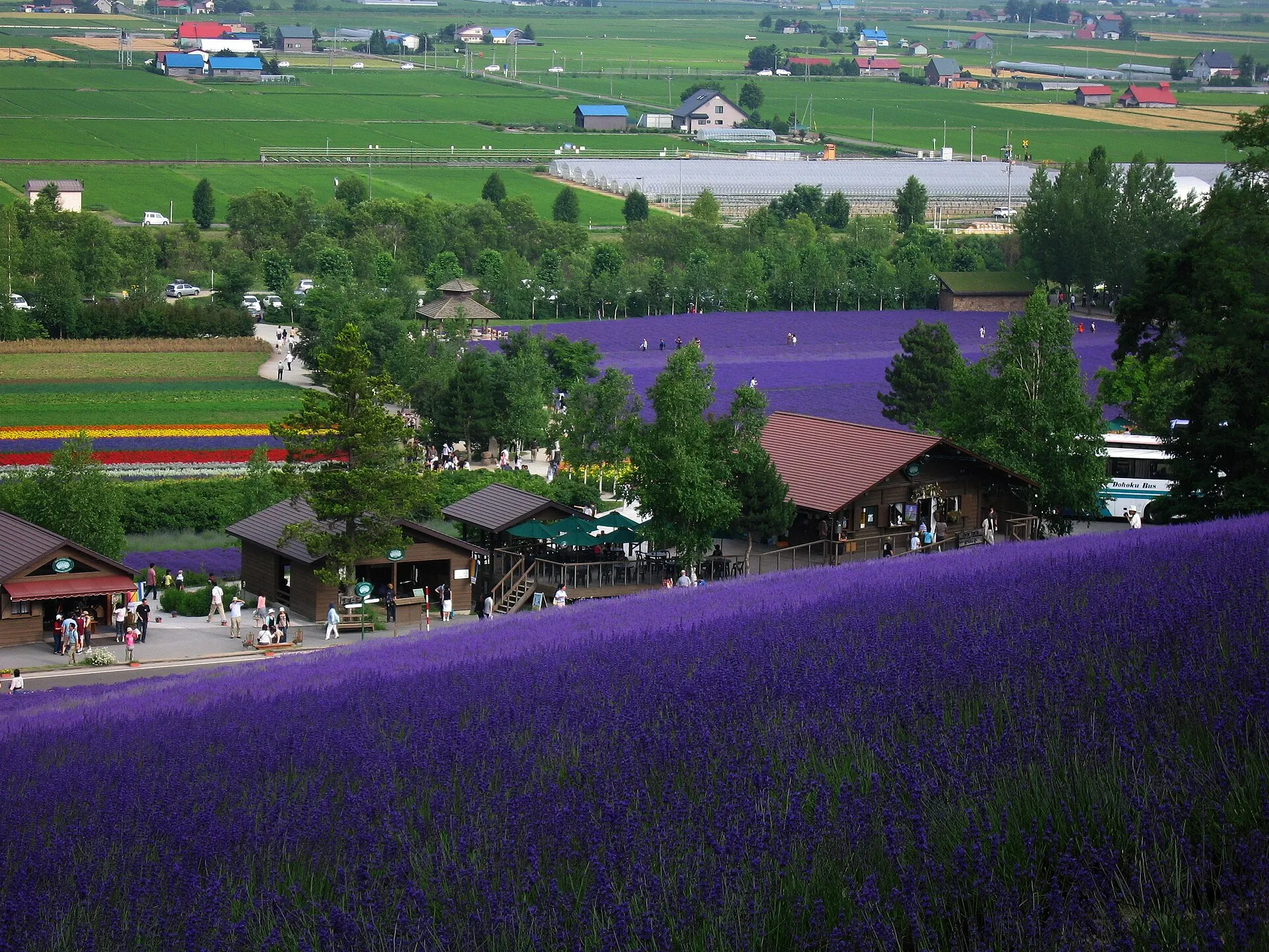
Furano — Hokkaido
Photo: Maga-chan / Wikimedia Commons / CC BY-SA 2.1 jp
03StoryStory
The Story of
Furano
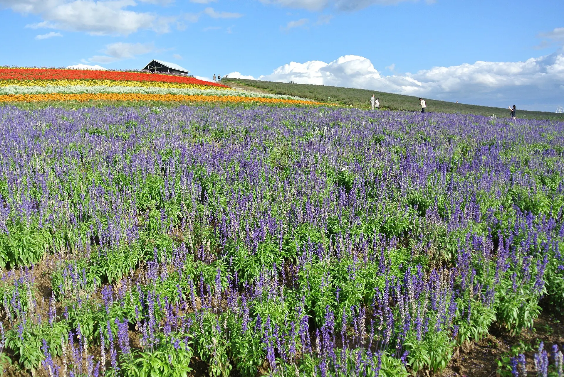
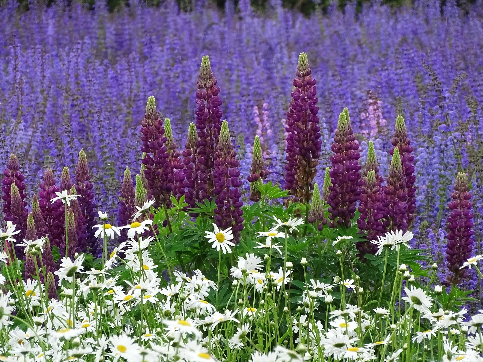
In July, the hillsides are painted in stripes of purple. The lavender fields of the Furano Basin have become a landscape that symbolises summer in Hokkaido.
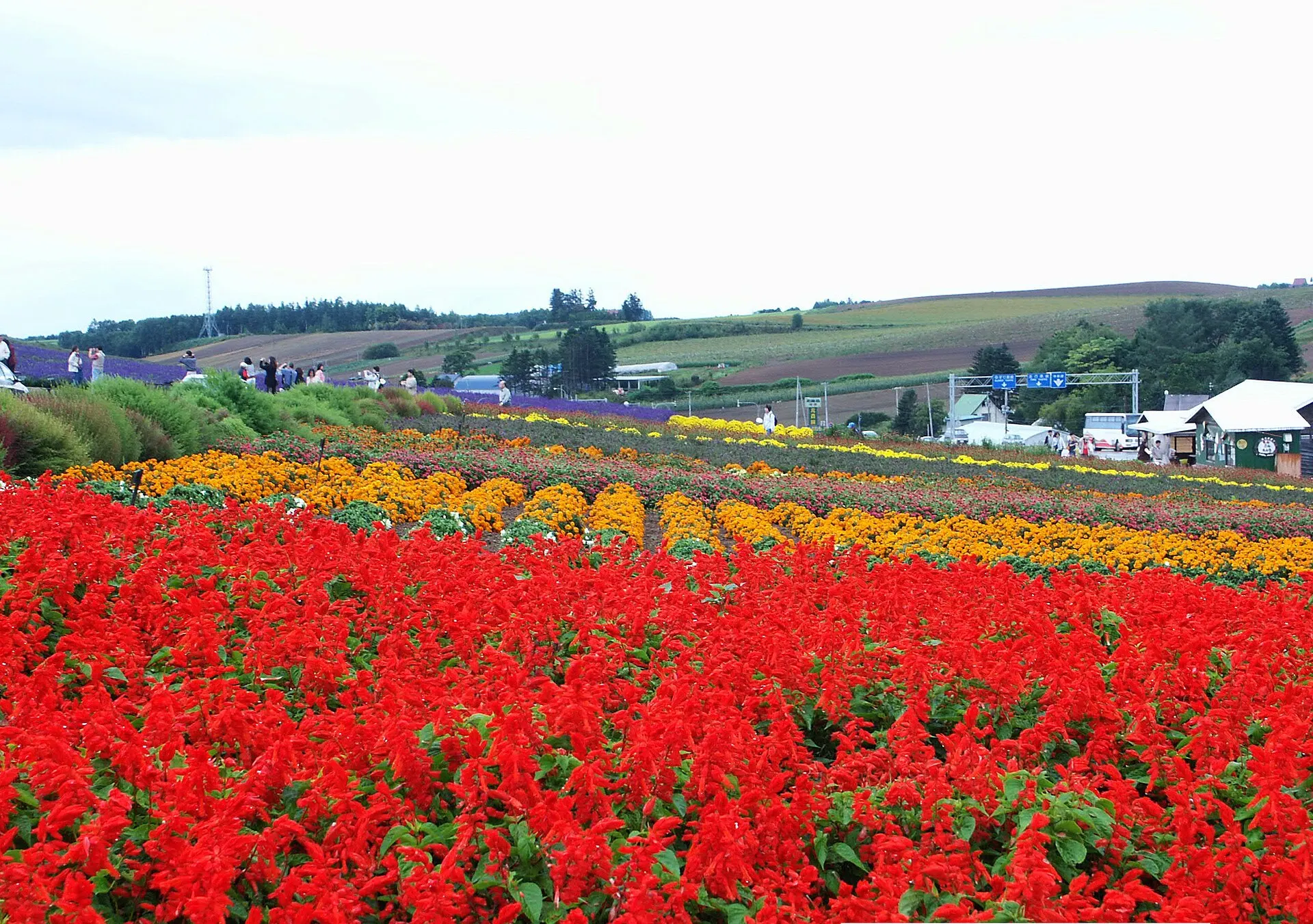
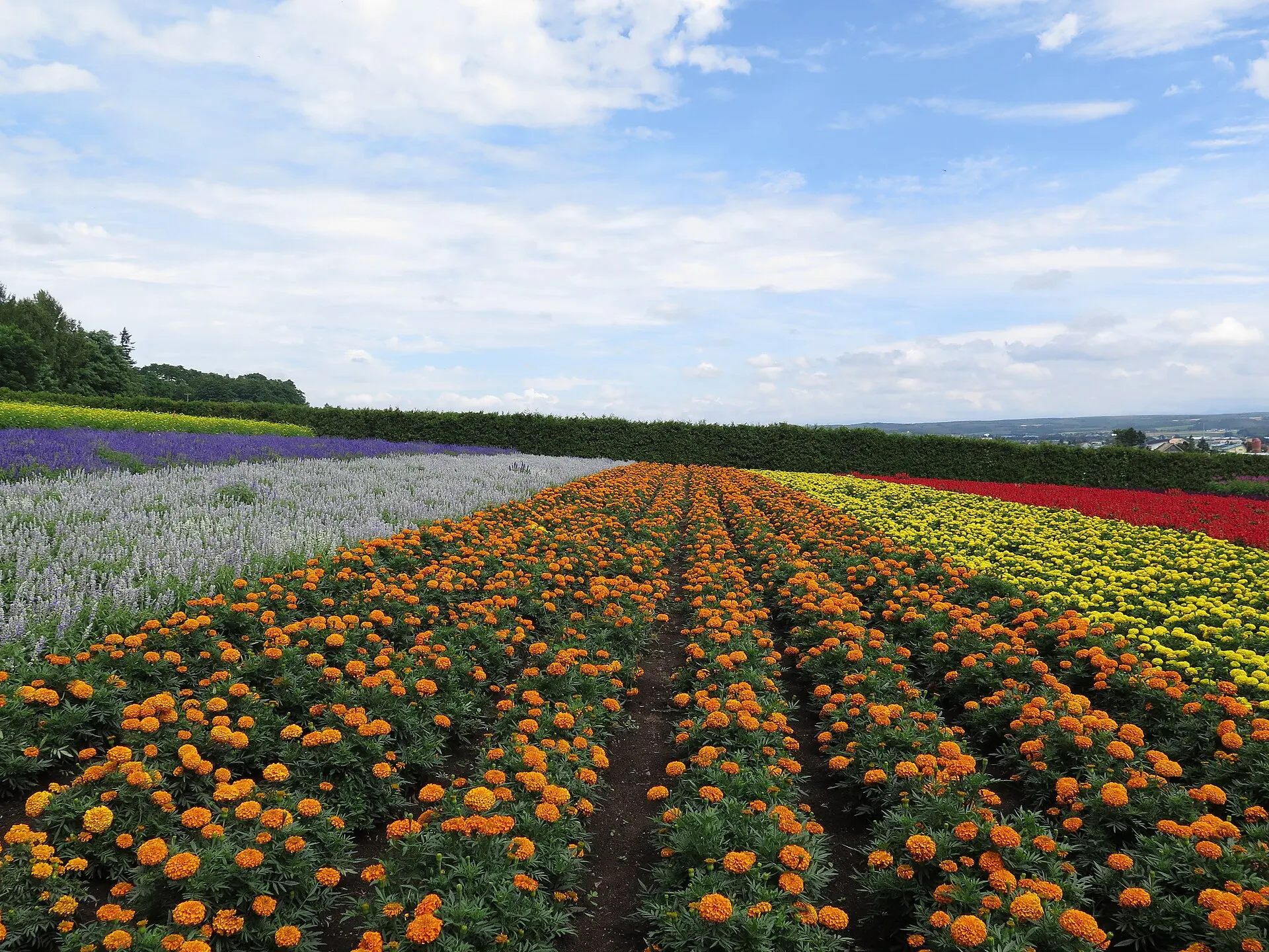
At Farm Tomita in Nakafurano, colourful flowers besides lavender are planted row by row, and bands of colour appear to stretch all the way to the distant Tokachi range.
04GalleryGallery
Photographs of Furano
4 photographs
—FilmTravel through film
Furano on film
【北海道富良野市】自然にいこう。PR動画30秒ver.
Source: 富良野市公式YouTubeチャンネル / Watch on YouTube ↗
The films shown here are published on YouTube by official channels such as the Ministry of the Environment, local governments and tourism associations, and are presented using YouTube's embed feature. Copyright remains with each publisher. No connection is made to YouTube until you press play.
05SeasonsThrough the seasons
The four seasons of Furano
SpringSpring
After a late thaw, the fields slowly turn green.
SummerSummer
Lavender is at its best around July. Colourful flower fields cover the hills.
Recommended
AutumnAutumn
The harvest season. The hills turn golden.
Recommended
WinterWinter
Endless snowfields and the ski season in clear air.
Recommended
06LocationLocation
43°24'N 142°26'E
Hokkaido, Furano City, Nakafurano Town (Hokkaido)
An interactive map is in preparation. For now, the location is shown among all destinations.
07NearbyNearby scenic spots
Another landscape, close by.
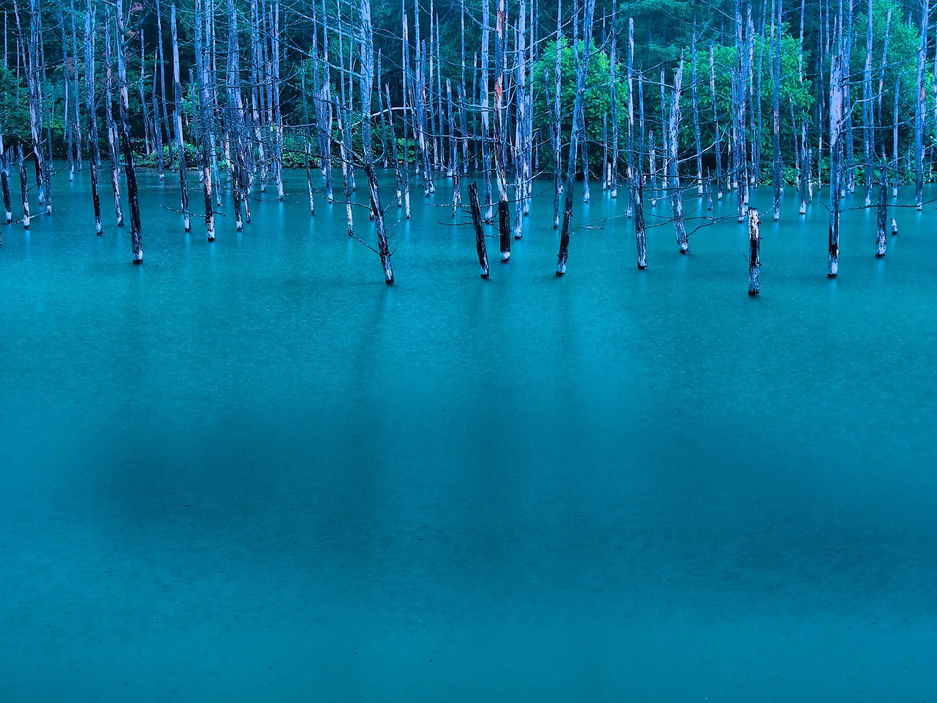
Biei
BIEI
About 21 km (straight-line distance)
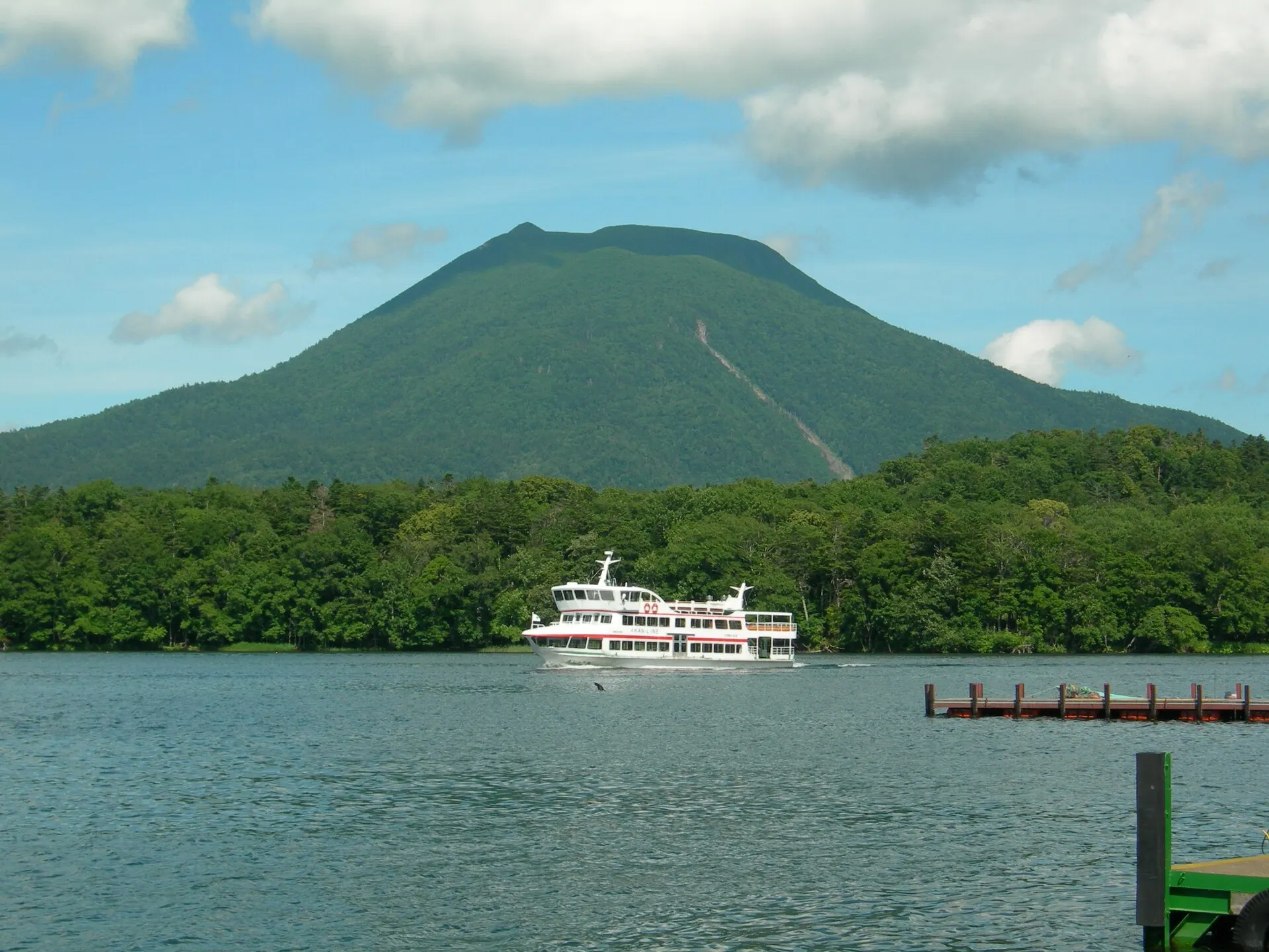
Lake Akan
AKAN
About 135 km (straight-line distance)
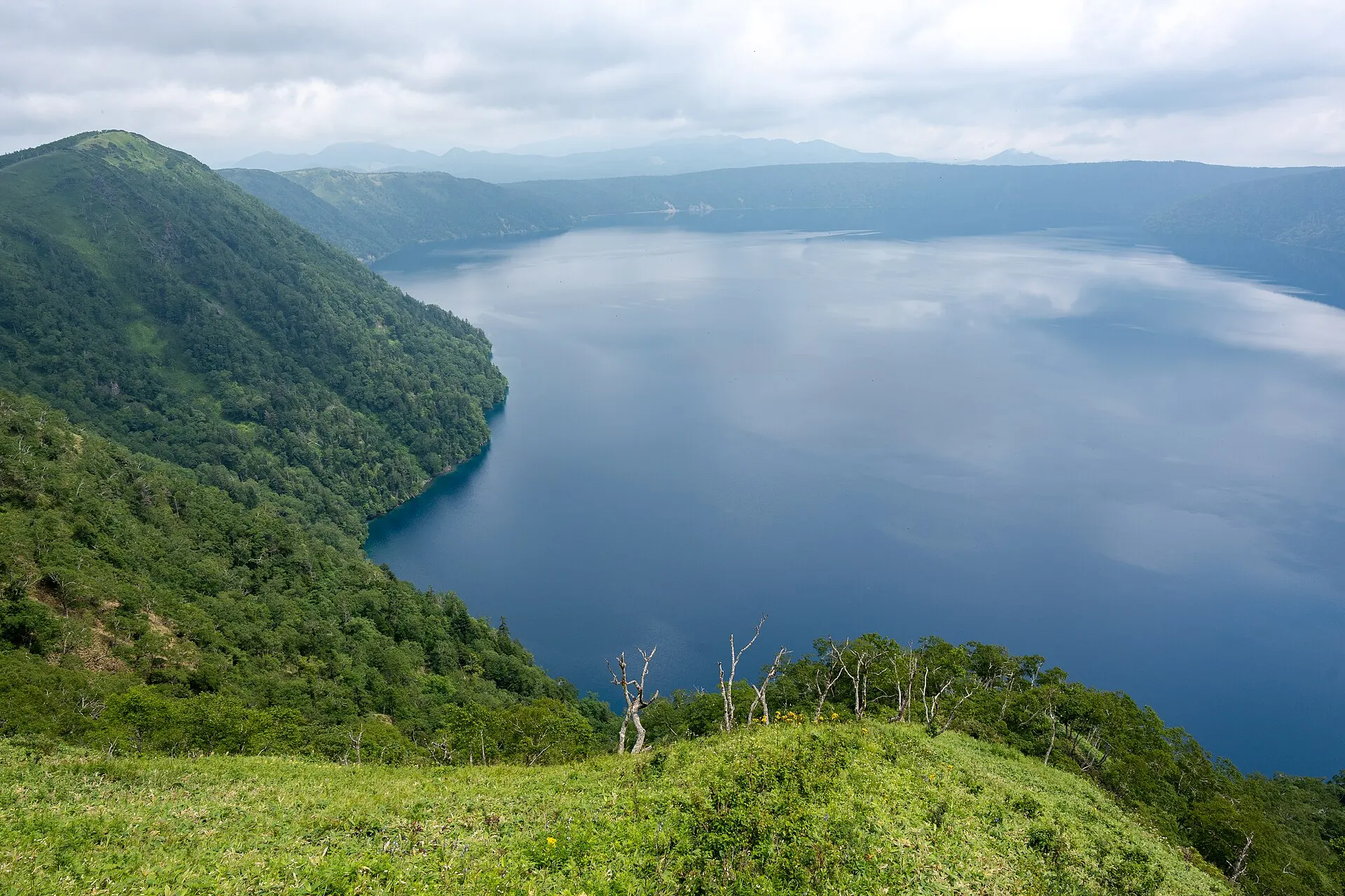
Lake Mashu
MASHU
About 170 km (straight-line distance)
08RelatedSimilar landscapes
If you love this landscape.
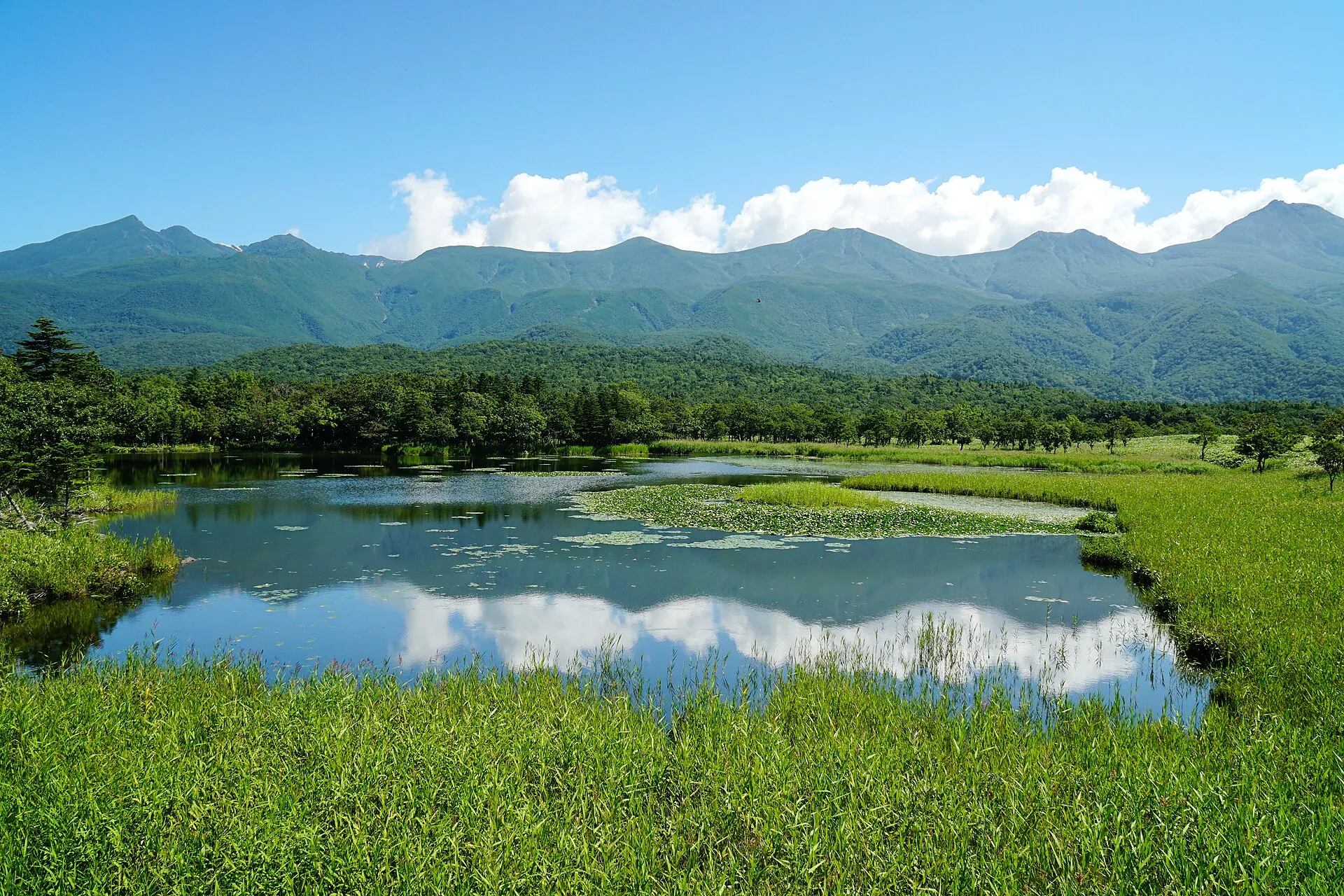
SHIRETOKO
Shiretoko
Hokkaido
A peninsula where sea, forest and mountains remain unbroken.
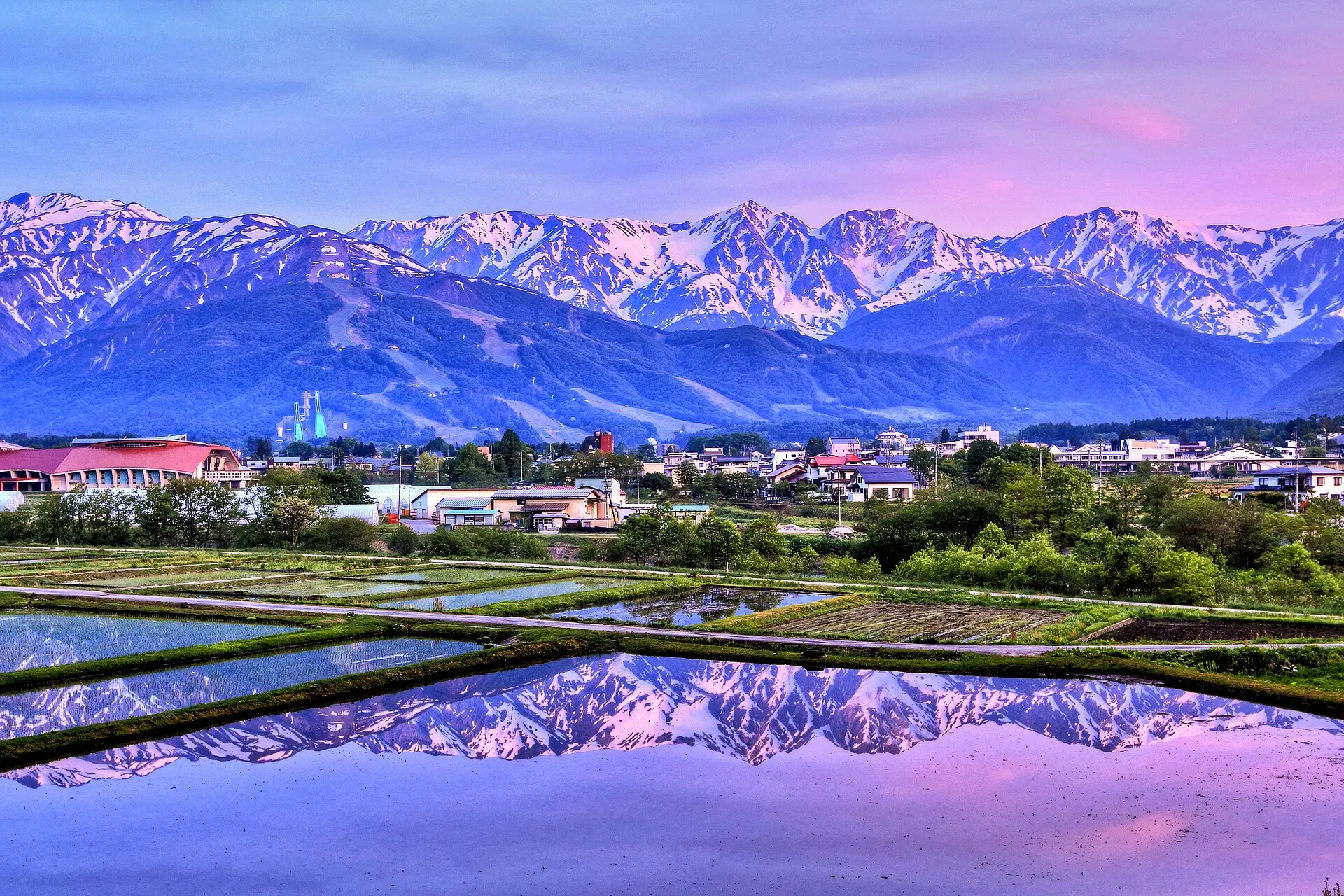
HAKUBA
HakubaNagano · Koshinetsu
Hakuba Village, Nagano Prefecture. A mountain resort of farmland and villages set against the three Hakuba peaks, including Mount Shirouma at 2,932 m. A base for skiing in winter, and for climbing and the highlands in summer.
Mountains / Snowscapes / Highlands
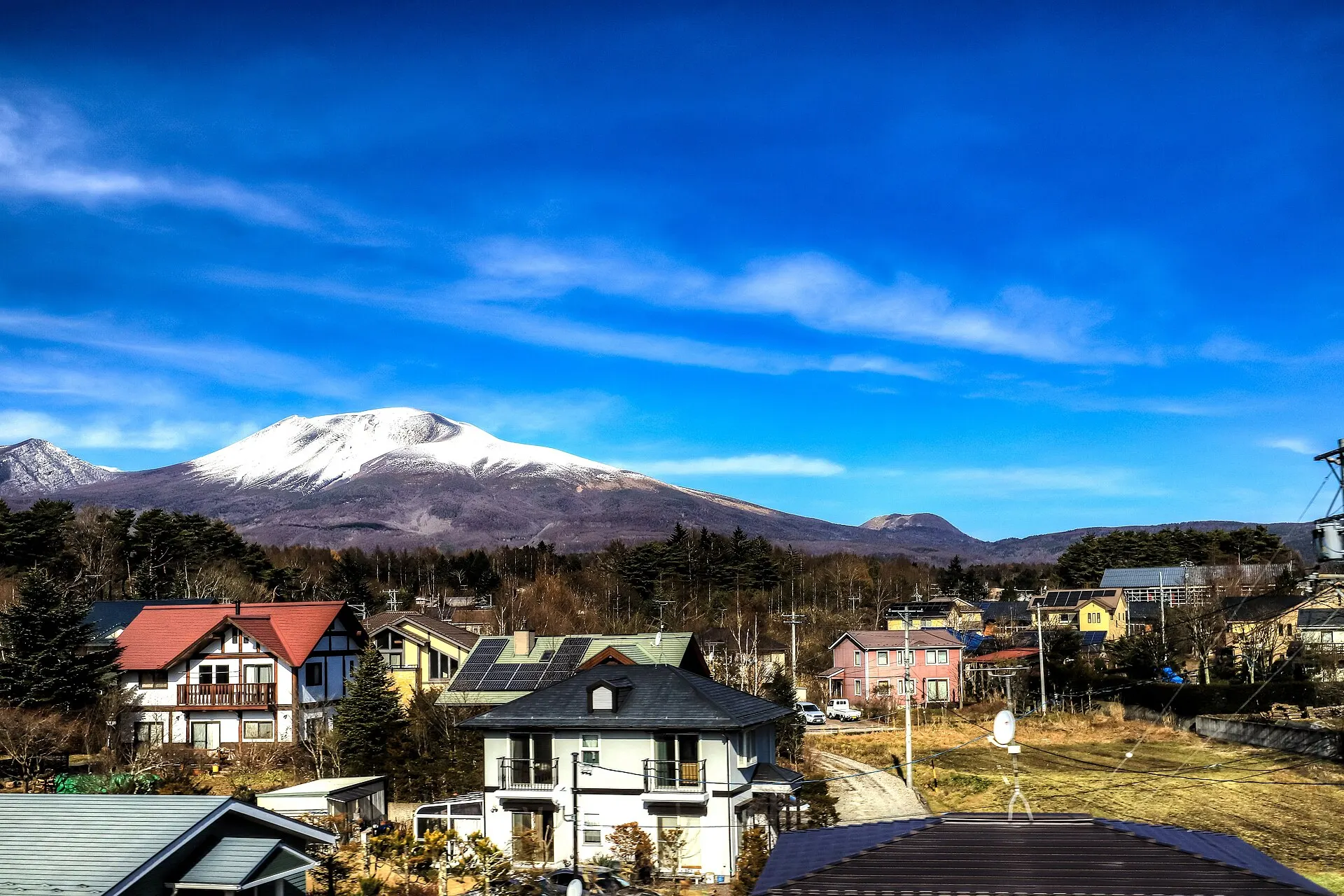
KARUIZAWA
KaruizawaNagano · Koshinetsu
Karuizawa Town, Nagano Prefecture. A highland summer retreat on the southeastern foot of Mount Asama (2,568 m). Developed as a villa area since the Meiji era, it is surrounded by quiet nature, from forest paths to Shiraito Falls.
Highlands / Forests / Waterfalls
09SourcesSources
Sources
- Wikipedia「富良野市」Wikipedia
- Wikipedia「中富良野町」Wikipedia
- Wikipedia「ファーム富田」Wikipedia
- Wikidata Q680384(中富良野町)Wikidata
10Photo CreditsPhoto credits
| Photo | Title / Photographer | Source | Licence |
|---|---|---|---|
| 140726 Farm Tomita Nakafurano Hokkaido Japan01s3663highland | Wikimedia Commons ↗ | CC BY 2.5 |
| Nakafurano 02Maga-chan | Wikimedia Commons ↗ | CC BY-SA 2.1 jp |
 | Farm Tomida 富田農場 - panoramiolienyuan lee | Wikimedia Commons ↗ | CC BY 3.0 |
 | Farm Tomita 20140812-5Suicasmo | Wikimedia Commons ↗ | CC BY-SA 4.0 |
 | Flowers at Farm Tomita 2Douglas Perkins | Wikimedia Commons ↗ | CC BY 4.0 |
 | Meadow Sage at Farm Tomita - Nakafurano - Hokkaido - Japan (48006047368)Adam Jones from Kelowna, BC, Canada | Wikimedia Commons ↗ | CC BY-SA 2.0 |