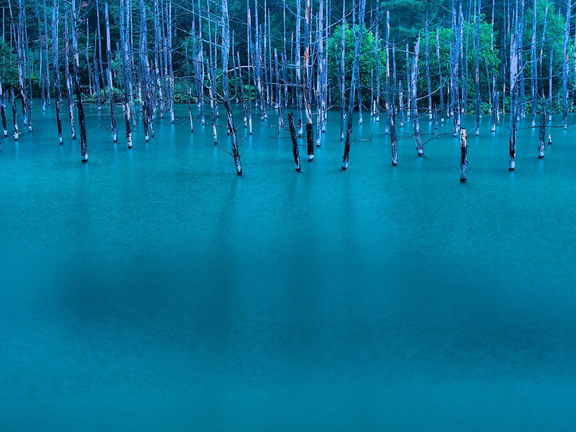
Hokkaido, Japan
BieiBIEI
Patchwork hills, and a blue pond.
43°35'N 142°28'E
01IntroductionIntroduction
Patchwork hills, and a blue pond.
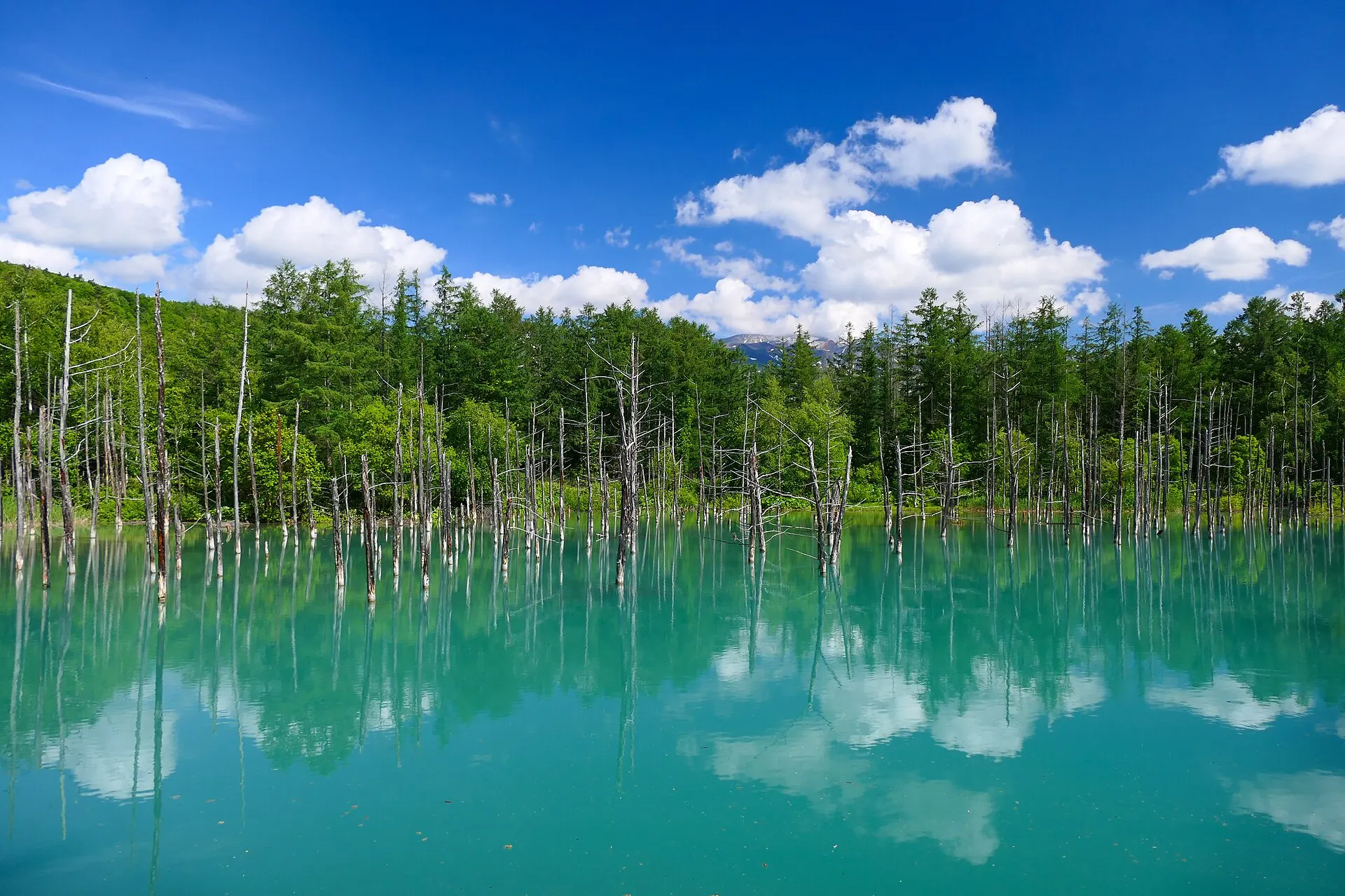
Biei Town, Hokkaido. Fields spread like patchwork across gentle hills, and at the foot of Mount Tokachi lies the Shirogane Blue Pond, whose water appears blue.
02Key InformationKey information
Key information about Biei
Only information confirmed in the sources (listed at the bottom of the page) is shown. Please check the latest official information before your visit.
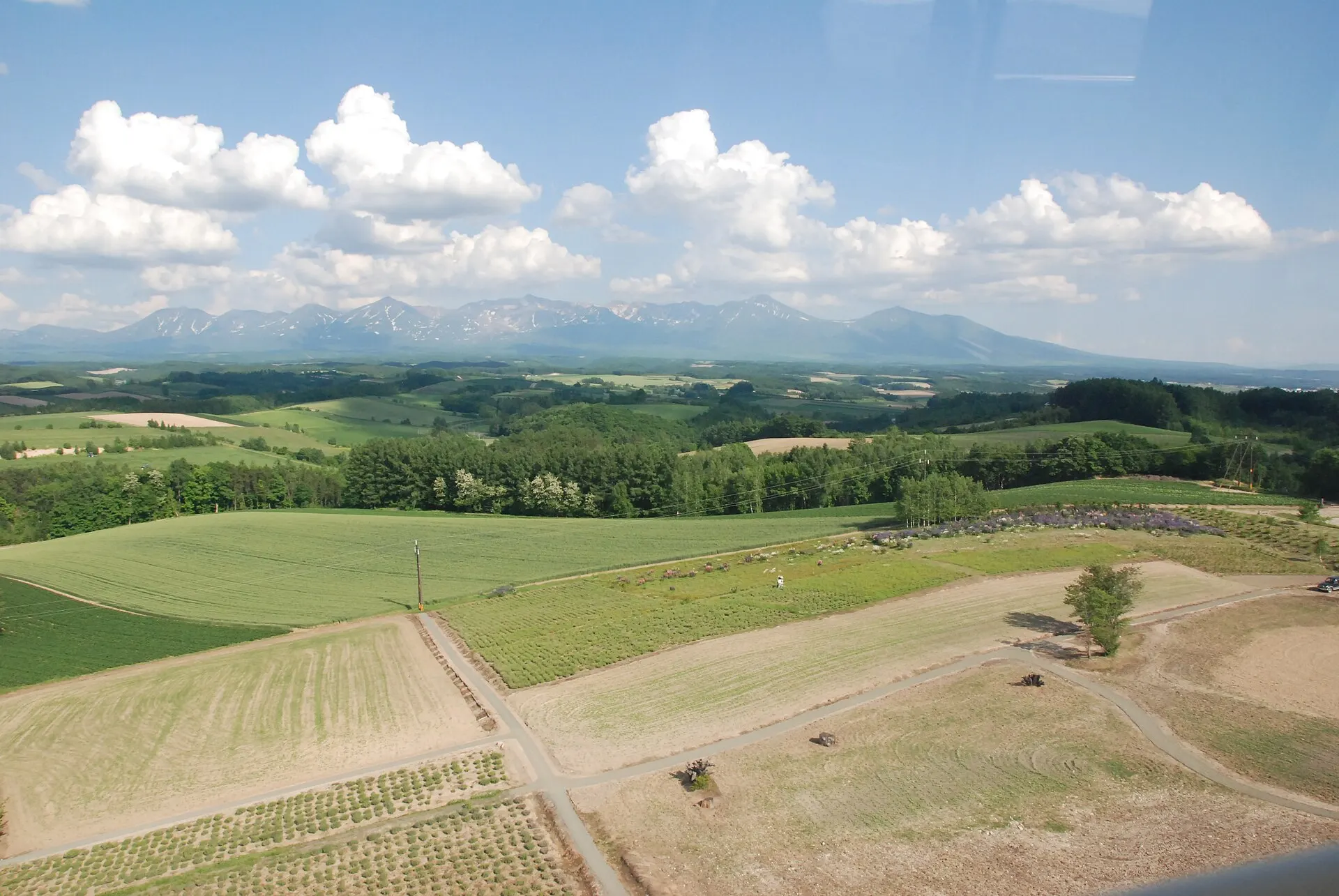
Biei — Hokkaido
Photo: u7shin / Wikimedia Commons / CC BY-SA 3.0
03StoryStory
The Story of
Biei
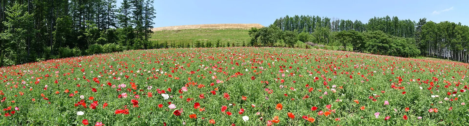
With every hill you cross, the combination of colours in the fields changes. Wheat, potatoes, buckwheat. Biei's landscape is a pattern drawn on the land by farming.
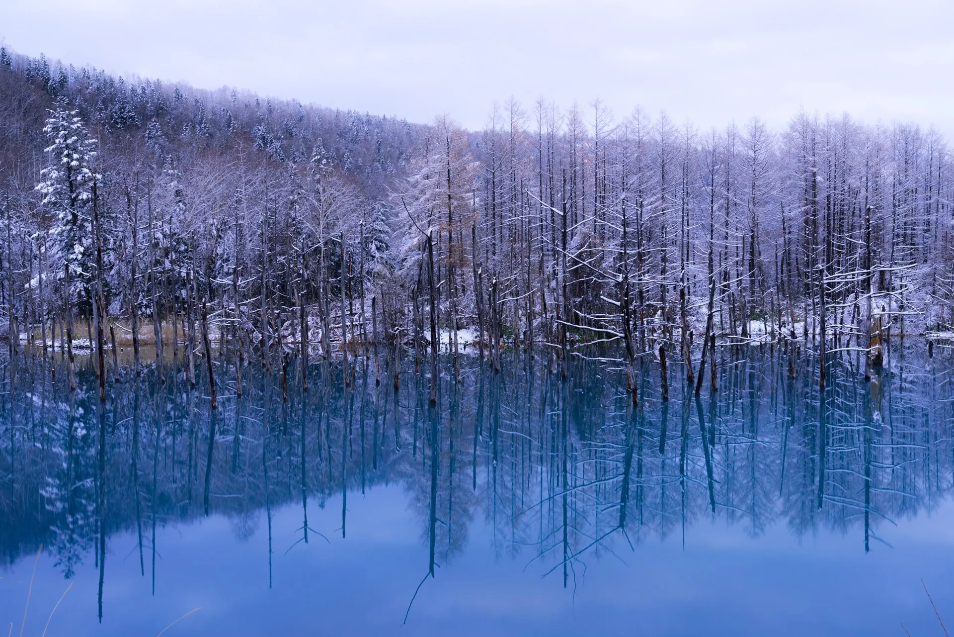
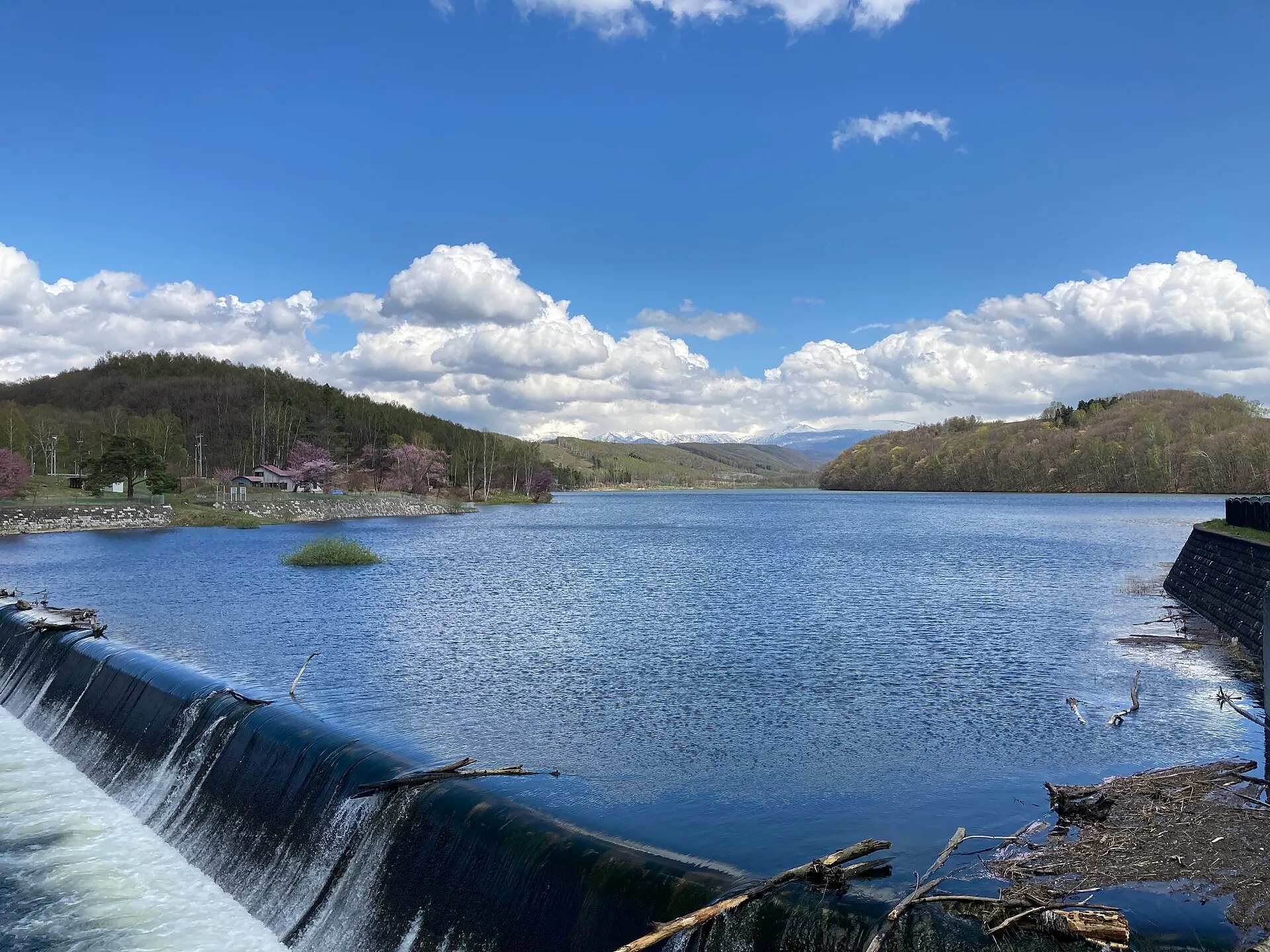
The Shirogane Blue Pond, at the foot of Mount Tokachi, formed when water collected behind a dam built to guard against volcanic mudflows. Its surface, lined with standing dead larches, changes its shade of blue with the weather and seasons.
04GalleryGallery
Photographs of Biei
4 photographs
—FilmTravel through film
Biei on film
青い池紹介動画(美瑛町観光協会)
Source: 美瑛町観光協会 / Watch on YouTube ↗
美瑛町シティプロモーション動画
Source: 美瑛町公式YouTubeチャンネル / Watch on YouTube ↗
The films shown here are published on YouTube by official channels such as the Ministry of the Environment, local governments and tourism associations, and are presented using YouTube's embed feature. Copyright remains with each publisher. No connection is made to YouTube until you press play.
05SeasonsThrough the seasons
The four seasons of Biei
SpringSpring
As the snow melts, the soil of the fields reappears.
SummerSummer
The season when the fields are most varied in colour. The Blue Pond is vivid too.
Recommended
AutumnAutumn
Hills after the harvest, and the Blue Pond surrounded by golden leaves.
Recommended
WinterWinter
Hills turned to snowfields, and the winter Blue Pond lit up at night.
Recommended
06LocationLocation
43°35'N 142°28'E
Hokkaido, Biei Town (Hokkaido)
An interactive map is in preparation. For now, the location is shown among all destinations.
07NearbyNearby scenic spots
Another landscape, close by.
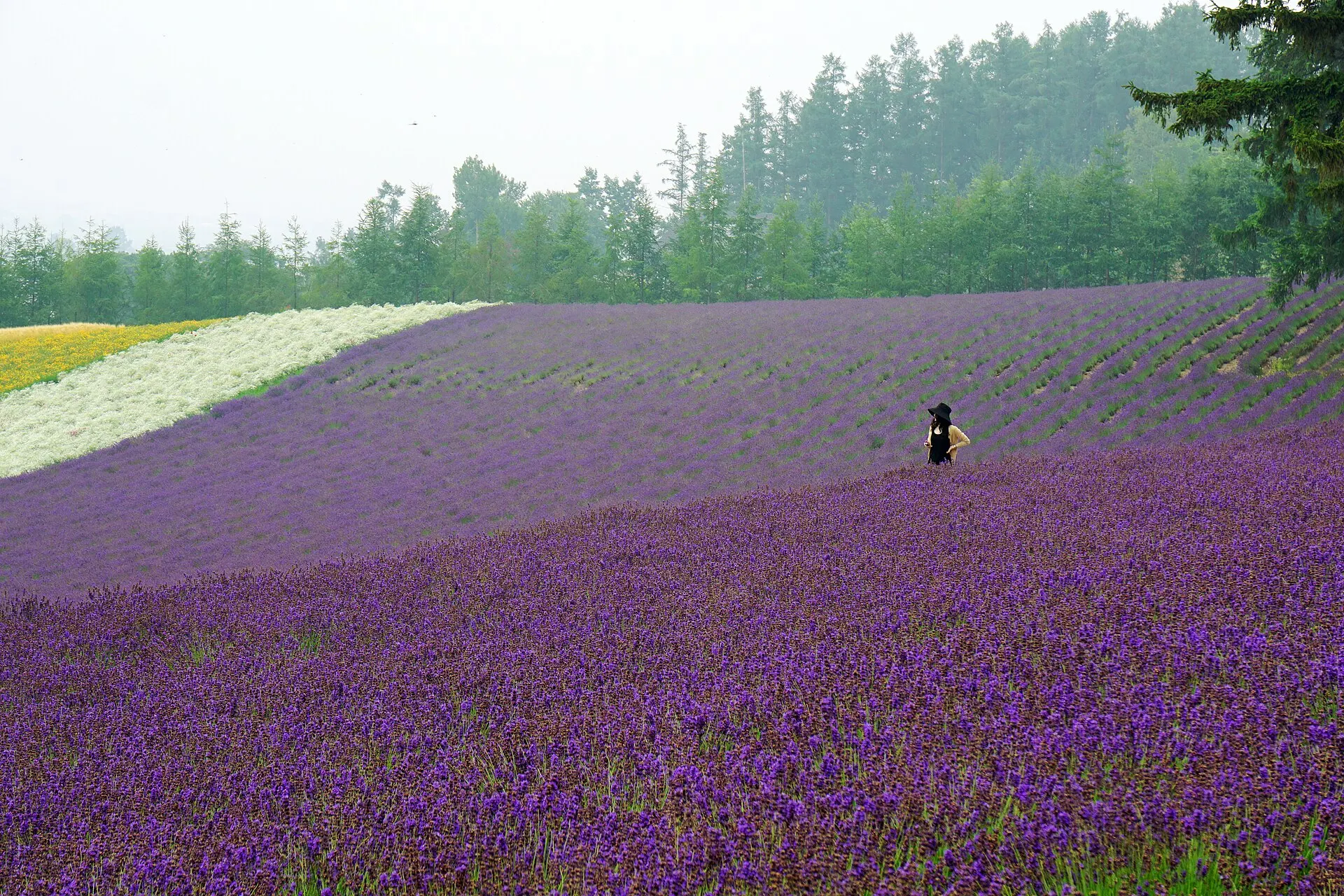
Furano
FURANO
About 21 km (straight-line distance)
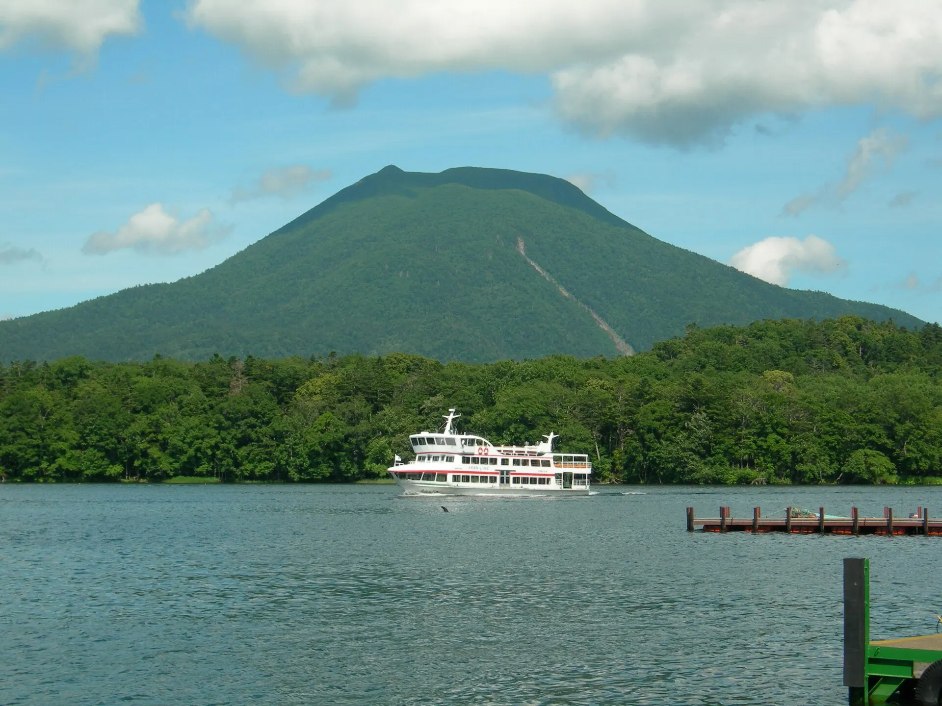
Lake Akan
AKAN
About 132 km (straight-line distance)
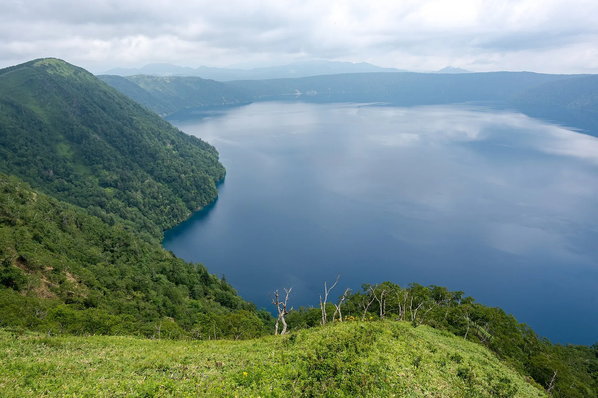
Lake Mashu
MASHU
About 165 km (straight-line distance)
08RelatedSimilar landscapes
If you love this landscape.
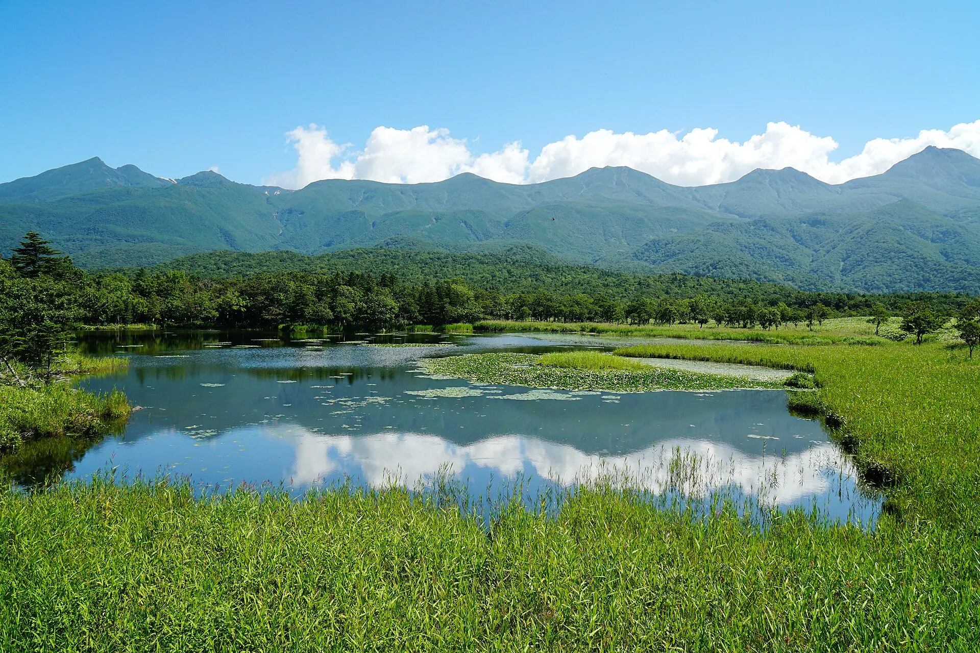
SHIRETOKO
Shiretoko
Hokkaido
A peninsula where sea, forest and mountains remain unbroken.
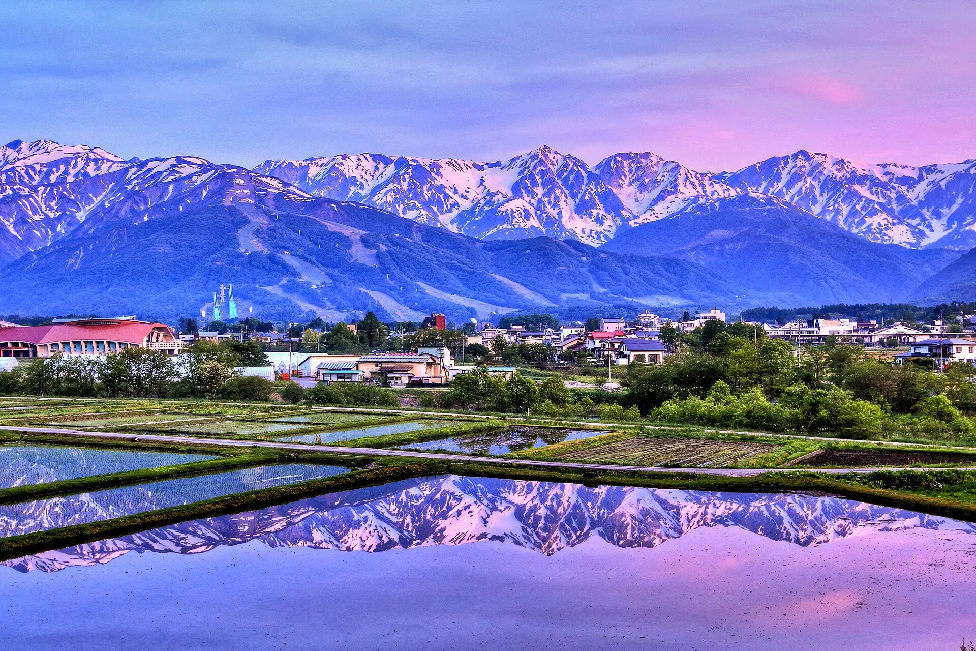
HAKUBA
HakubaNagano · Koshinetsu
Hakuba Village, Nagano Prefecture. A mountain resort of farmland and villages set against the three Hakuba peaks, including Mount Shirouma at 2,932 m. A base for skiing in winter, and for climbing and the highlands in summer.
Mountains / Snowscapes / Highlands
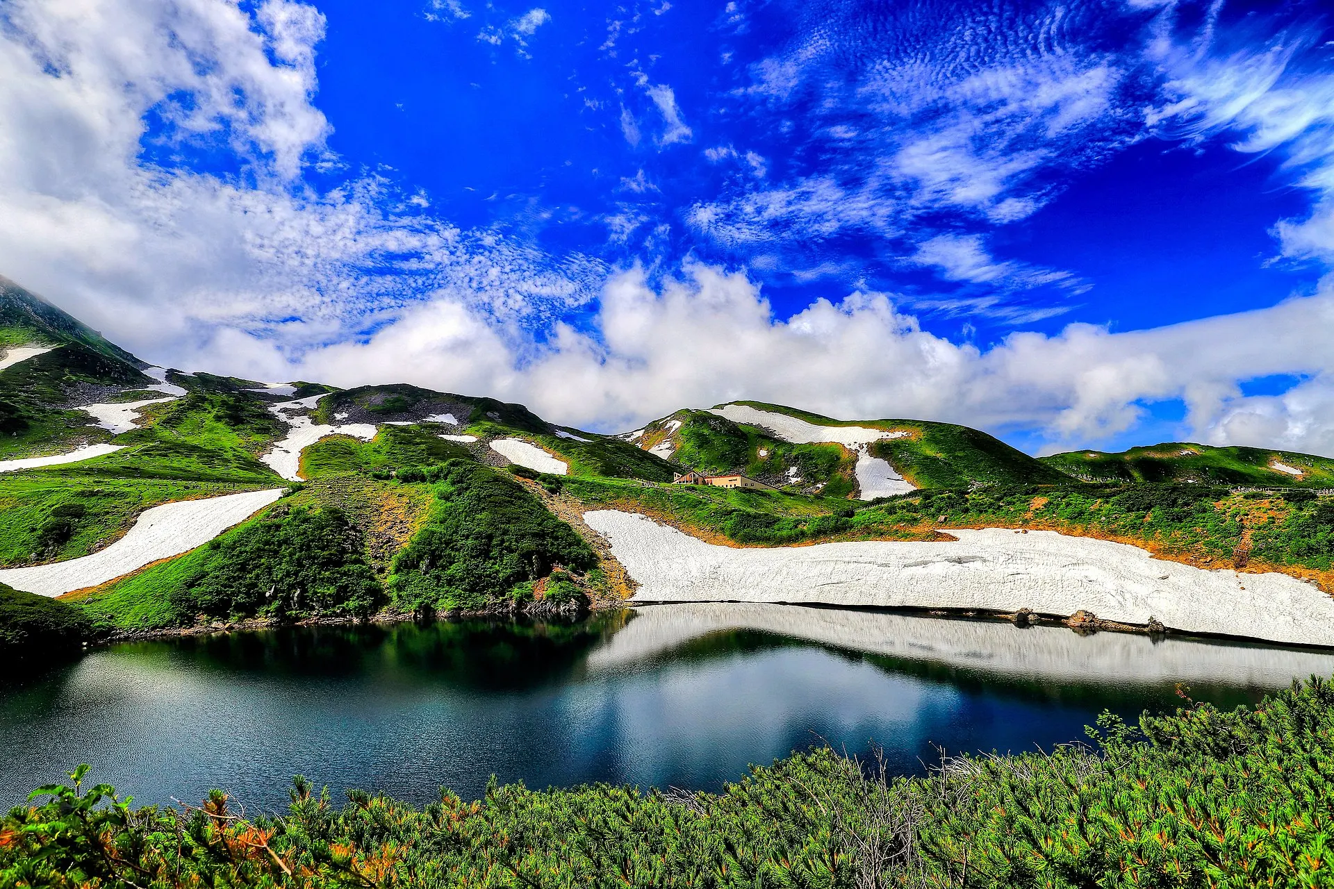
TATEYAMA
Tateyama & MurodoToyama · Hokuriku
Tateyama Town, Toyama Prefecture. At Murodo-daira, the heart of the Tateyama Kurobe Alpine Route at 2,450 m, the crater lake Mikurigaike holds blue water. Snow walls of Yuki-no-Otani in spring, alpine flowers in summer, autumn leaves in autumn.
Mountains / Lakes / Snowscapes
10Photo CreditsPhoto credits
| Photo | Title / Photographer | Source | Licence |
|---|---|---|---|
| Blue Pond (9613987798)Syuzo Tsushima from Akita, Japan | Wikimedia Commons ↗ | CC BY 2.0 |
| The Hidaka mountains view from Biei - panoramiou7shin | Wikimedia Commons ↗ | CC BY-SA 3.0 |
 | Shirogane-Blue-Pond summerMaedaAkihiko | Wikimedia Commons ↗ | CC BY-SA 4.0 |
 | Blue Pond 6 (234335961)Tomoki Nagahira | Wikimedia Commons ↗ | CC BY 3.0 |
 | Biei.Seidai-Dam-Park01RJD | Wikimedia Commons ↗ | CC BY 3.0 |
 | Biei colorful crop fields, Hokkaido; July 2017 (01)雷太 | Wikimedia Commons ↗ | CC BY 2.0 |