Hokkaido, Japan
ShiretokoSHIRETOKO
A peninsula where sea, forest and mountains remain unbroken.
44°08'N 145°05'E
01IntroductionIntroduction
A peninsula where sea, forest and mountains remain unbroken.
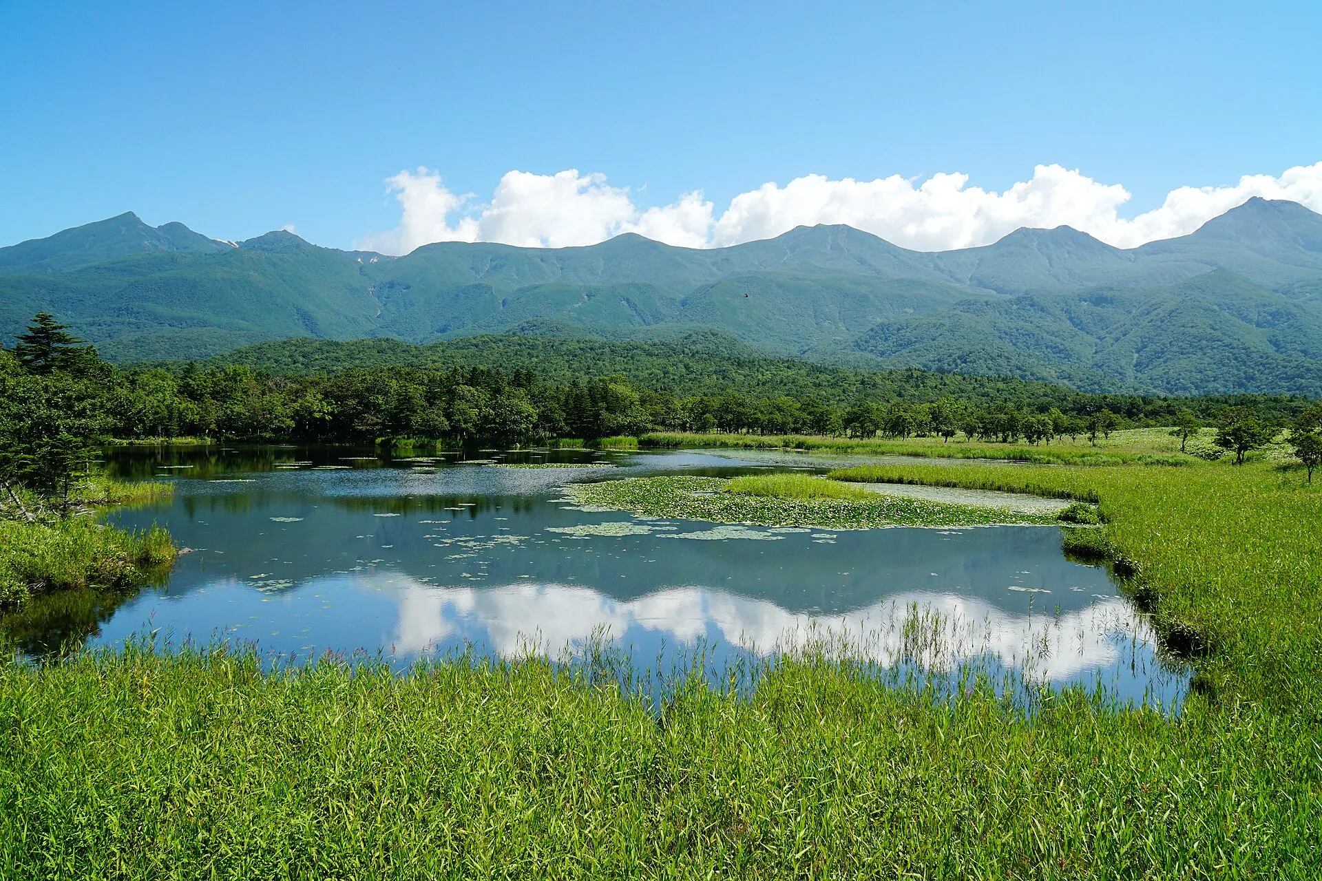
The Shiretoko Peninsula at the eastern tip of Hokkaido. Recognised for an ecosystem in which nutrients carried by drift ice link the sea to the forests and mountains, it was inscribed as a World Natural Heritage site in 2005. The Shiretoko Five Lakes, sheer coastal cliffs and pristine nature home to brown bears and deer remain.
02Key InformationKey information
Key information about Shiretoko
Only information confirmed in the sources (listed at the bottom of the page) is shown. Please check the latest official information before your visit.
- PrefecturePrefecture
- Hokkaido
- RegionRegion
- Hokkaido
- MunicipalityMunicipality
- Shari Town, Rausu Town
- ElevationElevation
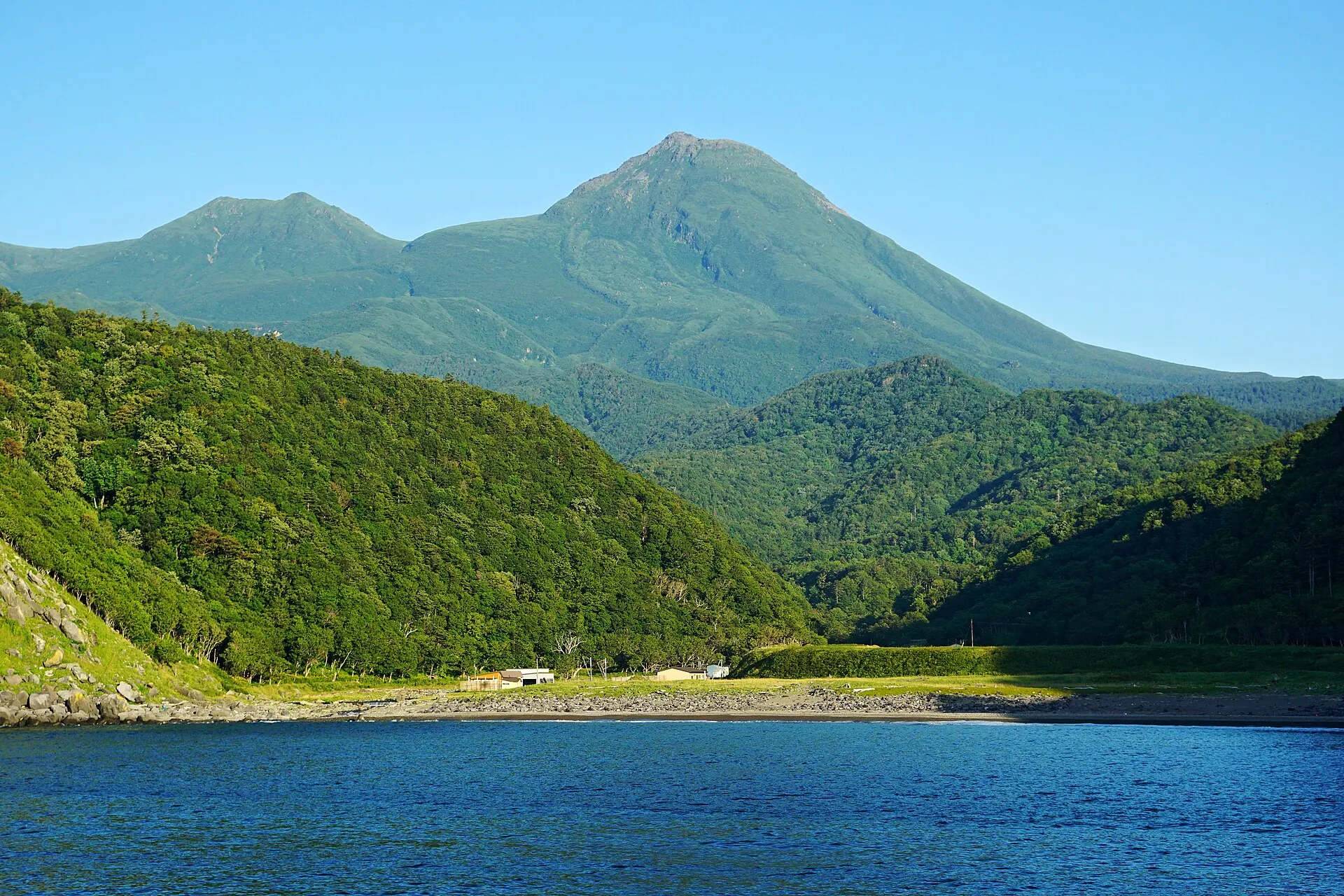
- Summit of Mount Rausu 1,660 m
- Protected areasProtection
- Shiretoko National Park
- World Natural Heritage "Shiretoko" (2005)
- LocationCoordinates
- 44°08'N 145°05'E
Shiretoko — Hokkaido
Photo: 663highland / Wikimedia Commons / CC BY 2.5
03StoryStory
The Story of
Shiretoko
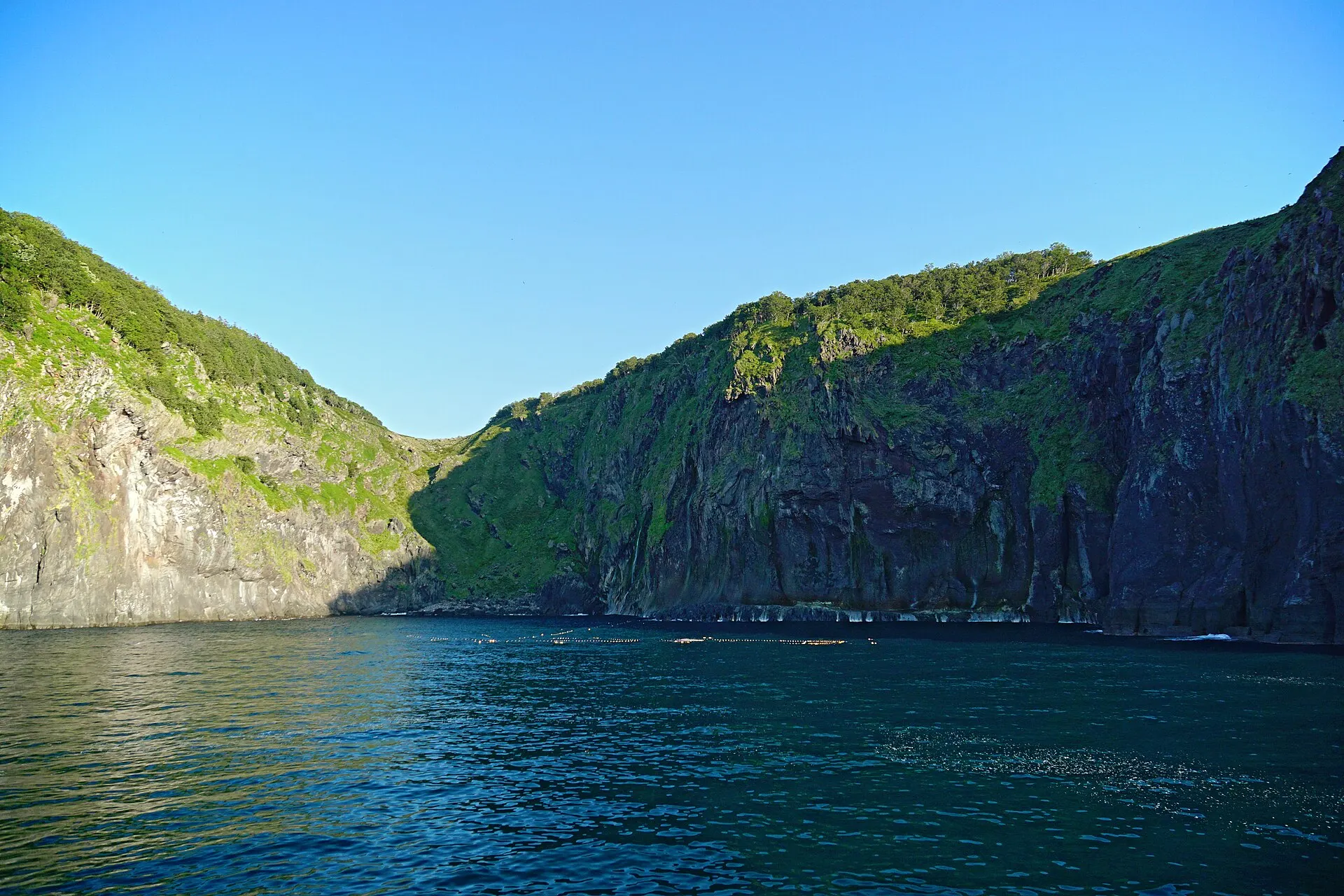
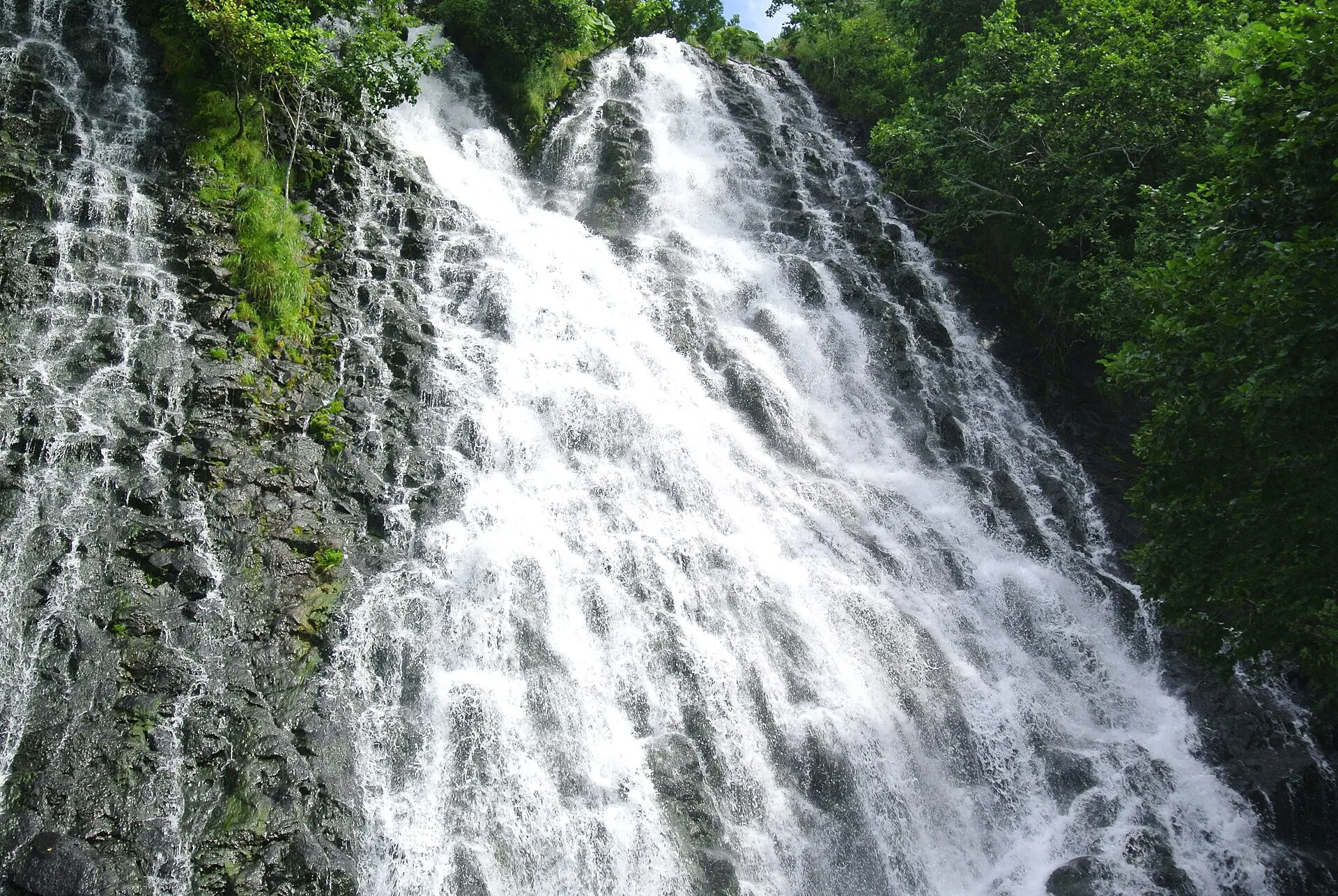
There are no roads to the tip of the Shiretoko Peninsula. The coast drops in sheer cliffs into the Sea of Okhotsk, and waterfalls pour straight into the sea.
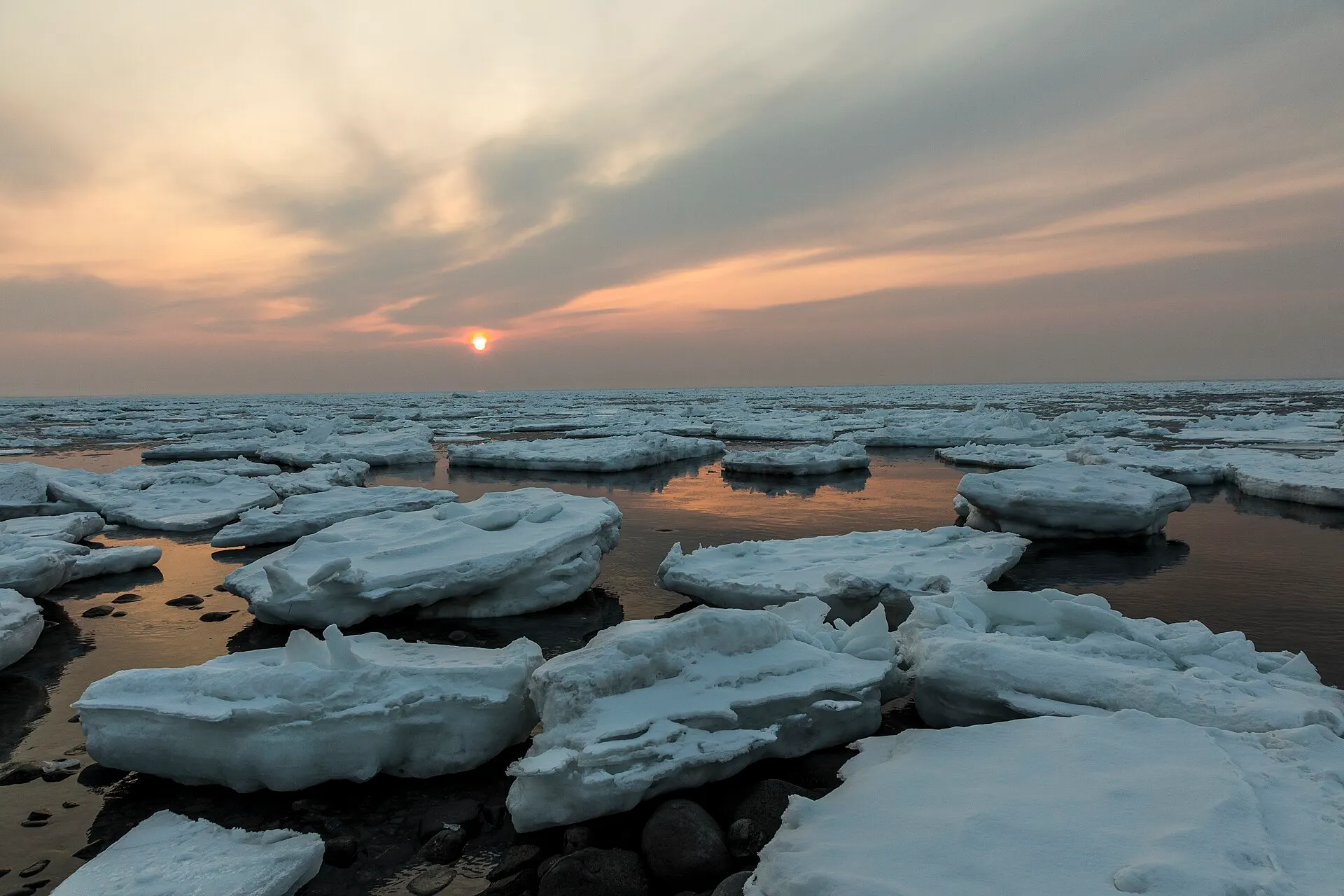
In winter, drift ice fills the Sea of Okhotsk. The nutrients it brings nourish marine life, and life is passed on to the birds and animals that feed on it, and to the forest. That chain is why Shiretoko was chosen as a World Natural Heritage site.
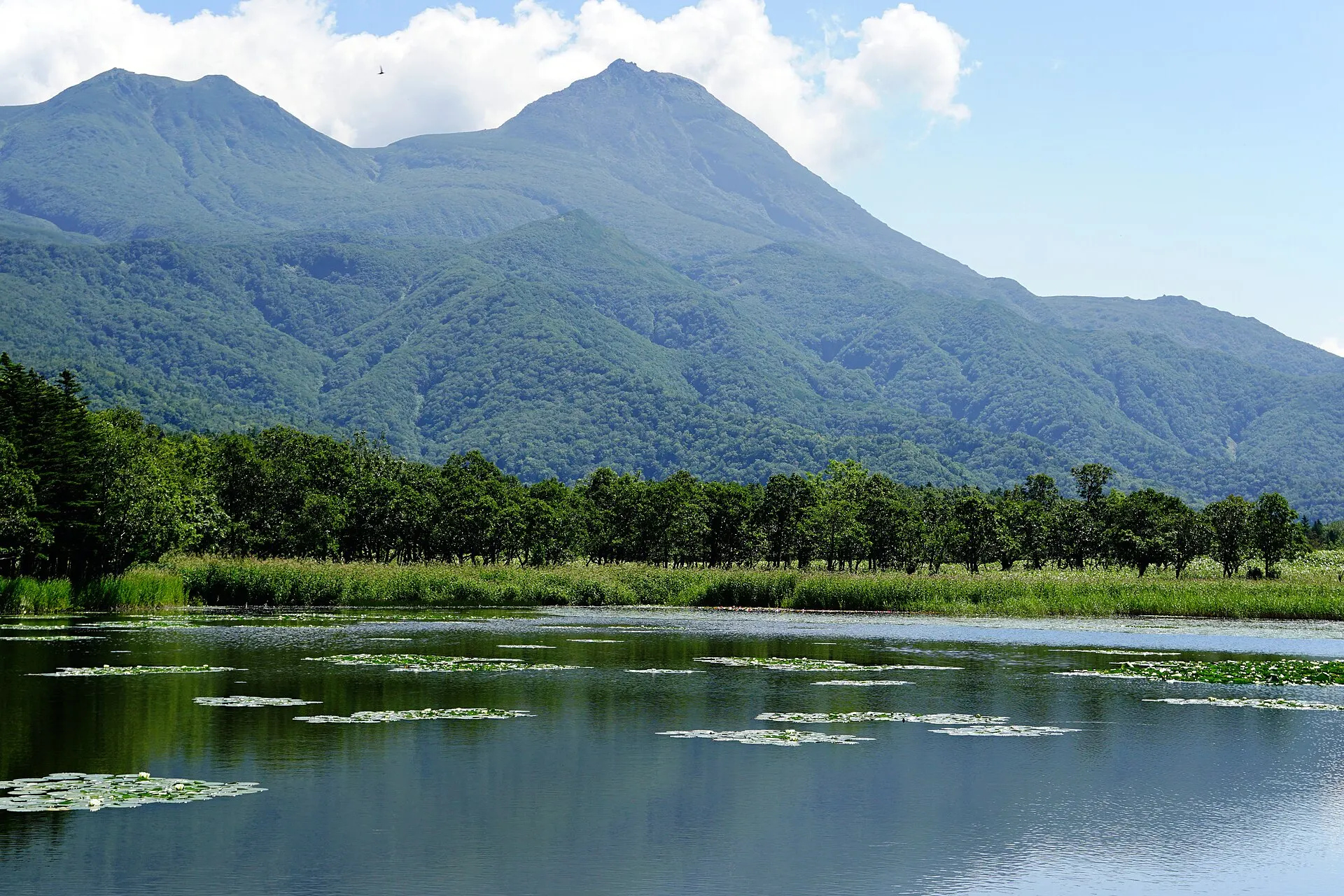
At the Shiretoko Five Lakes, the Shiretoko mountain range, including Mount Rausu, is reflected in lakes within the primeval forest. From the elevated boardwalk, the view can be enjoyed in any season.
04GalleryGallery
Photographs of Shiretoko
5 photographs
—FilmTravel through film
Shiretoko on film
知床国立公園の旅|広大な自然の中で生きる野生動物と人との共生
Source: 環境省 日本の国立公園 / Watch on YouTube ↗
The films shown here are published on YouTube by official channels such as the Ministry of the Environment, local governments and tourism associations, and are presented using YouTube's embed feature. Copyright remains with each publisher. No connection is made to YouTube until you press play.
05SeasonsThrough the seasons
The four seasons of Shiretoko
SpringSpring
The drift ice departs, and with the thaw the animals begin to stir.
Recommended
SummerSummer
The season for walks around the Shiretoko Five Lakes and cruises viewing the cliff coastline from the sea.
Recommended
AutumnAutumn
Salmon swim upriver, and the forest changes colour.
Recommended
WinterWinter
The Sea of Okhotsk is covered in drift ice. The defining image of a Shiretoko winter.
Recommended
06LocationLocation
44°08'N 145°05'E
Hokkaido, Shari Town, Rausu Town (Hokkaido)
An interactive map is in preparation. For now, the location is shown among all destinations.
07NearbyNearby scenic spots
Another landscape, close by.
Lake Mashu
MASHU
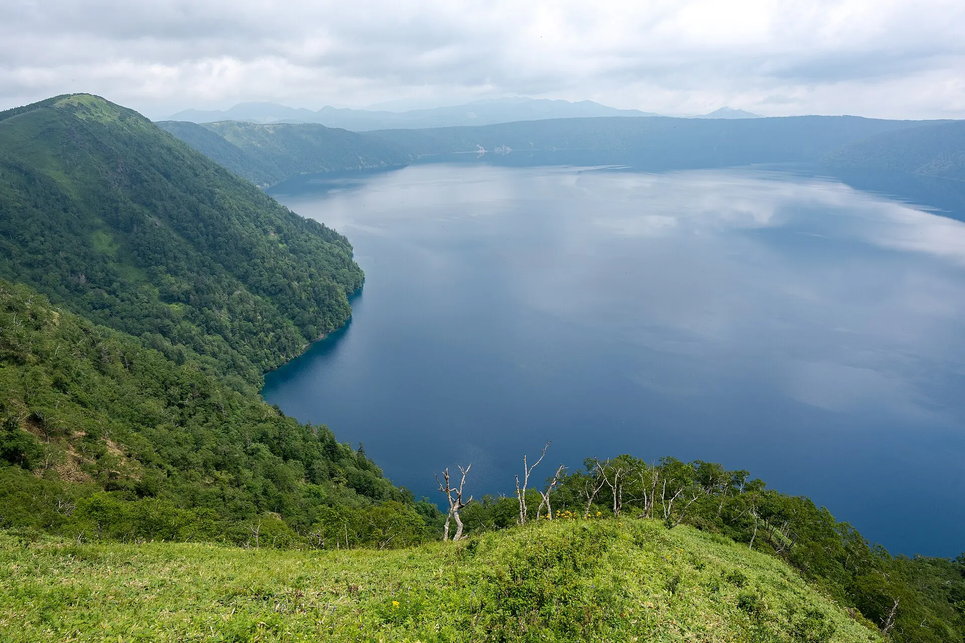
About 75 km (straight-line distance)
Lake Akan
AKAN
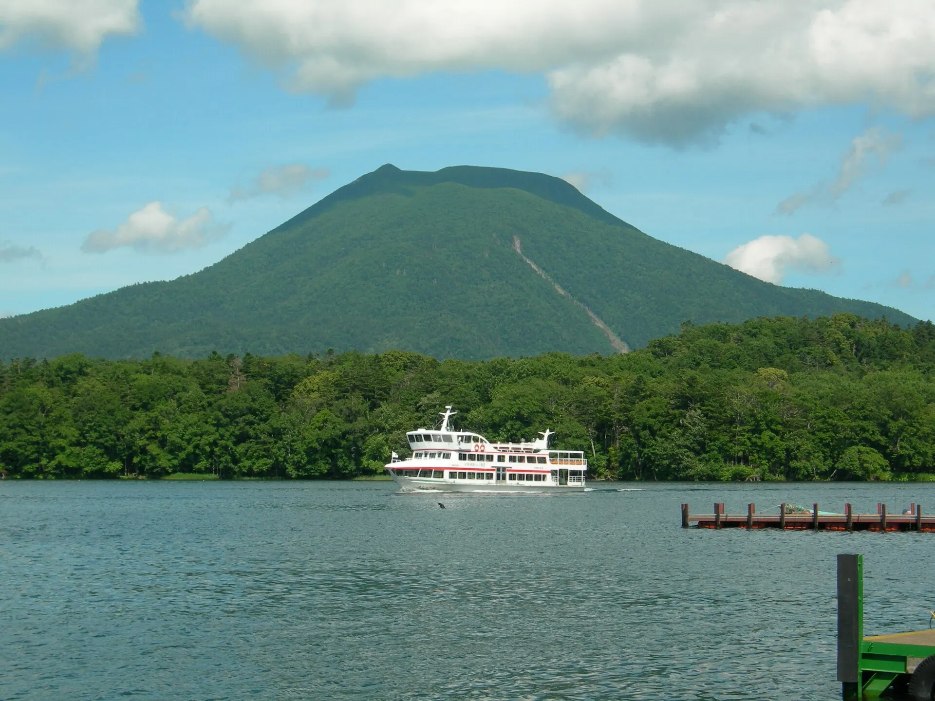
About 109 km (straight-line distance)
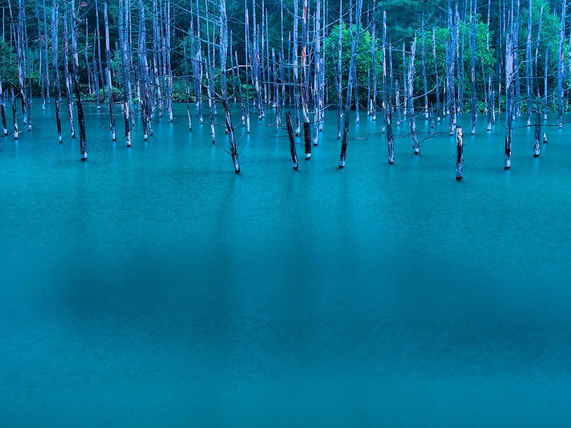
Biei
BIEI
About 218 km (straight-line distance)
08RelatedSimilar landscapes
If you love this landscape.
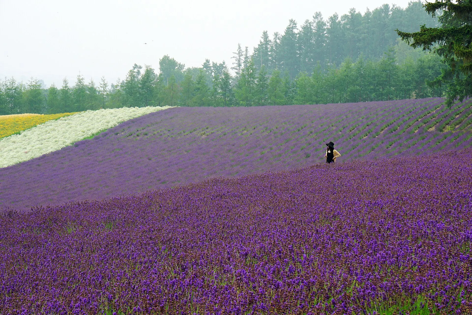
FURANO
Furano
Hokkaido
Summer lavender colouring the hills.
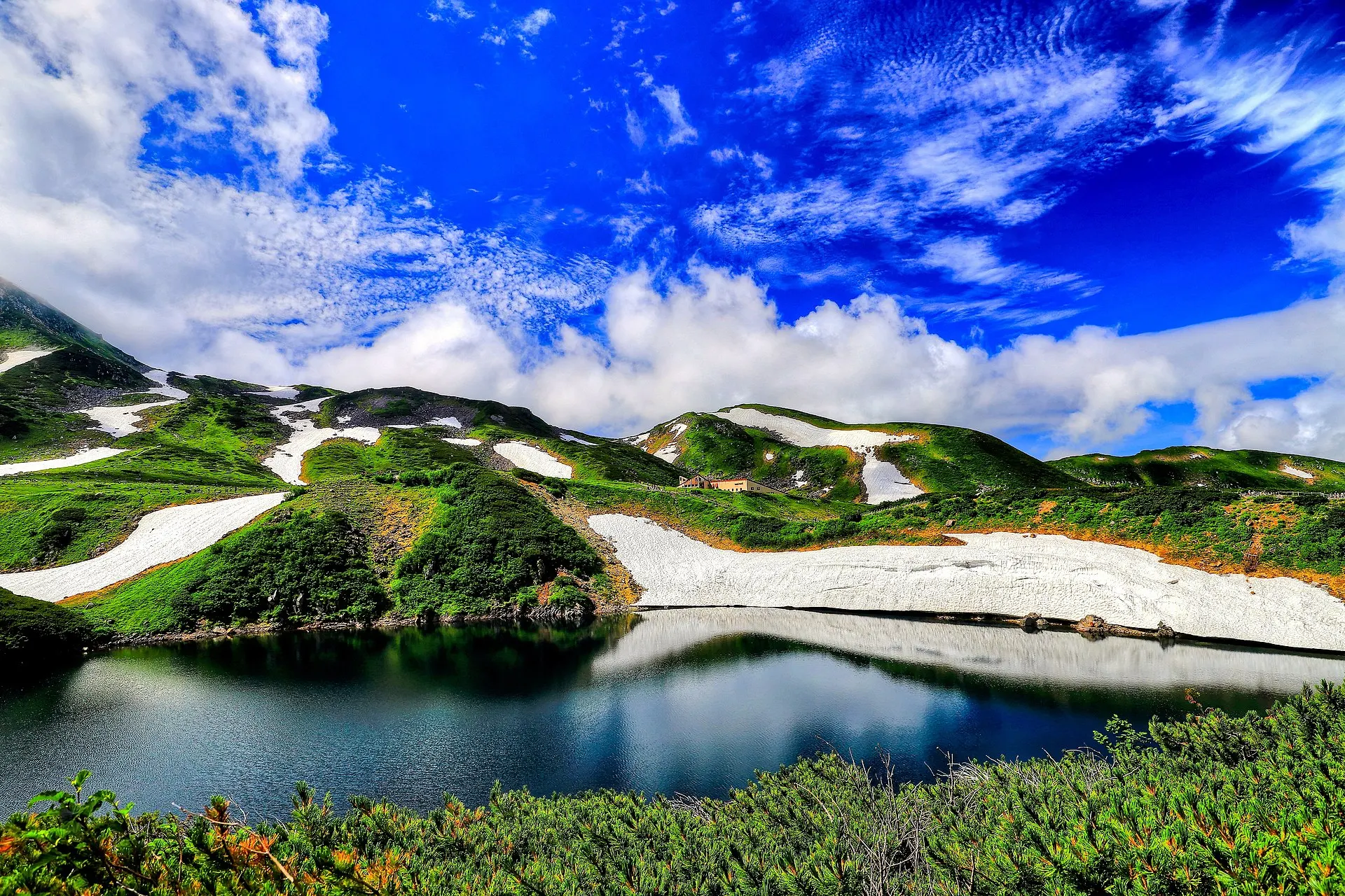
TATEYAMA
Tateyama & MurodoToyama · Hokuriku
Tateyama Town, Toyama Prefecture. At Murodo-daira, the heart of the Tateyama Kurobe Alpine Route at 2,450 m, the crater lake Mikurigaike holds blue water. Snow walls of Yuki-no-Otani in spring, alpine flowers in summer, autumn leaves in autumn.
Mountains / Lakes / Snowscapes
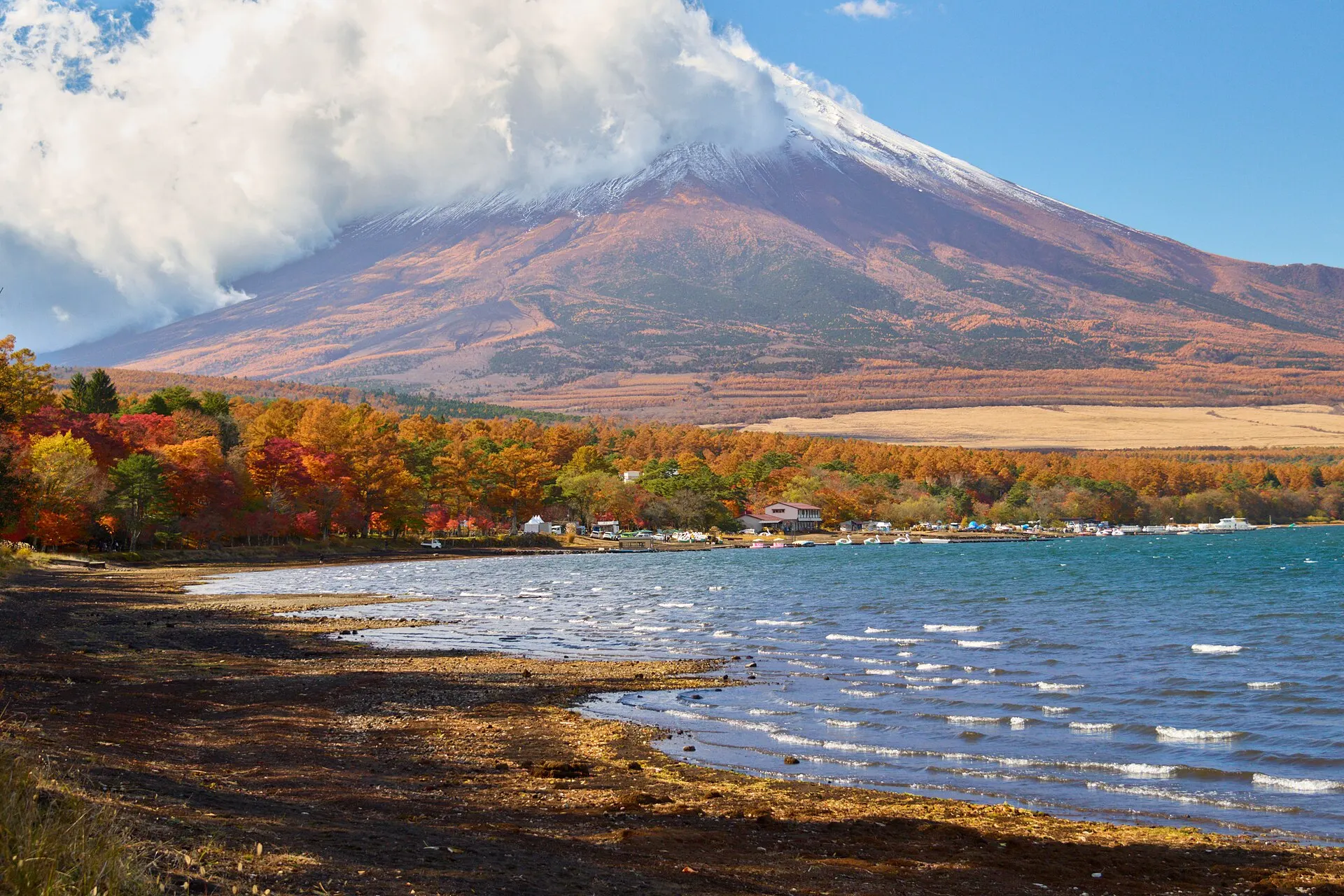
FUJI GOKO
Fuji Five LakesYamanashi · Koshinetsu
Yamanashi Prefecture. The collective name for Lake Yamanaka, Lake Kawaguchi, Lake Sai, Lake Shoji and Lake Motosu, lined up along the northern foot of Mount Fuji. Each lake offers a view of Mount Fuji from a different angle, and they are included among the component parts of the World Cultural Heritage site "Fujisan".
Lakes / Mountains / National parks
09SourcesSources
Sources
- Wikipedia「知床」Wikipedia
- Wikipedia「知床五湖」Wikipedia
- 環境省 知床国立公園環境省
- UNESCO World Heritage Centre — ShiretokoUNESCO
- Wikidata Q714555(羅臼岳)Wikidata
10Photo CreditsPhoto credits
| Photo | Title / Photographer | Source | Licence |
|---|---|---|---|
| 140829 Ichiko of Shiretoko Goko Lakes Hokkaido Japan01s5663highland | Wikimedia Commons ↗ | CC BY 2.5 |
| 140828 Mount Rausu Shiretoko Hokkaido Japan01s3663highland | Wikimedia Commons ↗ | CC BY 2.5 |
 | 140828 Otoko-no-namida Shiretoko Peninsula Hokkaido Japan01s5663highland | Wikimedia Commons ↗ | CC BY-SA 4.0 |
 | Hokkaido-Drift Ice-xlkkawamura | Wikimedia Commons ↗ | CC BY 4.0 |
 | 140829 Ichiko of Shiretoko Goko Lakes Hokkaido Japan04s3663highland | Wikimedia Commons ↗ | CC BY 2.5 |
 | Oshinkoshin Falls 20140811Suicasmo | Wikimedia Commons ↗ | CC BY-SA 4.0 |
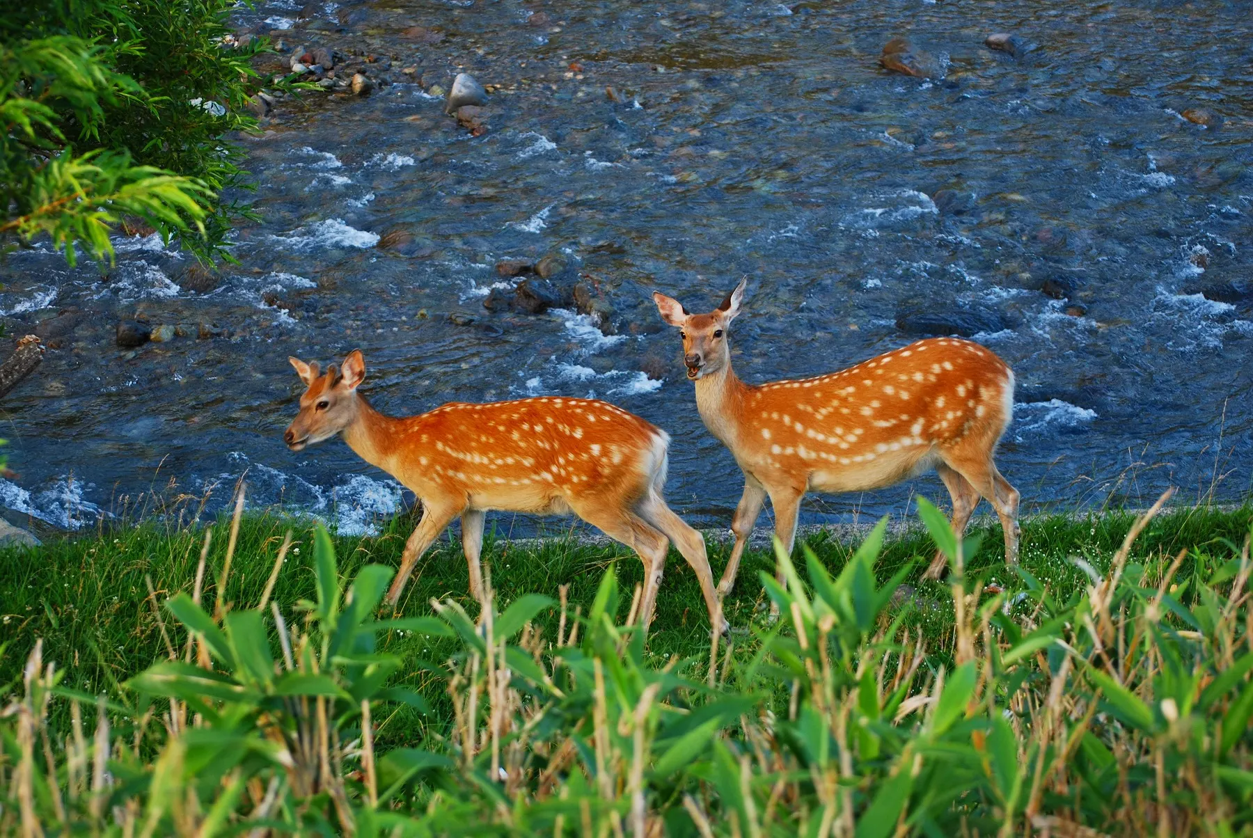 | Ezoshika01Captain76 | Wikimedia Commons ↗ | Public domain |