Toyama, Japan
Tateyama & MurodoTATEYAMA
At 2,450 m, a volcanic pond opens above the clouds.
36°35'N 137°36'E
01IntroductionIntroduction
At 2,450 m, a volcanic pond opens above the clouds.
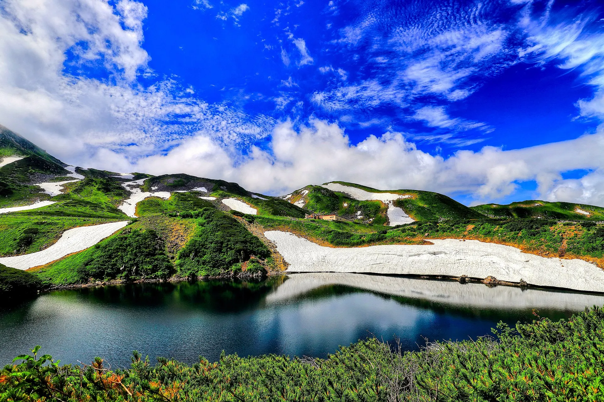
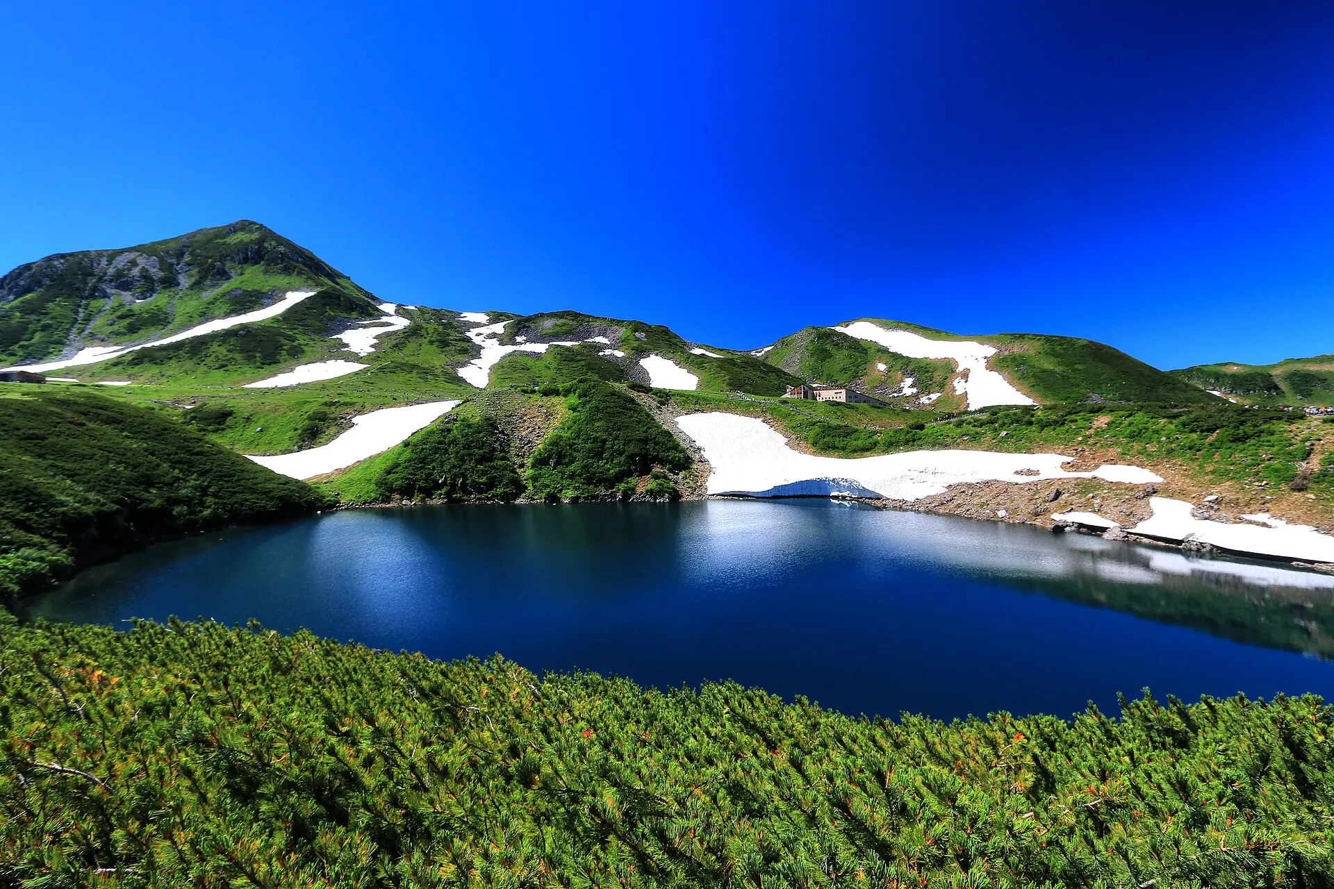
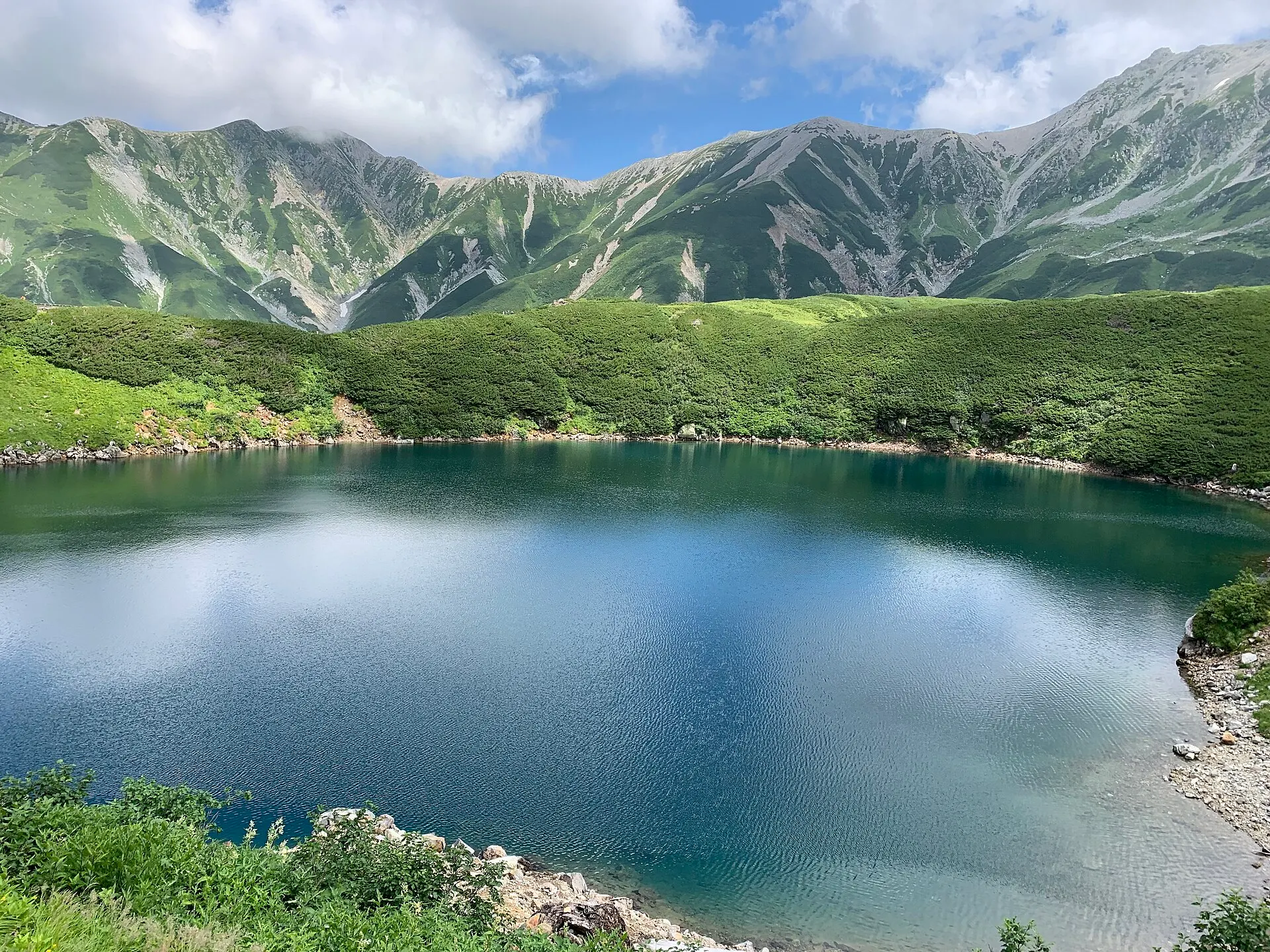
Tateyama Town, Toyama Prefecture. At Murodo-daira, the heart of the Tateyama Kurobe Alpine Route at 2,450 m, the crater lake Mikurigaike holds blue water. Snow walls of Yuki-no-Otani in spring, alpine flowers in summer, autumn leaves in autumn.
02Key InformationKey information
Key information about Tateyama & Murodo
Only information confirmed in the sources (listed at the bottom of the page) is shown. Please check the latest official information before your visit.
- PrefecturePrefecture
- Toyama
- RegionRegion
- Hokuriku
- MunicipalityMunicipality
- Tateyama Town
- CategoryScenery
- MountainsLakesSnowscapesNational parks
- ElevationElevation
- Murodo-daira, about 2,450 m
- Access overviewAccess
- Tateyama Kurobe Alpine Route (from Tateyama Station on the Toyama side, or Ogizawa Station on the Nagano side). Usually operates from mid-April to November.
- Protected areasProtection
- Chubu-Sangaku National Park
- LocationCoordinates
- 36°35'N 137°36'E
Tateyama & Murodo — Toyama
Photo: くろふね / Wikimedia Commons / CC BY 3.0
03StoryStory
The Story of
Tateyama & Murodo
Change from cable car to highland bus, and climb straight to 2,450 m. The moment you step off the bus, the cold air and the strength of the light tell you this is another world.
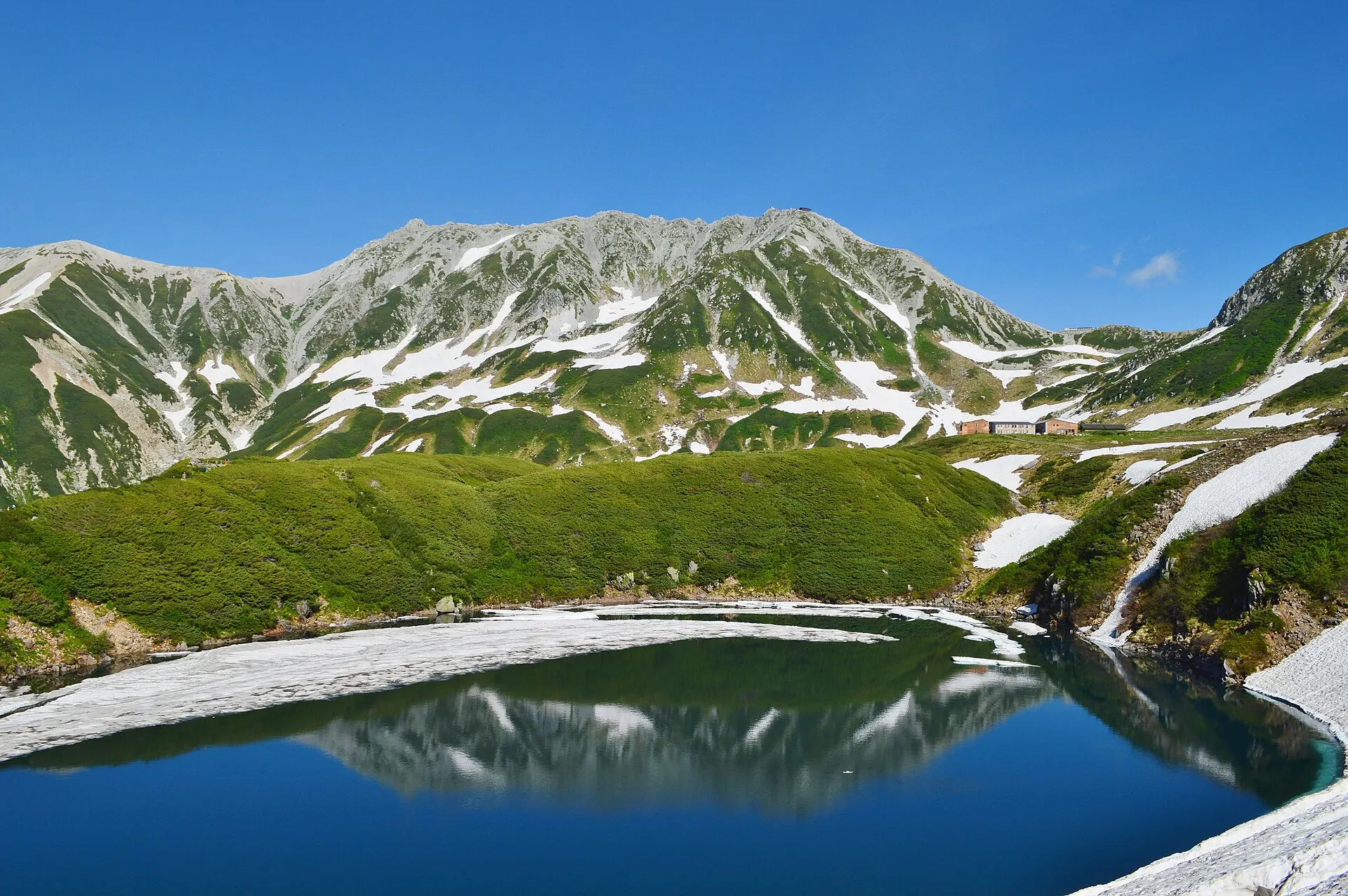
Mikurigaike on Murodo-daira is a crater lake formed by volcanic activity. On clear days, the peaks of Tateyama are reflected in its deep blue water.
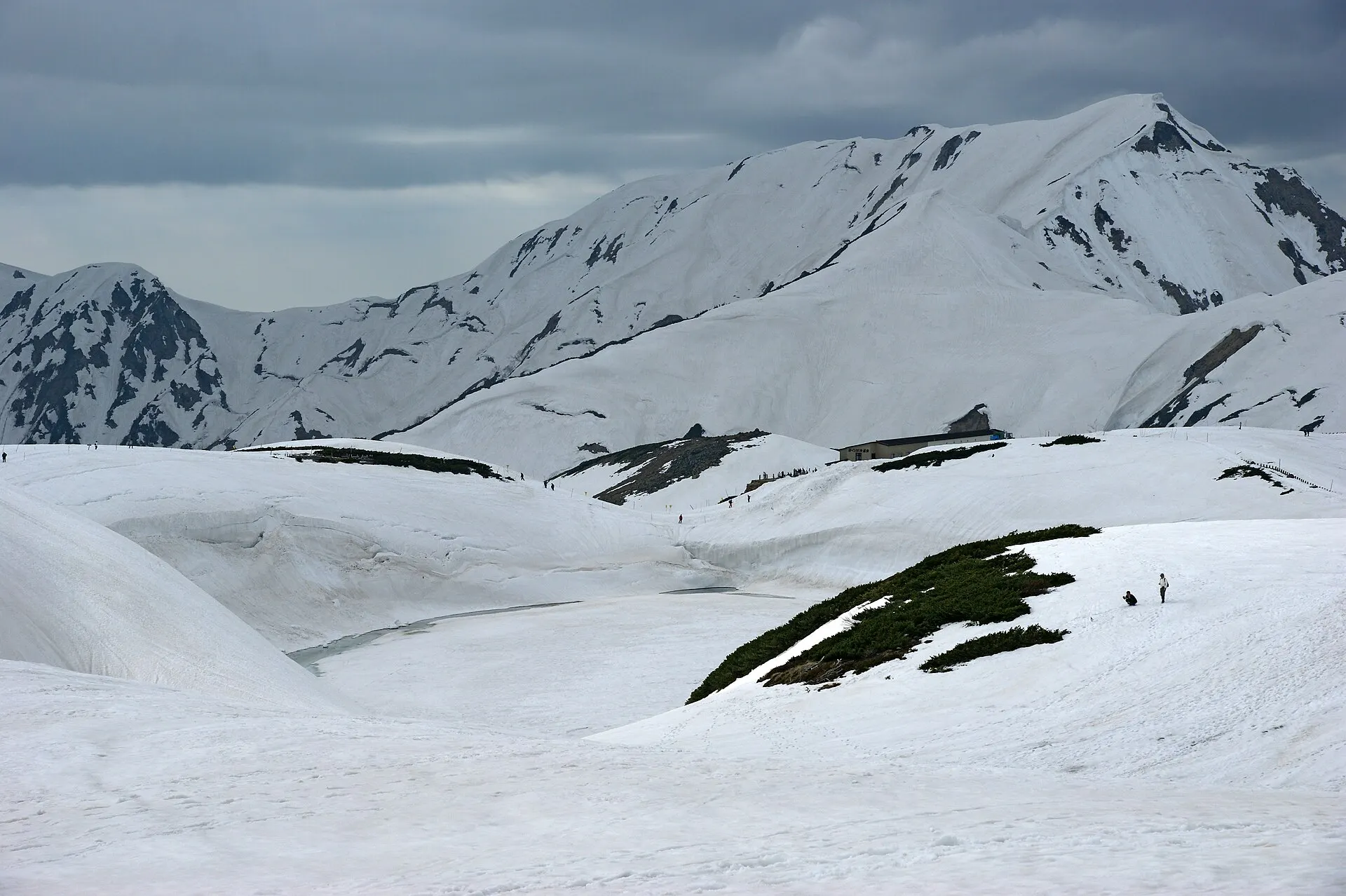
Just after the route opens in spring, walls of snow tower on both sides of the cleared road: this is Yuki-no-Otani.
04GalleryGallery
Photographs of Tateyama & Murodo
4 photographs
—FilmTravel through film
Tateyama & Murodo on film
(TKAR2501)立山黒部アルペンルートプロモーションビデオ
Source: 【公式】立山黒部アルペンルート / Watch on YouTube ↗
立山黒部アルペンルート 秋
Source: 富山県公式チャンネル / Watch on YouTube ↗
The films shown here are published on YouTube by official channels such as the Ministry of the Environment, local governments and tourism associations, and are presented using YouTube's embed feature. Copyright remains with each publisher. No connection is made to YouTube until you press play.
05SeasonsThrough the seasons
The four seasons of Tateyama & Murodo
SpringSpring
After the Alpine Route opens, you can walk between the snow walls of Yuki-no-Otani.
Recommended
SummerSummer
As the snow melts, alpine flowers bloom and Mikurigaike regains its deep blue.
Recommended
AutumnAutumn
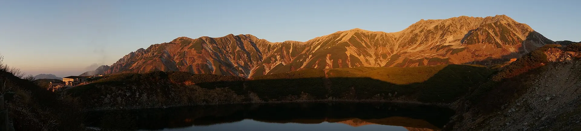
Autumn colours begin in the alpine zone. After a short autumn, the first snow comes early.
Recommended
WinterWinter
The Alpine Route is closed in winter.
06LocationLocation
36°35'N 137°36'E
Toyama, Tateyama Town (Hokuriku)
An interactive map is in preparation. For now, the location is shown among all destinations.
07NearbyNearby scenic spots
Another landscape, close by.
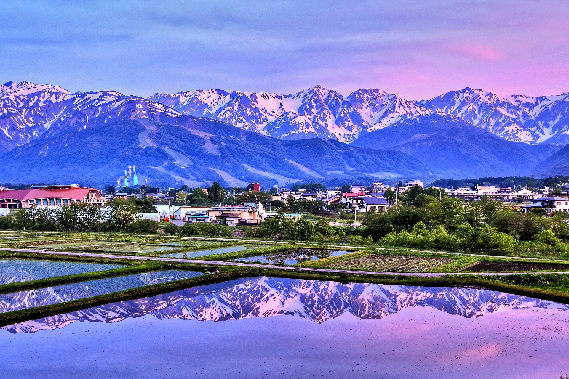
Hakuba
HAKUBA
About 27 km (straight-line distance)
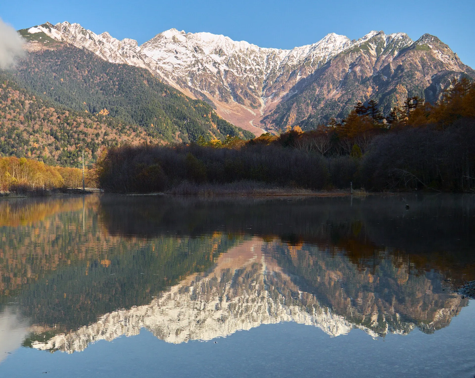
Kamikochi
KAMIKOCHI
About 37 km (straight-line distance)
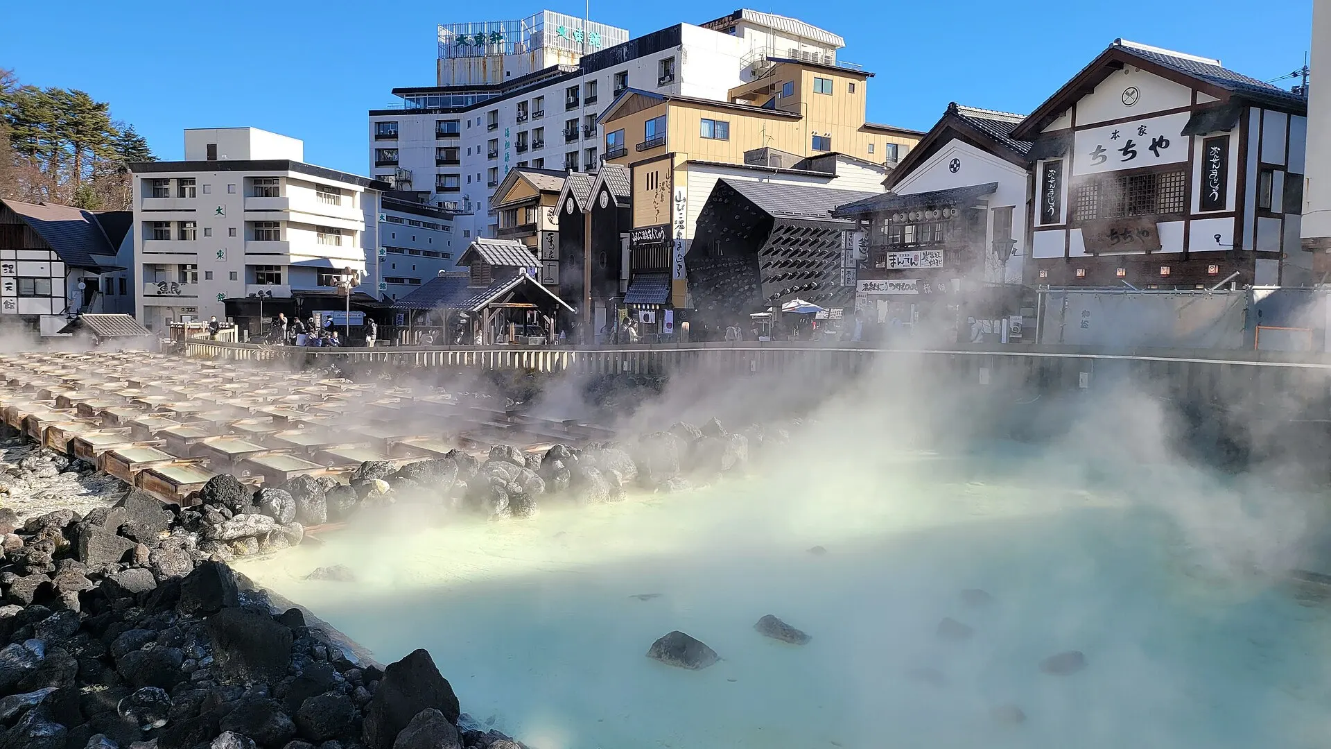
Kusatsu Onsen
KUSATSU
About 89 km (straight-line distance)
08RelatedSimilar landscapes
If you love this landscape.
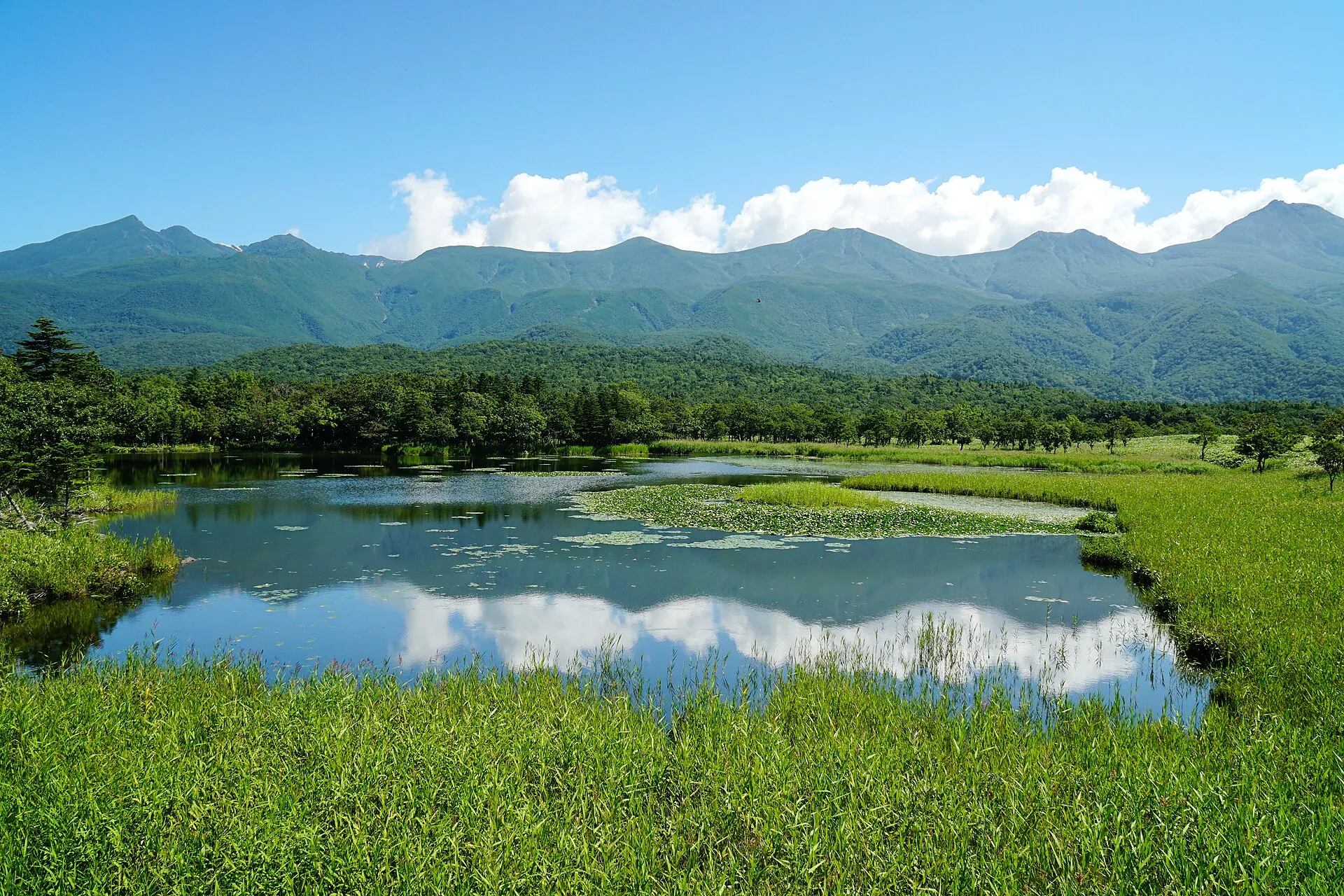
SHIRETOKO
Shiretoko
Hokkaido
A peninsula where sea, forest and mountains remain unbroken.
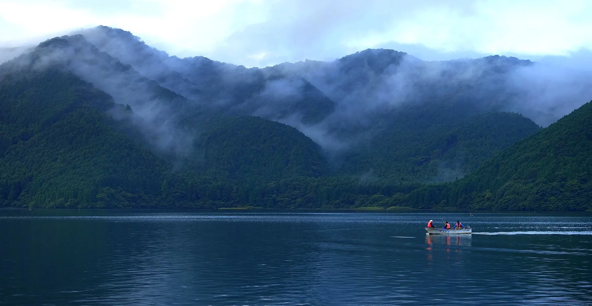
HAKONE
HakoneKanagawa · Kanto
Hakone Town, Kanagawa Prefecture. The closest mountain resort to the Tokyo area, gathering Lake Ashi and Owakudani, both shaped by volcanoes, and numerous hot springs. Part of Fuji-Hakone-Izu National Park.
Lakes / Hot spring towns / Mountains
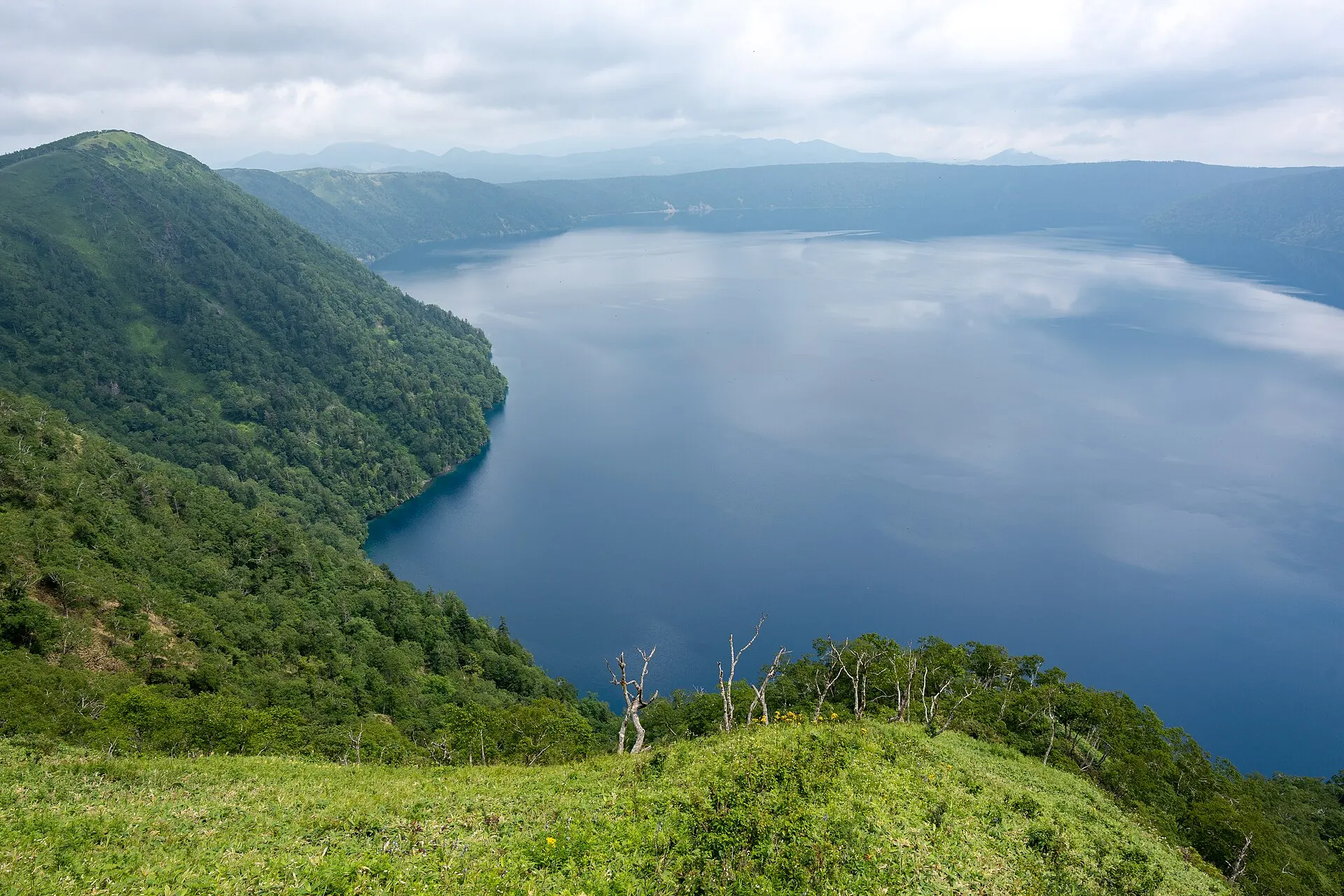
MASHU
Lake MashuHokkaido · Hokkaido
Teshikaga Town, Hokkaido. A lake enclosed by steep caldera walls, with no rivers flowing in or out. Known for its deep blue surface, Kamuishu Island floating in the lake, and frequent fog.
Lakes / Snowscapes / National parks
09SourcesSources
Sources
- Wikipedia「立山」Wikipedia
- Wikipedia「室堂」Wikipedia
- Wikipedia「ミクリガ池」Wikipedia
- Wikipedia「立山黒部アルペンルート」Wikipedia
- 環境省 中部山岳国立公園環境省
10Photo CreditsPhoto credits
| Photo | Title / Photographer | Source | Licence |
|---|---|---|---|
| みくりが池02くろふね | Wikimedia Commons ↗ | CC BY-SA 4.0 |
| ミクリガ池 - panoramio (4)くろふね | Wikimedia Commons ↗ | CC BY 3.0 |
 | Mikuriga-ike lakeOmou | Wikimedia Commons ↗ | CC BY-SA 4.0 |
 | Mikurigaike01bs4592663highland | Wikimedia Commons ↗ | CC BY 2.5 |
 | Tateyama etc 11OCT2014 ToyamaKa23 13 | Wikimedia Commons ↗ | CC BY-SA 4.0 |
 | Mount Tate viewed from MikurigaikeSaigen Jiro | Wikimedia Commons ↗ | CC0 |