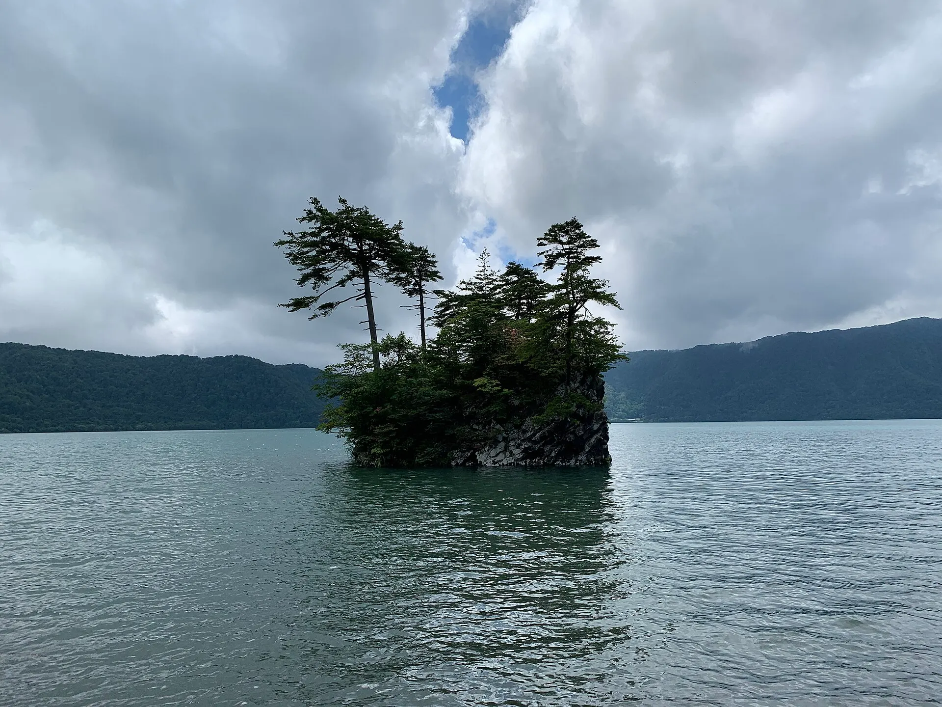
Aomori / Akita, Japan
Lake TowadaTOWADA
A deep caldera lake resting on the border of Aomori and Akita.
40°28'N 140°52'E
01IntroductionIntroduction
A deep caldera lake resting on the border of Aomori and Akita.
A caldera lake straddling Aomori and Akita prefectures. With a maximum depth of 326.8 m, it is deep, and its peninsulas and capes form an intricate shoreline. It is also the source of the Oirase Stream.
02Key InformationKey information
Key information about Lake Towada
Only information confirmed in the sources (listed at the bottom of the page) is shown. Please check the latest official information before your visit.
- PrefecturePrefecture
- Aomori / Akita
- RegionRegion
- Tohoku
- MunicipalityMunicipality
- Towada City, Kosaka Town
- CategoryScenery
- LakesForestsNational parks
- ElevationElevation
- Lake surface elevation 400 m
- Protected areasProtection
- Towada-Hachimantai National Park
- Special Place of Scenic Beauty and Natural Monument "Lake Towada and Oirase Stream"
- AreaData
- 61.10 km²
- Maximum depthData
- 326.8 m
- LocationCoordinates
- 40°28'N 140°52'E
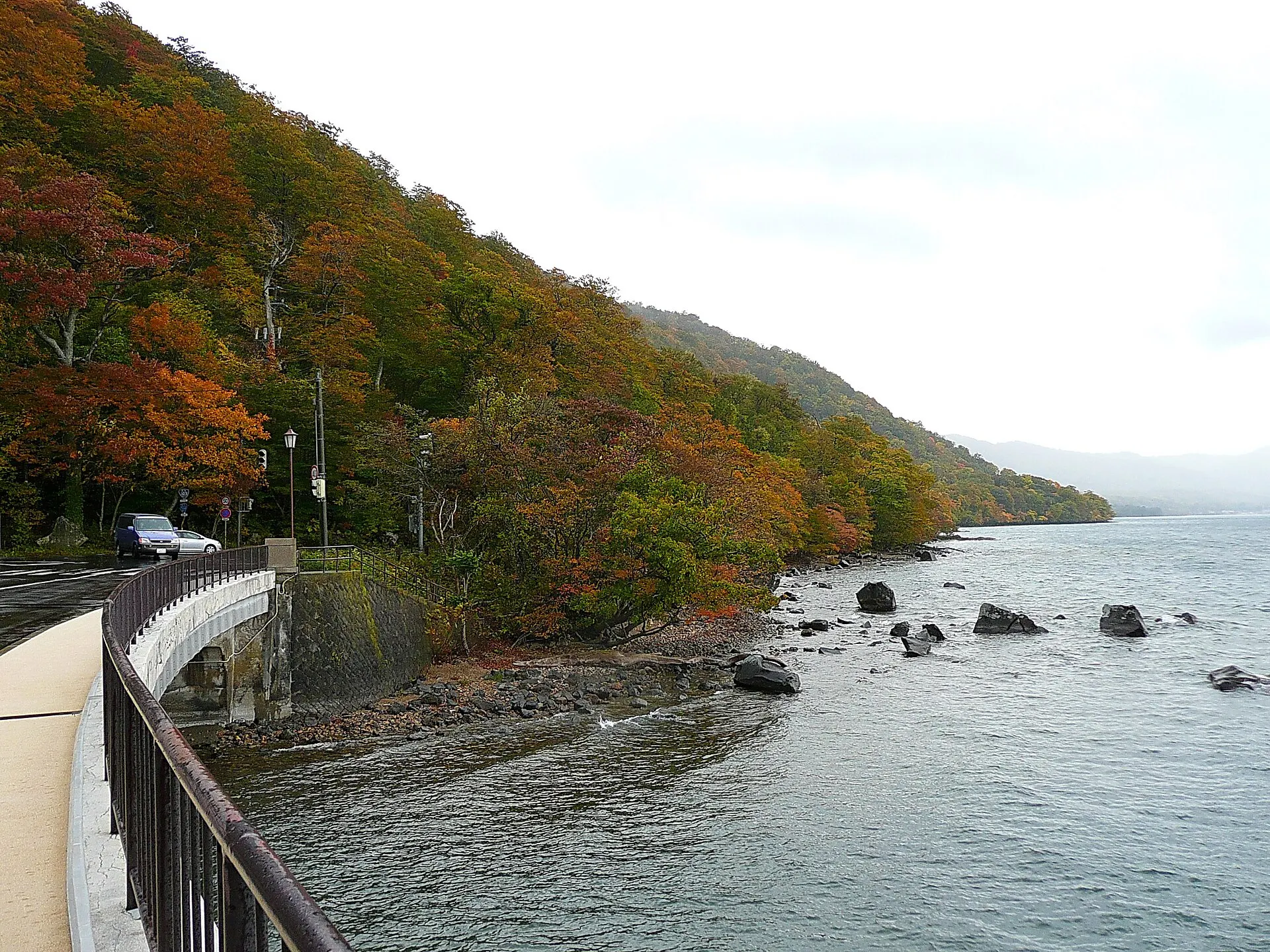
Lake Towada — Aomori / Akita
Photo: lienyuan lee / Wikimedia Commons / CC BY 3.0
03StoryStory
The Story of
Lake Towada
Lake Towada is a lake formed when water filled a caldera created by volcanic eruptions. Two peninsulas jutting out from the shore give the lake its complex shape.
The only river flowing out of the lake is the Oirase River. Its stream, beginning at Nenokuchi, is, alongside the lake, one of the signature landscapes of Towada-Hachimantai National Park.
04GalleryGallery
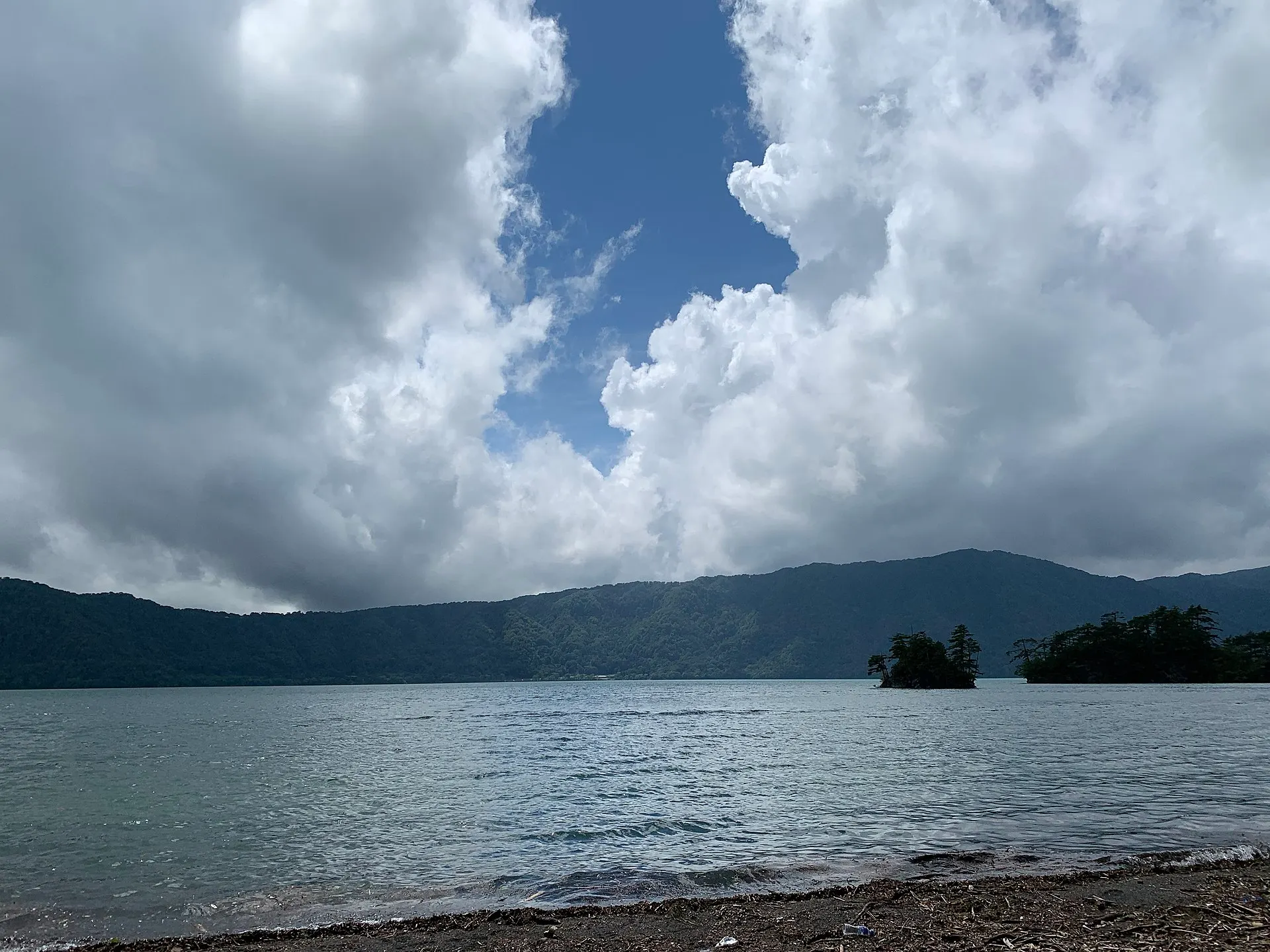
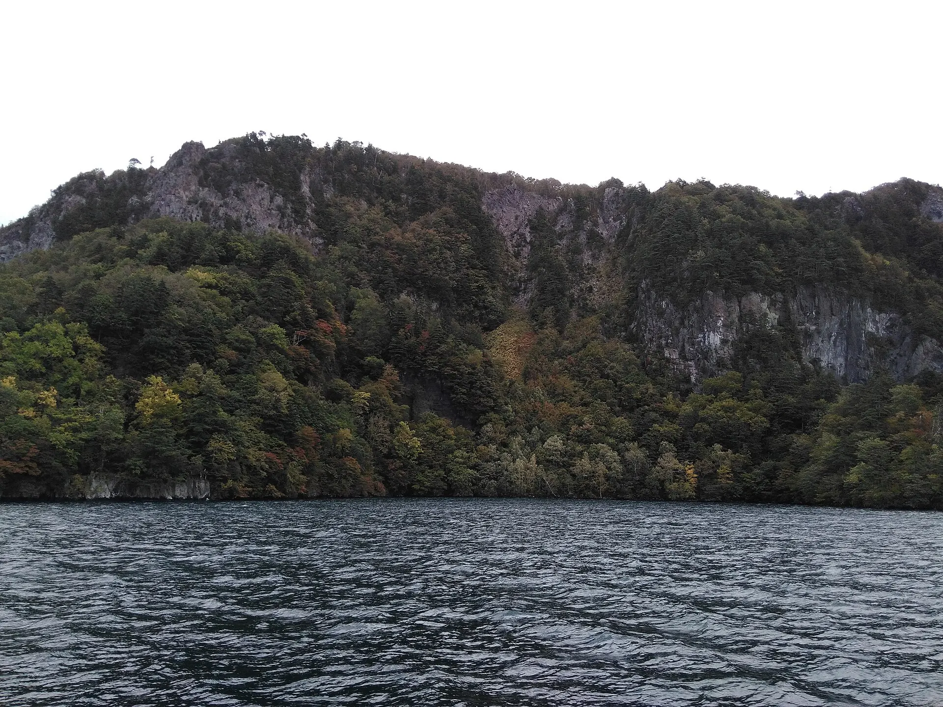
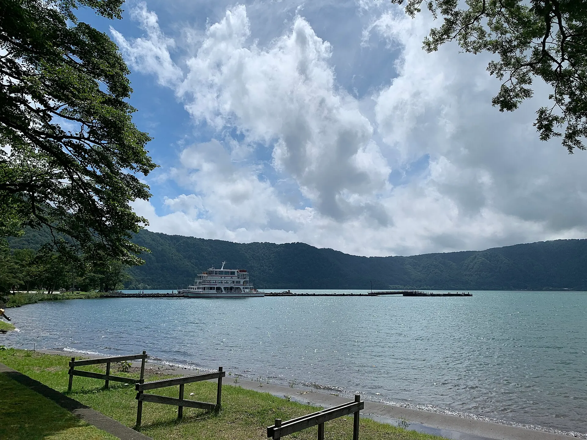
Photographs of Lake Towada
3 photographs
—FilmTravel through film
Lake Towada on film
【四季の絶景】十和田八幡平国立公園 | 温泉、紅葉、スノーモンスター(8K)
Source: 環境省 日本の国立公園 / Watch on YouTube ↗
The films shown here are published on YouTube by official channels such as the Ministry of the Environment, local governments and tourism associations, and are presented using YouTube's embed feature. Copyright remains with each publisher. No connection is made to YouTube until you press play.
05SeasonsThrough the seasons
The four seasons of Lake Towada
SpringSpring
The snow on the shore disappears, and fresh beech leaves bud.
Recommended
SummerSummer
Sightseeing boats crossing the lake, and deep green shores.
Recommended
AutumnAutumn
The mountains around the lake are dyed in autumn colours. The most splendid season.
Recommended
WinterWinter
A quiet lake shut in by snow.
Recommended
06LocationLocation
40°28'N 140°52'E
Aomori / Akita, Towada City, Kosaka Town (Tohoku)
An interactive map is in preparation. For now, the location is shown among all destinations.
07NearbyNearby scenic spots
Another landscape, close by.
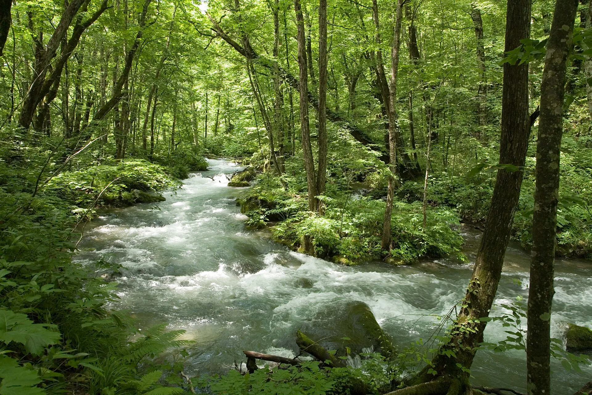
Oirase Stream
OIRASE
About 11 km (straight-line distance)
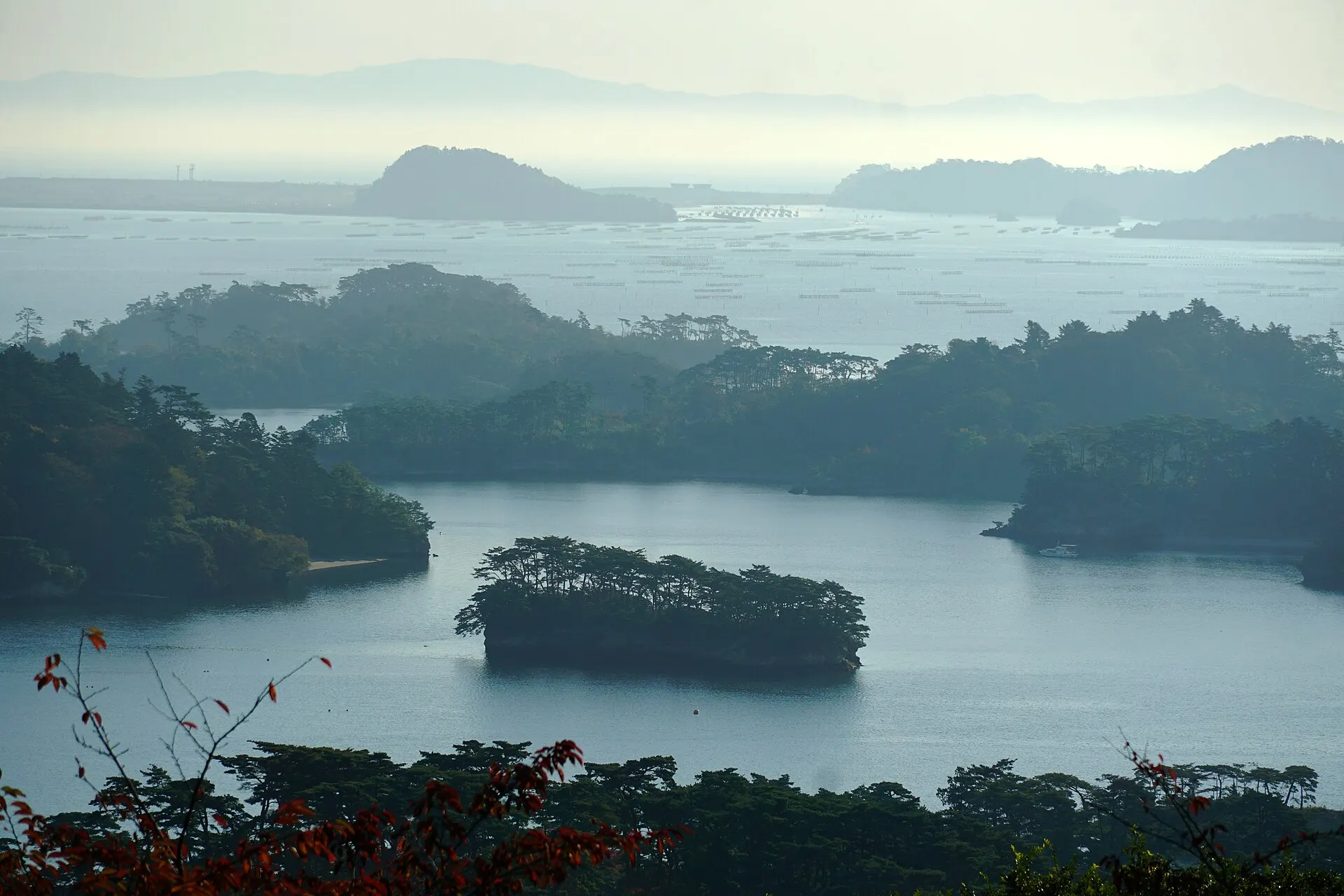
Matsushima
MATSUSHIMA
About 235 km (straight-line distance)
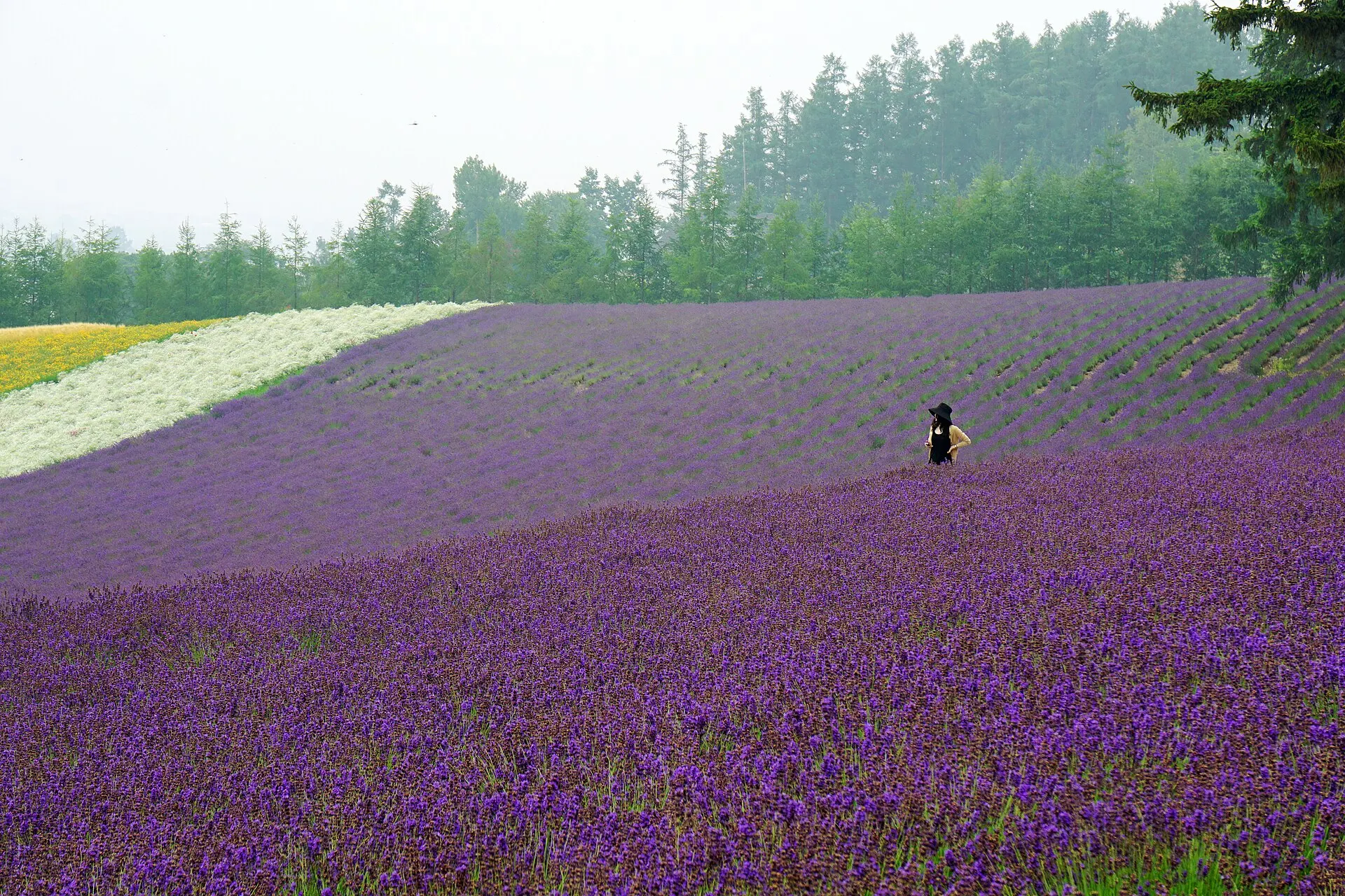
Furano
FURANO
About 351 km (straight-line distance)
08RelatedSimilar landscapes
If you love this landscape.
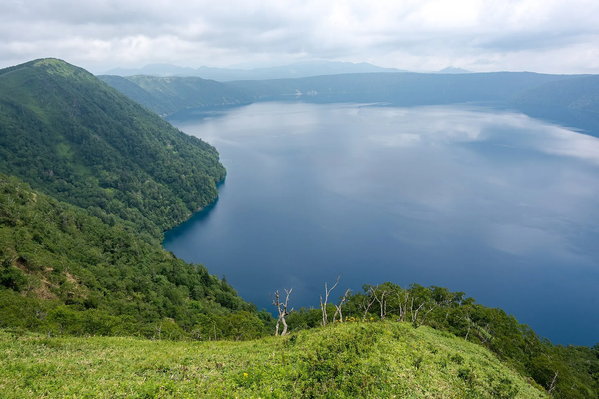
MASHU
Lake Mashu
Hokkaido
A lake with no river flowing in, and none flowing out.
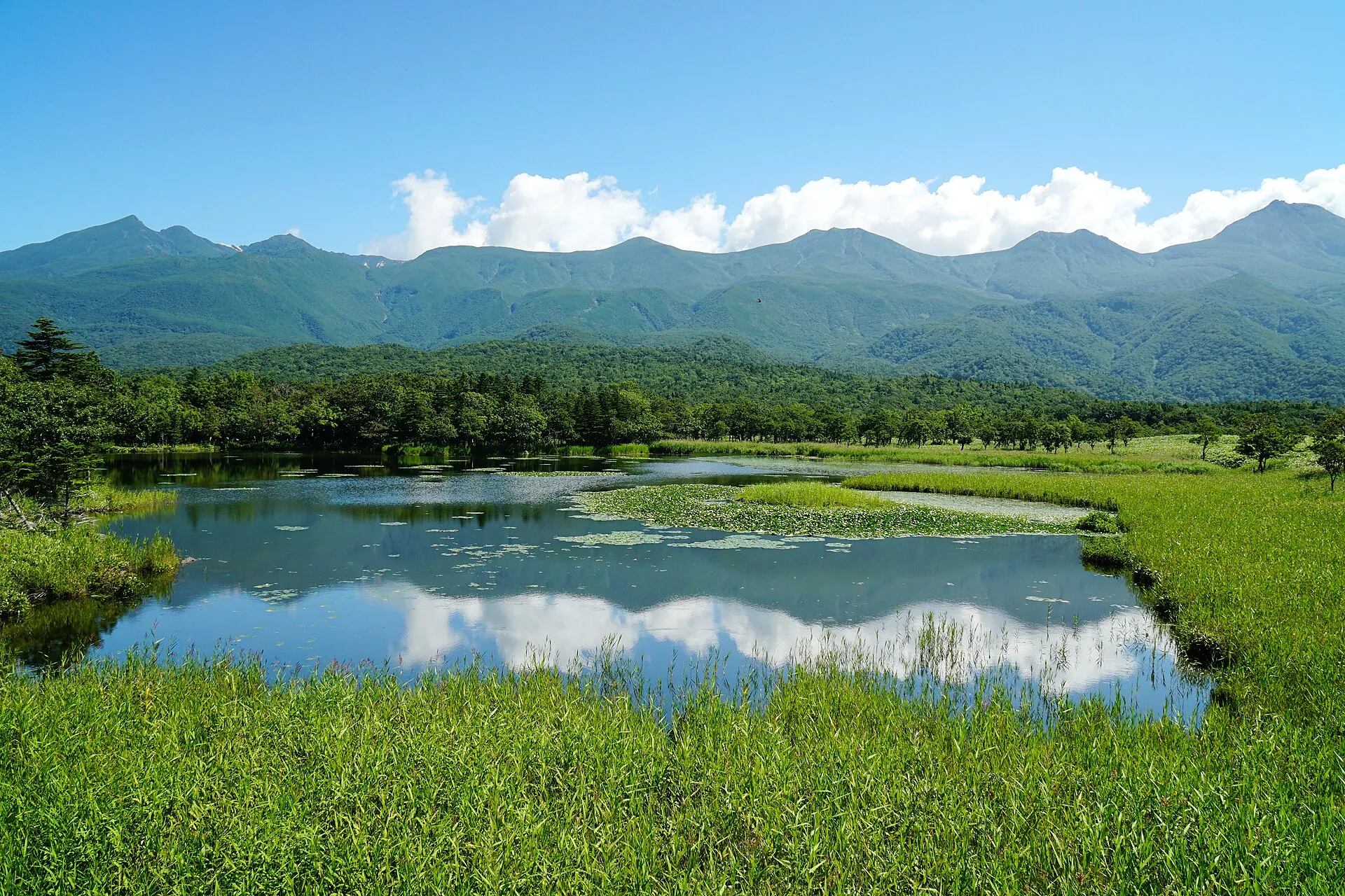
SHIRETOKO
ShiretokoHokkaido · Hokkaido
The Shiretoko Peninsula at the eastern tip of Hokkaido. Recognised for an ecosystem in which nutrients carried by drift ice link the sea to the forests and mountains, it was inscribed as a World Natural Heritage site in 2005. The Shiretoko Five Lakes, sheer coastal cliffs and pristine nature home to brown bears and deer remain.
Seas / Forests / Lakes
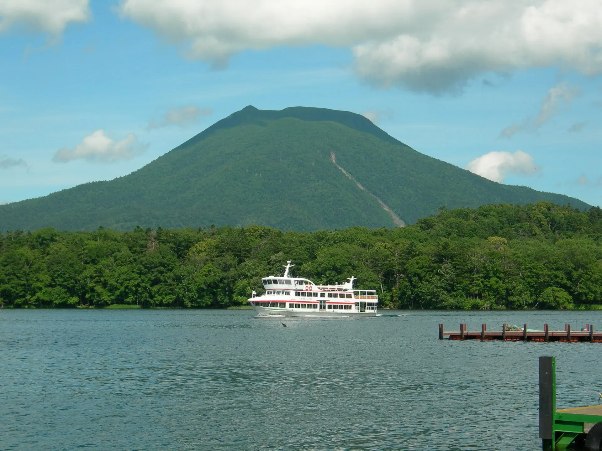
AKAN
Lake AkanHokkaido · Hokkaido
A caldera lake at the heart of Akan-Mashu National Park in Kushiro, Hokkaido. Akanko Onsen lies on its shore facing Mount Oakan, and the lake is known as home to marimo, a Special Natural Monument.
Lakes / Hot spring towns / Forests
10Photo CreditsPhoto credits
| Photo | Title / Photographer | Source | Licence |
|---|---|---|---|
| Lake towada 20220813122654 (52652498630)inunami | Wikimedia Commons ↗ | CC BY 2.0 |
| Lake Towada 十和田湖 - panoramiolienyuan lee | Wikimedia Commons ↗ | CC BY 3.0 |
 | Lake towada 20220813123720 (52652054621)inunami | Wikimedia Commons ↗ | CC BY 2.0 |
 | Lake Towada IMG 20161010 111654G41rn8 | Wikimedia Commons ↗ | CC BY-SA 4.0 |
 | Lake towada 20220813130052 (52651564952)inunami | Wikimedia Commons ↗ | CC BY 2.0 |