Hiroshima / Okayama / Kagawa / Ehime / Yamaguchi / Hyogo, Japan
Seto Inland SeaSETOUCHI
A calm inland sea of layered island silhouettes.
34°10'N 133°20'E
01IntroductionIntroduction
A calm inland sea of layered island silhouettes.
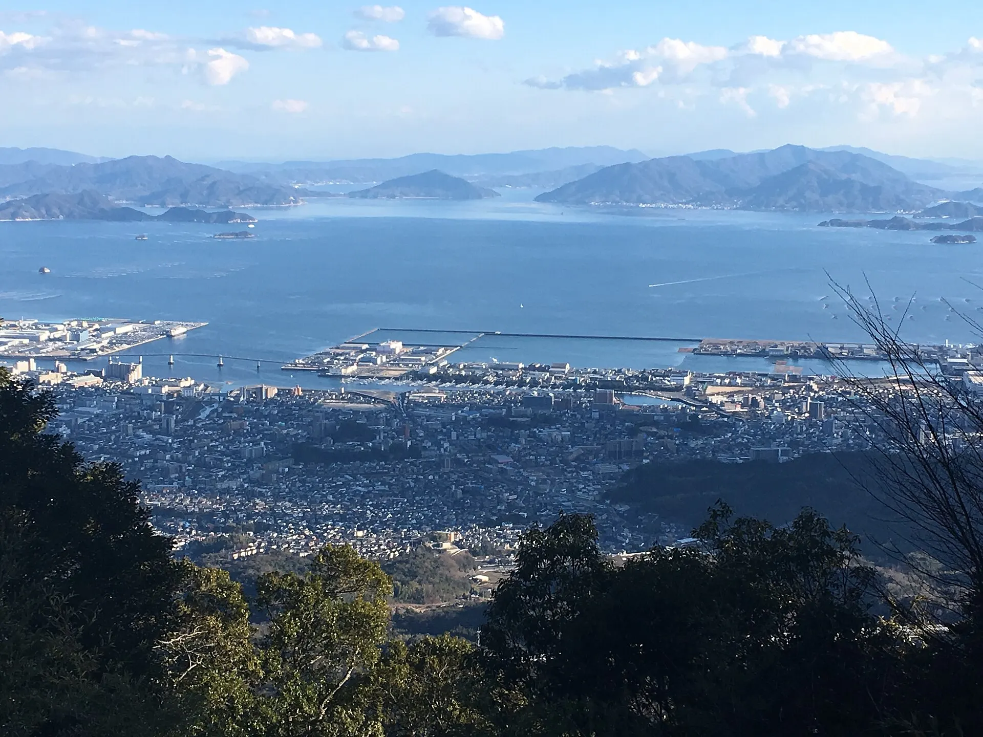
An inland sea enclosed by Honshu, Shikoku and Kyushu. An archipelagic seascape dotted with islands large and small, it forms the heart of Setonaikai National Park, one of Japan's first national parks, designated in 1934.
02Key InformationKey information
Key information about Seto Inland Sea
Only information confirmed in the sources (listed at the bottom of the page) is shown. Please check the latest official information before your visit.
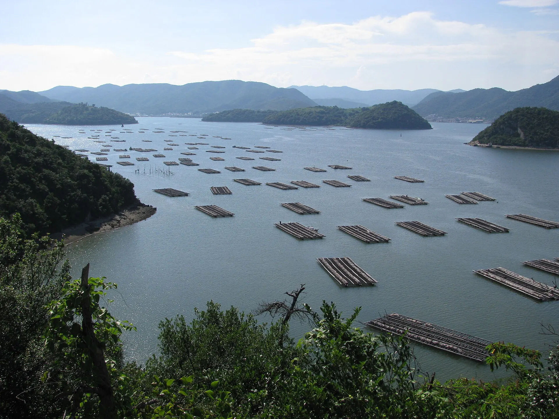
Seto Inland Sea — Hiroshima / Okayama / Kagawa / Ehime / Yamaguchi / Hyogo
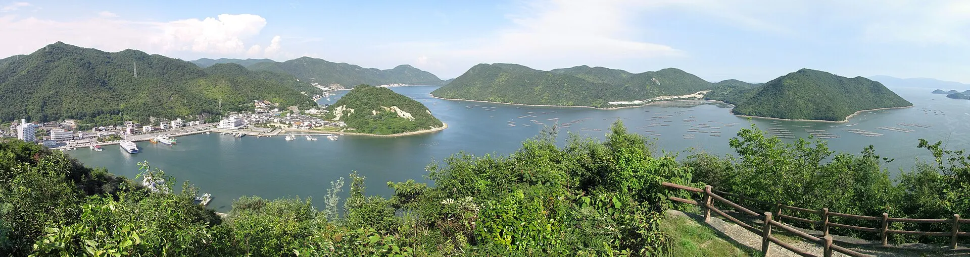
Photo: Aimaimyi / Wikimedia Commons / CC BY-SA 3.0
03StoryStory
The Story of
Seto Inland Sea
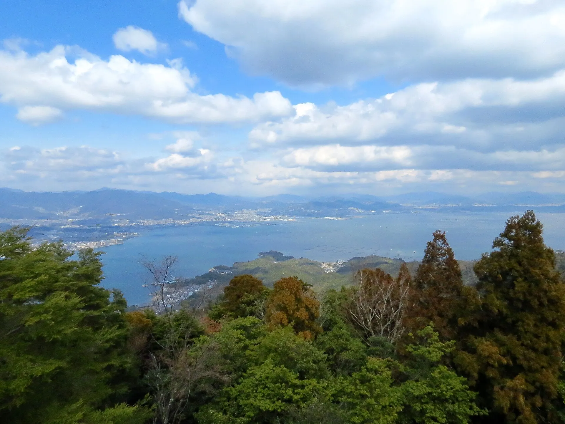
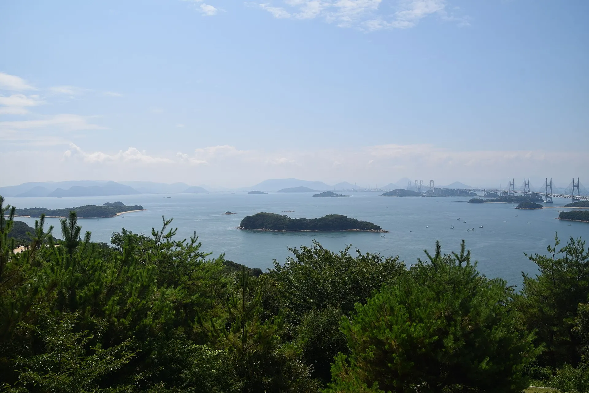
On a sea with gentle waves, the silhouettes of islands overlap one after another. The landscape of the Seto Inland Sea joins sea, islands and sky in soft gradations.
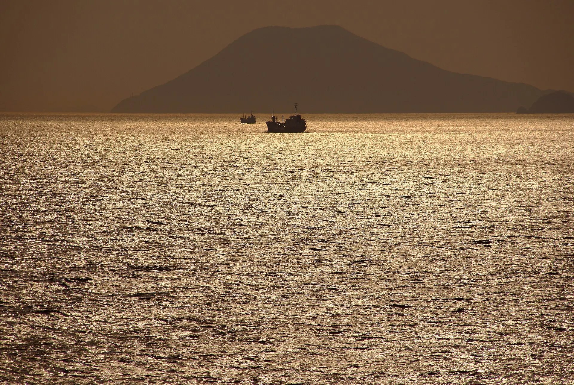
Climb a hill to a viewpoint, and the intricate coastline, the islands and passing ships can all be seen at once. In the evening, when the water turns gold, this sea is at its most beautiful.
04GalleryGallery
Photographs of Seto Inland Sea
4 photographs
—FilmTravel through film
Seto Inland Sea on film
[声と旅する国立公園] 瀬戸内海 | 日本の国立公園
Source: 環境省 日本の国立公園 / Watch on YouTube ↗
瀬戸内海国立公園 島と海、陽と風(環境省)
Source: Tourism Shikoku / Watch on YouTube ↗
The films shown here are published on YouTube by official channels such as the Ministry of the Environment, local governments and tourism associations, and are presented using YouTube's embed feature. Copyright remains with each publisher. No connection is made to YouTube until you press play.
05SeasonsThrough the seasons
The four seasons of Seto Inland Sea
SpringSpring
Island silhouettes overlap softly on a hazy sea.
Recommended
SummerSummer
Island hopping on a calm sea.
Recommended
AutumnAutumn
In the clear air, you can see as far as the distant islands.
Recommended
WinterWinter
A winter of many clear days. The setting sun turns the sea gold.
Recommended
06LocationLocation
34°10'N 133°20'E
Hiroshima / Okayama / Kagawa / Ehime / Yamaguchi / Hyogo (Kansai, Chugoku, Shikoku)
An interactive map is in preparation. For now, the location is shown among all destinations.
07NearbyNearby scenic spots
Another landscape, close by.
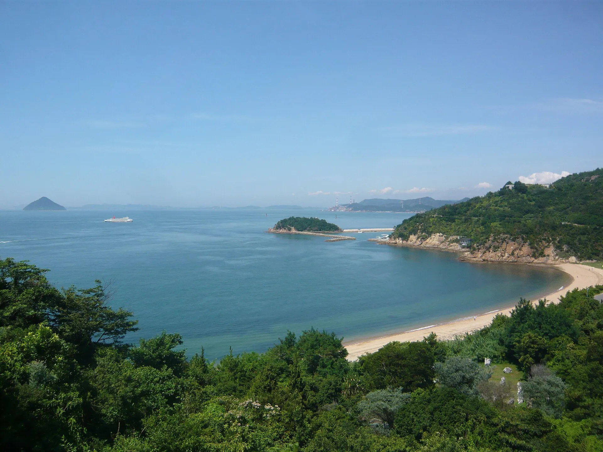
Naoshima
NAOSHIMA
About 68 km (straight-line distance)
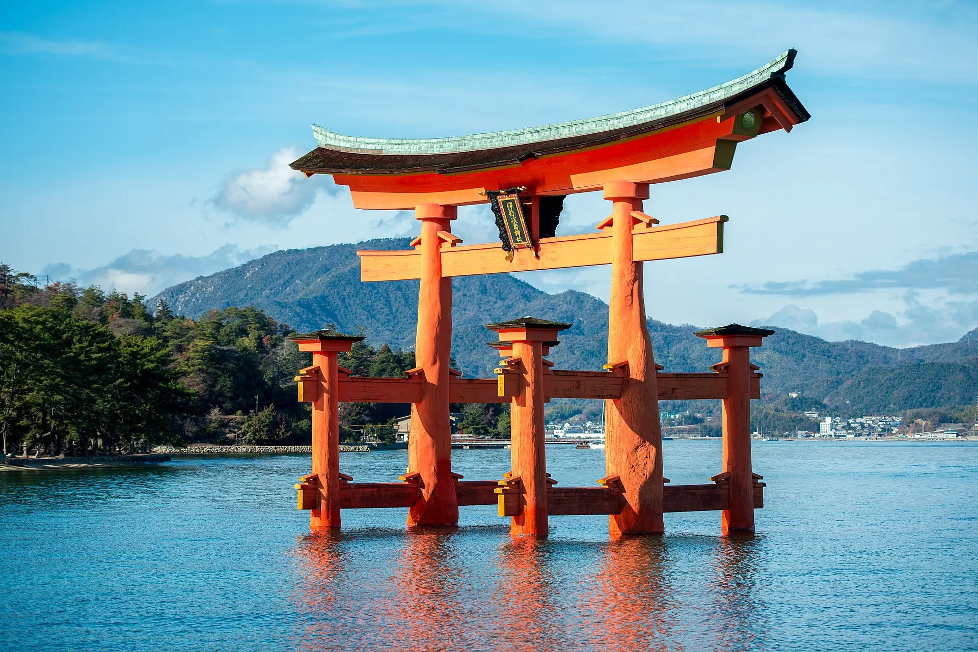
Miyajima
MIYAJIMA
About 94 km (straight-line distance)
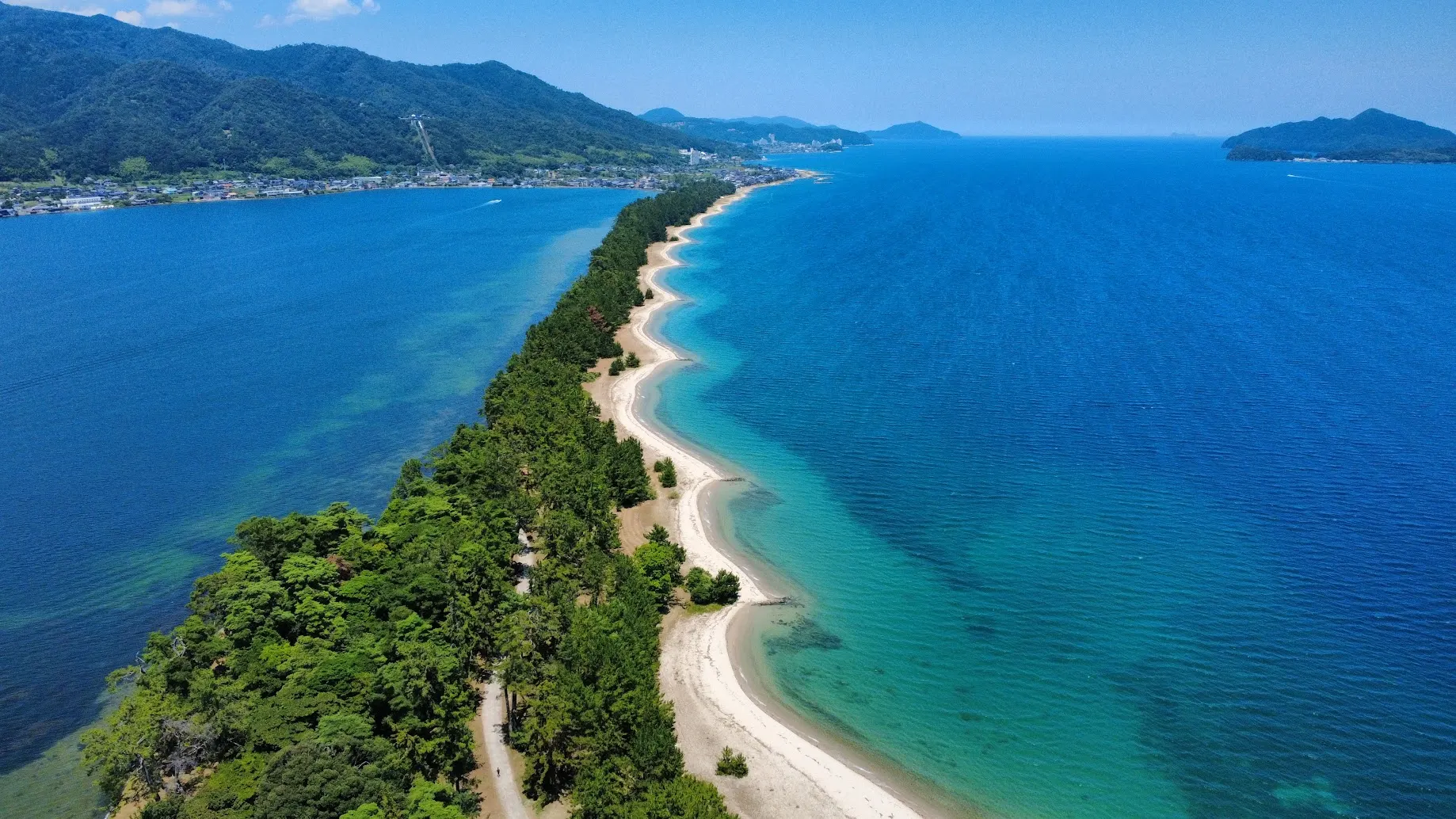
Amanohashidate
AMANOHASHIDATE
About 230 km (straight-line distance)
08RelatedSimilar landscapes
If you love this landscape.
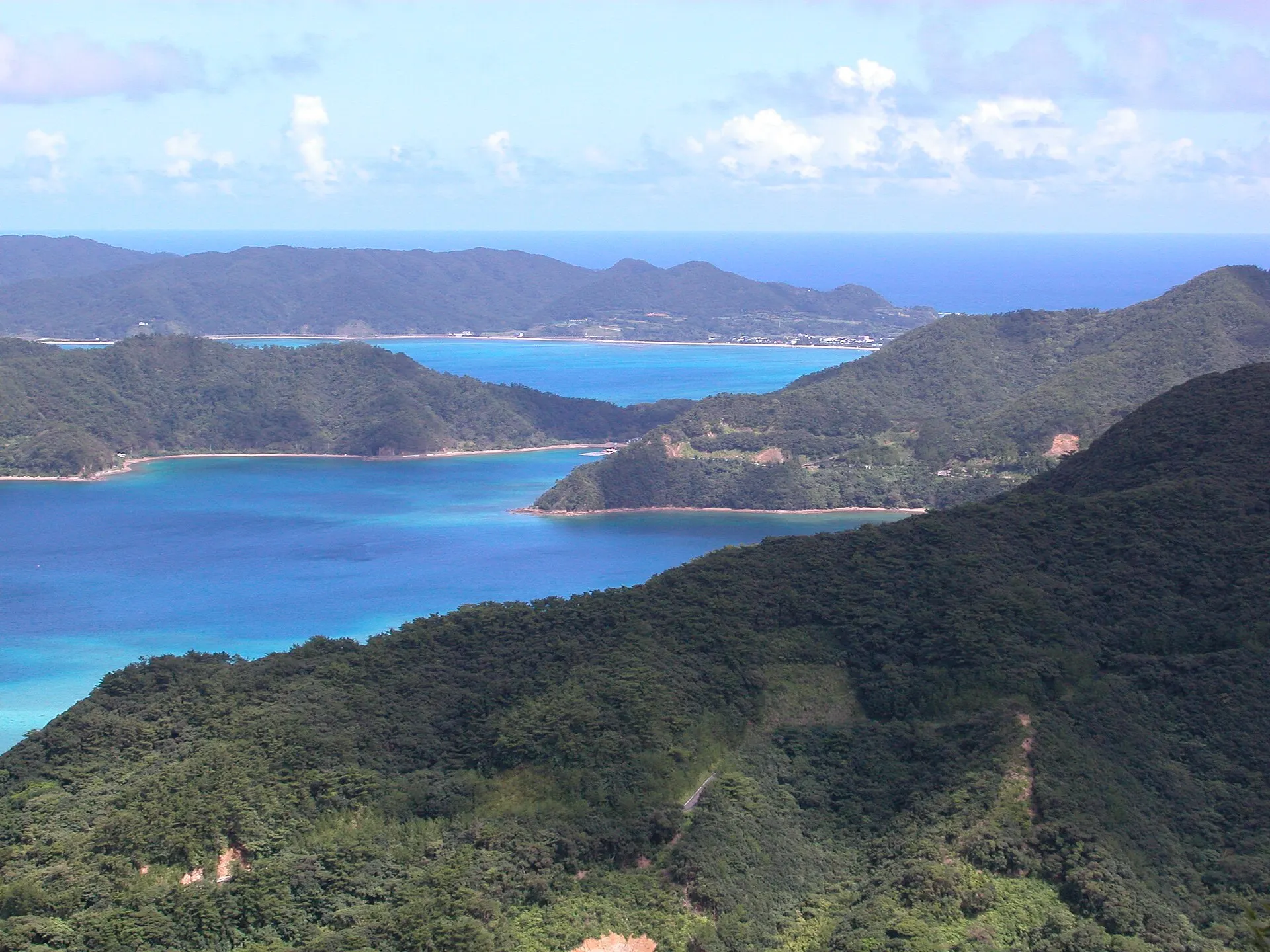
AMAMI
Amami Oshima
Kagoshima
Subtropical forests, and the sea in its inlets.
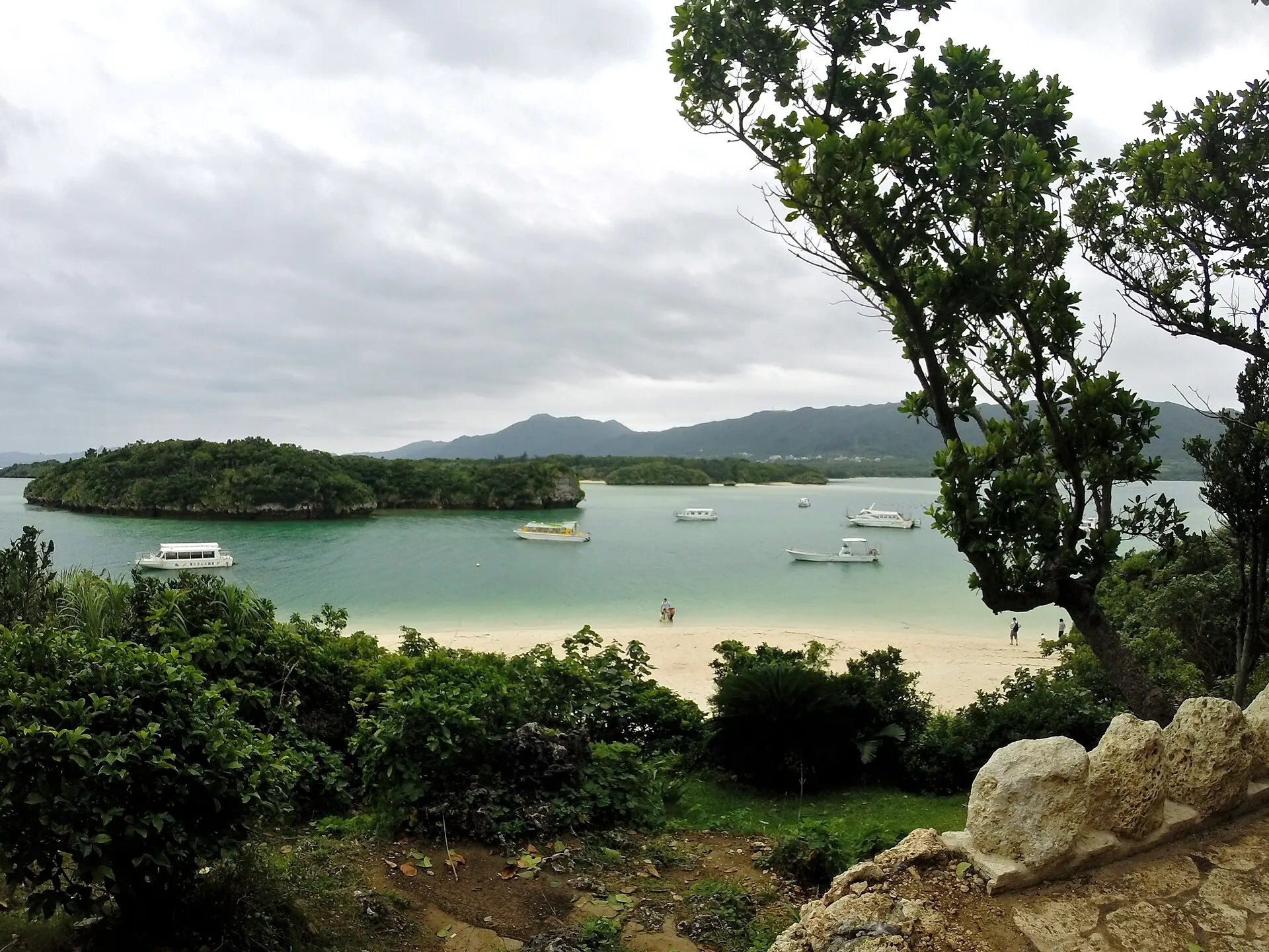
ISHIGAKI
Ishigaki Island & Kabira BayOkinawa · Okinawa
Ishigaki City, Okinawa Prefecture. Kabira Bay, in northwestern Ishigaki Island, is known for its white sand, small green islands and a sea that changes colour moment by moment. It is a national Place of Scenic Beauty and part of Iriomote-Ishigaki National Park. Swimming in the bay is prohibited; glass-bottom boats let you view the underwater world.
Seas / Islands / National parks
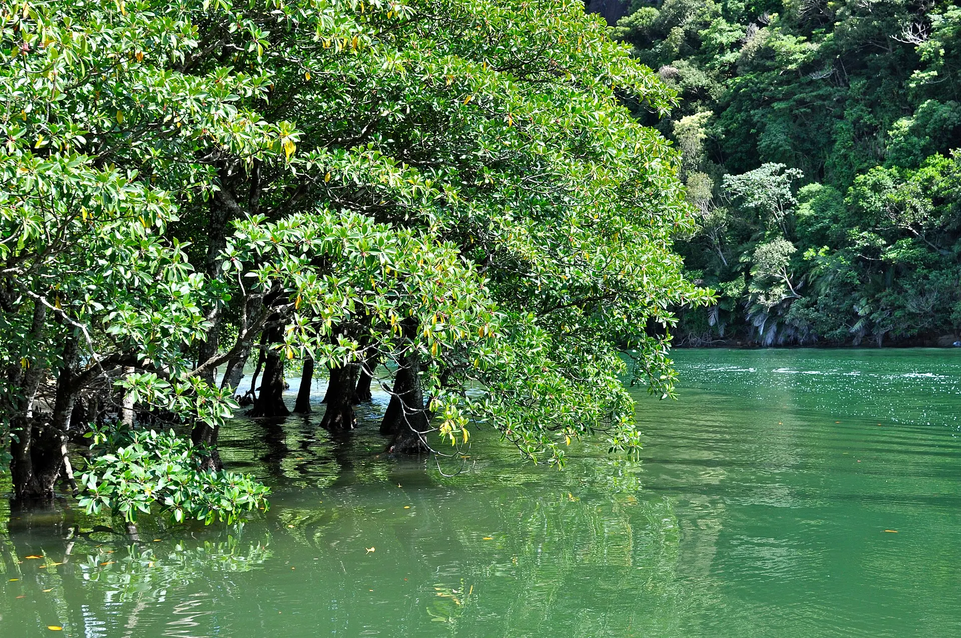
IRIOMOTE
Iriomote IslandOkinawa · Okinawa
Taketomi Town, Okinawa Prefecture. The second-largest island in Okinawa Prefecture after the main island, most of it covered by subtropical forest. Vast mangrove forests spread at the river mouths, and the Iriomote cat lives here. Inscribed as a World Natural Heritage site in 2021.
Islands / Forests / Seas
09SourcesSources
Sources
- Wikipedia「瀬戸内海」Wikipedia
- Wikipedia「瀬戸内海国立公園」Wikipedia
- 環境省 瀬戸内海国立公園環境省
- Wikidata Q231312(瀬戸内海)Wikidata
10Photo CreditsPhoto credits
| Photo | Title / Photographer | Source | Licence |
|---|---|---|---|
| Hiroshima Bay (14097127223)redlegsfan21 | Wikimedia Commons ↗ | CC BY-SA 2.0 |
| Bizen Katakami-wan -01Aimaimyi | Wikimedia Commons ↗ | CC BY-SA 3.0 |
 | Hinase-wan -01Aimaimyi | Wikimedia Commons ↗ | CC BY-SA 3.0 |
 | Seto-naikai02bs3200663highland | Wikimedia Commons ↗ | CC BY 2.5 |
 | Mount Washu - Looking at the Seto Inland SeaYoshi Canopus | Wikimedia Commons ↗ | CC BY-SA 4.0 |
 | Gokurakuji setonaikaiJR East E231 | Wikimedia Commons ↗ | CC BY-SA 4.0 |