Okinawa, Japan
Iriomote IslandIRIOMOTE
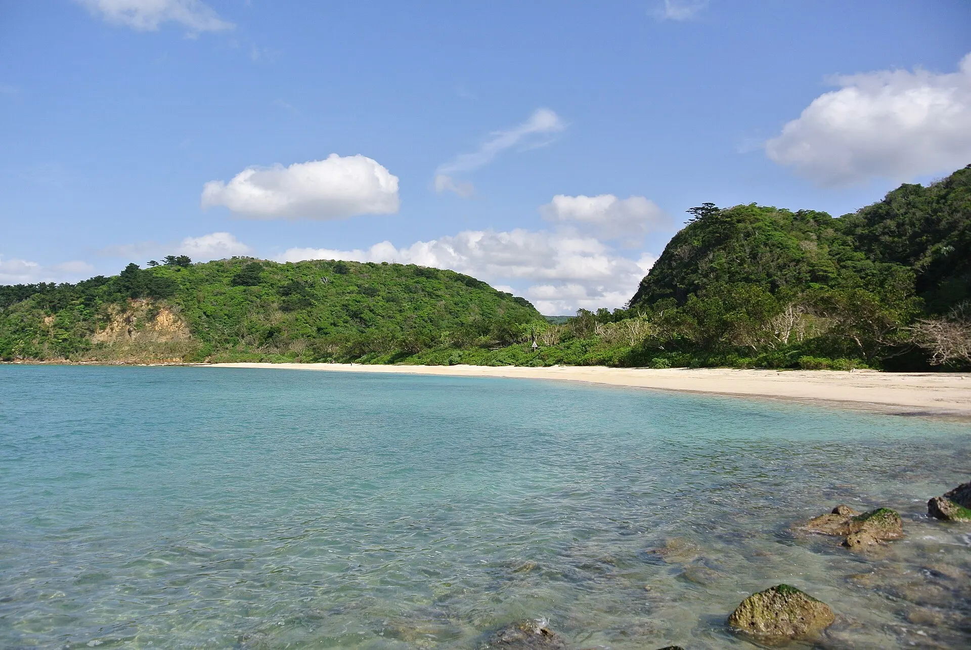
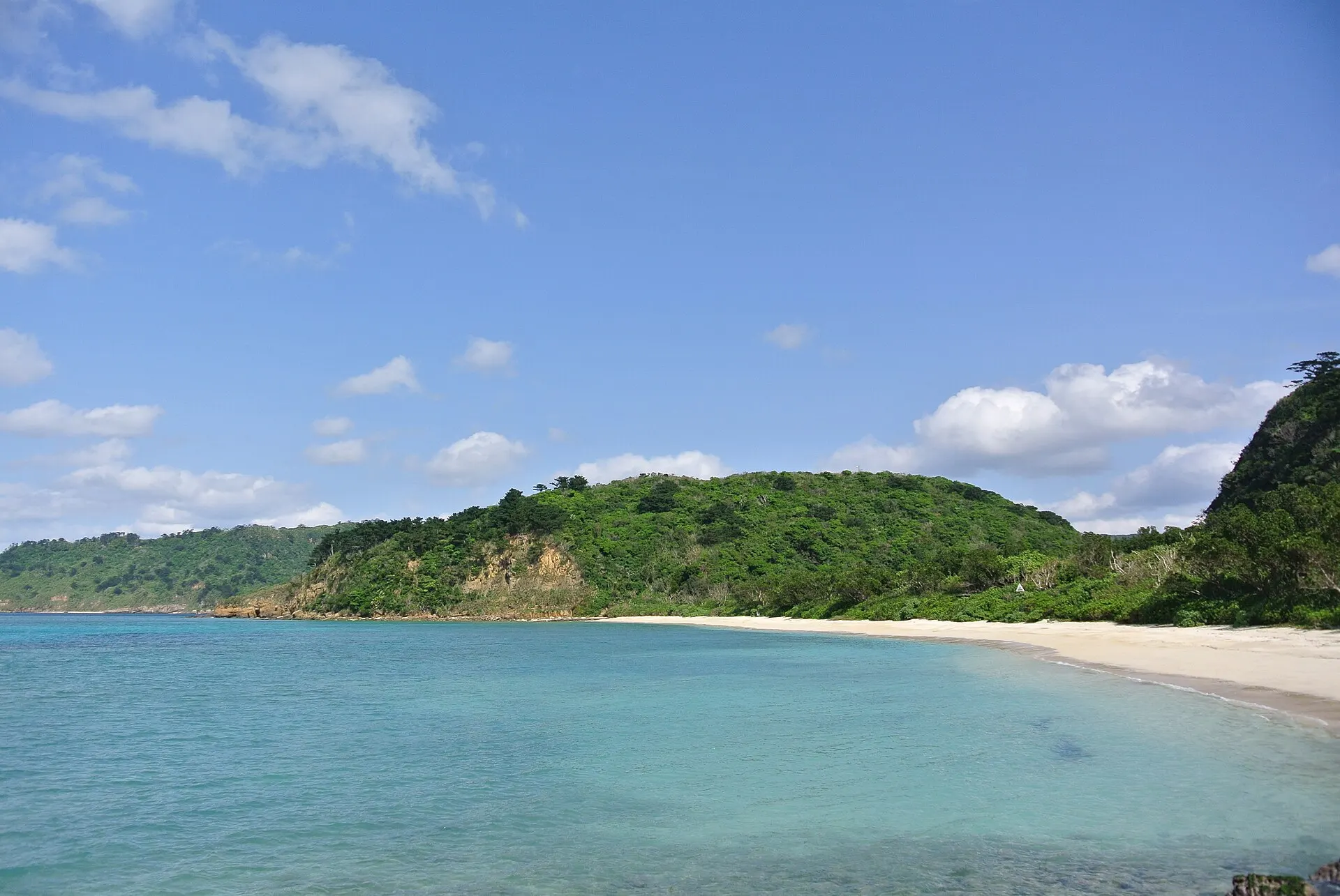
A subtropical jungle covering most of the island.
24°20'N 123°49'E
01IntroductionIntroduction
A subtropical jungle covering most of the island.
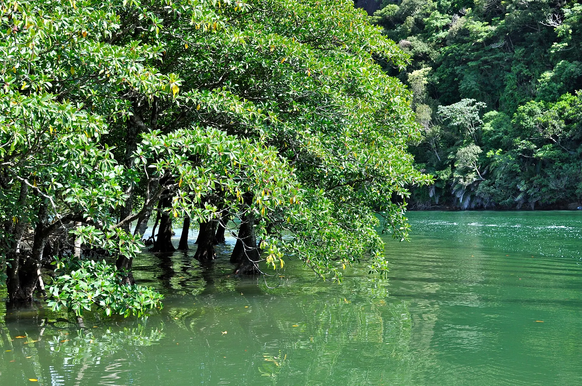
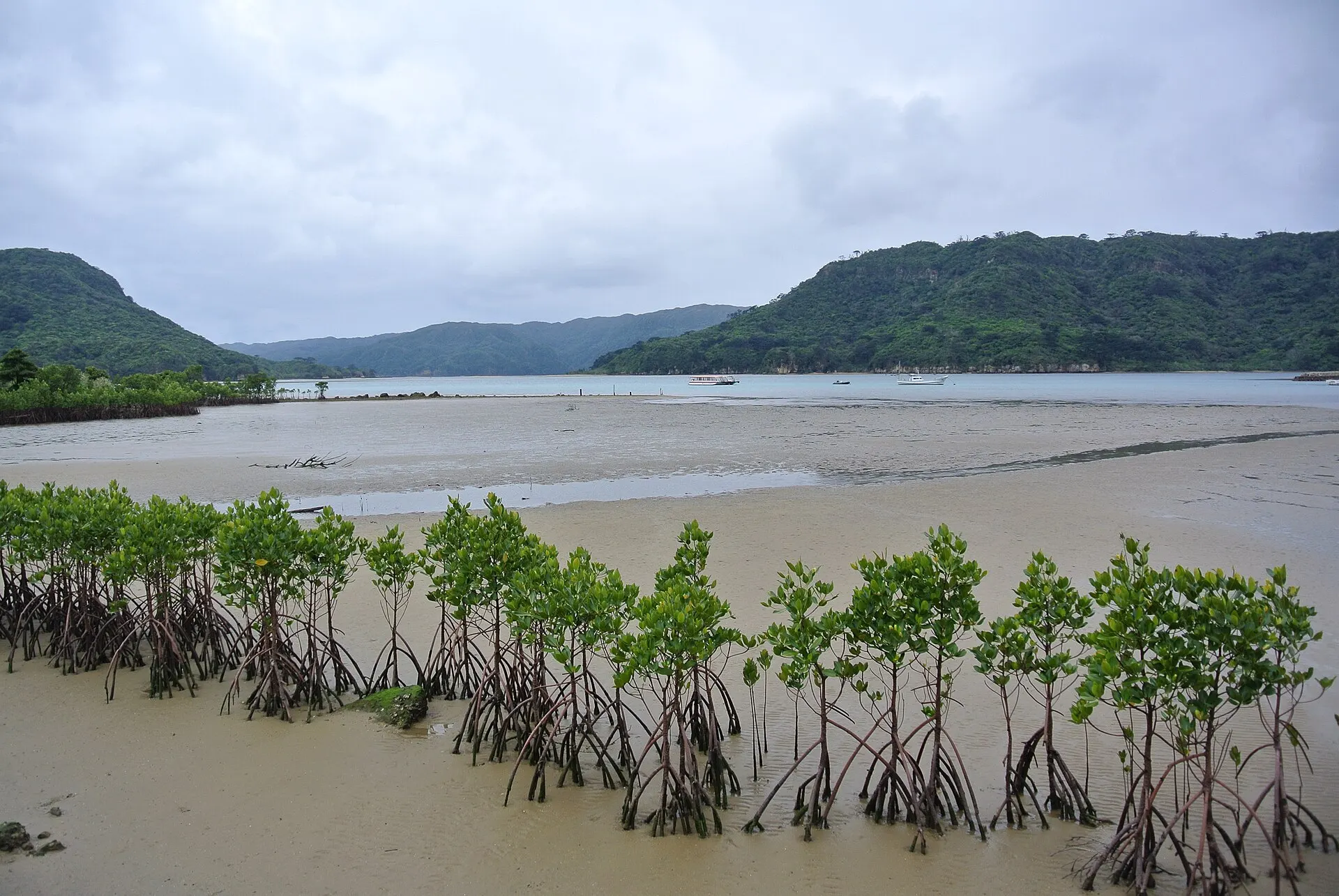
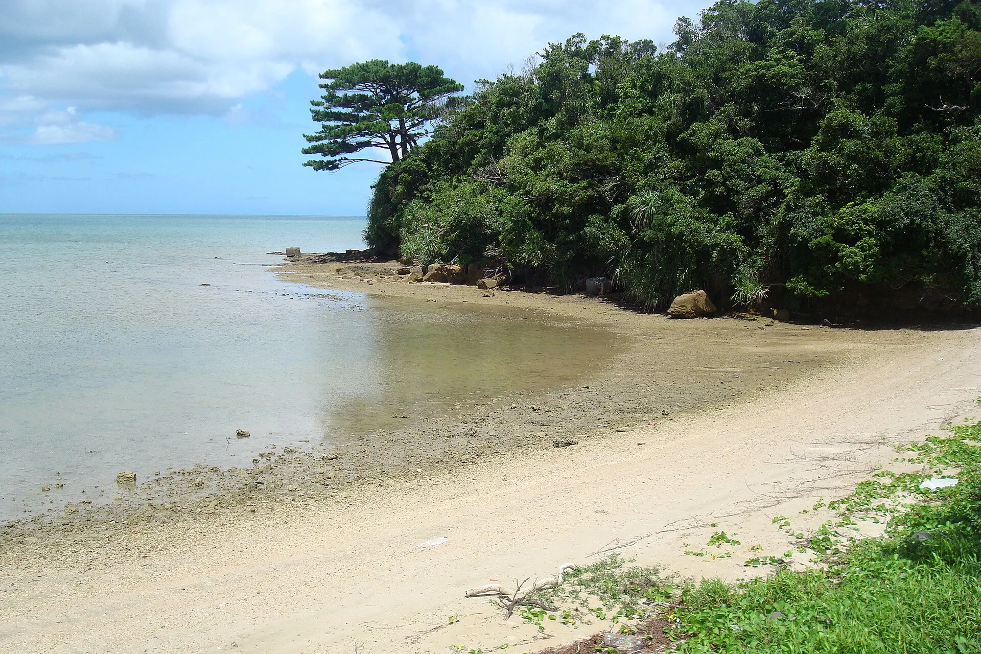
Taketomi Town, Okinawa Prefecture. The second-largest island in Okinawa Prefecture after the main island, most of it covered by subtropical forest. Vast mangrove forests spread at the river mouths, and the Iriomote cat lives here. Inscribed as a World Natural Heritage site in 2021.
02Key InformationKey information
Key information about Iriomote Island
Only information confirmed in the sources (listed at the bottom of the page) is shown. Please check the latest official information before your visit.
- PrefecturePrefecture
- Okinawa
- RegionRegion
- Okinawa
- MunicipalityMunicipality
- Taketomi Town
- CategoryScenery
- IslandsForestsSeasNational parksWorld Heritage
- Protected areasProtection
- Iriomote-Ishigaki National Park
- World Natural Heritage "Amami-Oshima Island, Tokunoshima Island, Northern part of Okinawa Island, and Iriomote Island" (2021)
- AreaData
- 289.28 km²
- LocationCoordinates
- 24°20'N 123°49'E
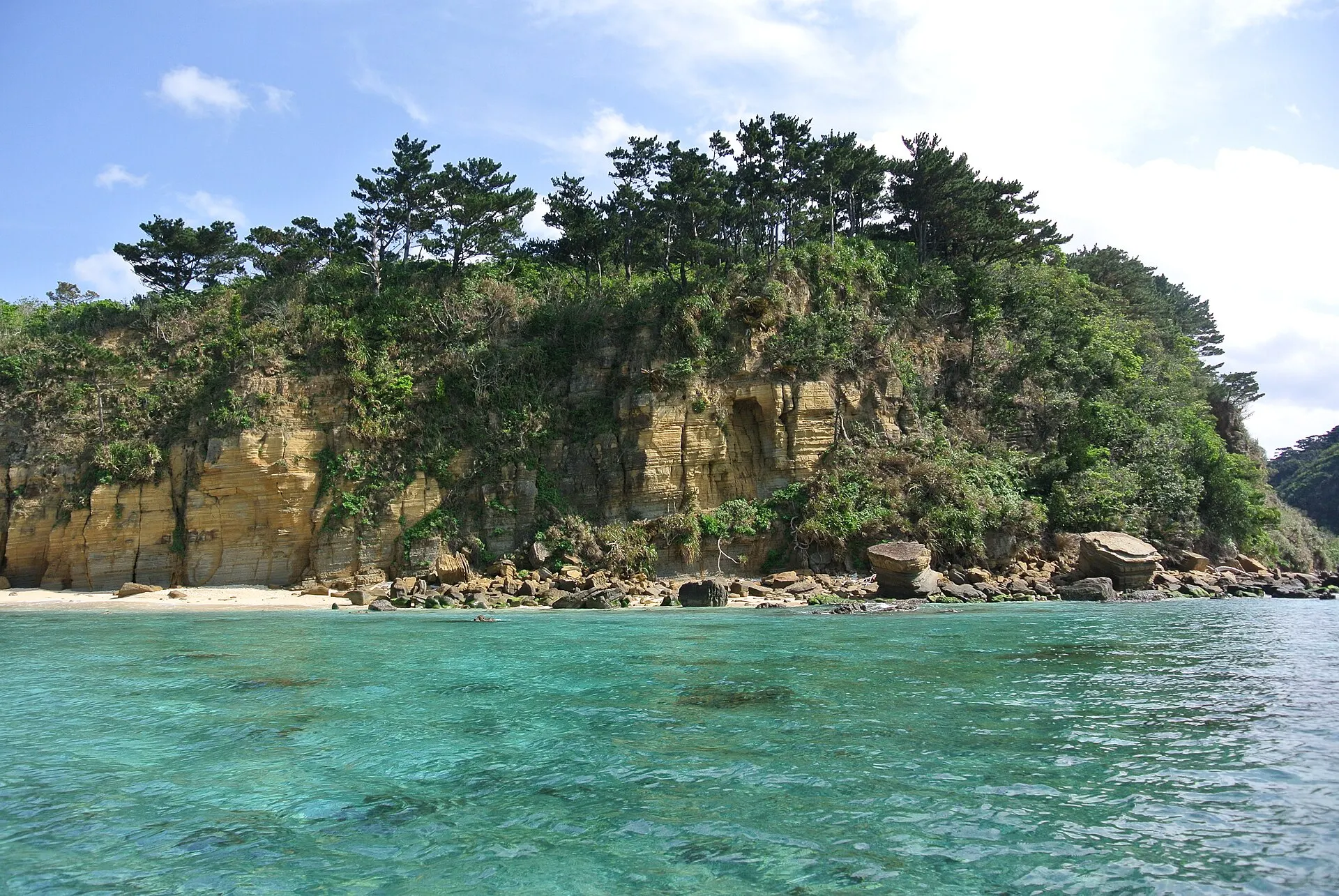
Iriomote Island — Okinawa
Photo: Suicasmo / Wikimedia Commons / CC BY-SA 4.0
03StoryStory
The Story of
Iriomote
Arrive at the port by boat, and deep forest presses in right behind. Iriomote Island is rare even in Japan, with most of the island covered by subtropical primeval forest.
Mangrove forests spread at the river mouths, and paddling upriver by canoe eventually brings you to waterfalls deep in the forest.
The Iriomote cat, which lives only on this island, is a national Special Natural Monument. An environment where forest, river and sea form one continuous whole supports its life.
04GalleryGallery
Photographs of Iriomote Island
4 photographs
—FilmTravel through film
Iriomote Island on film
西表石垣 | サンゴ礁を未来へつなぐ、地元の人々の取り組み | 日本の国立公園
Source: 環境省 日本の国立公園 / Watch on YouTube ↗
The films shown here are published on YouTube by official channels such as the Ministry of the Environment, local governments and tourism associations, and are presented using YouTube's embed feature. Copyright remains with each publisher. No connection is made to YouTube until you press play.
05SeasonsThrough the seasons
The four seasons of Iriomote Island
SpringSpring
The forest comes alive. A season suited to canoeing and trekking.
Recommended
SummerSummer
Mangrove rivers, and a sea of coral.
Recommended
AutumnAutumn
The heat eases, suited to forest walks.
Recommended
WinterWinter
A mild winter. Quiet island time.
Recommended
06LocationLocation
24°20'N 123°49'E
Okinawa, Taketomi Town (Okinawa)
An interactive map is in preparation. For now, the location is shown among all destinations.
07NearbyNearby scenic spots
Another landscape, close by.
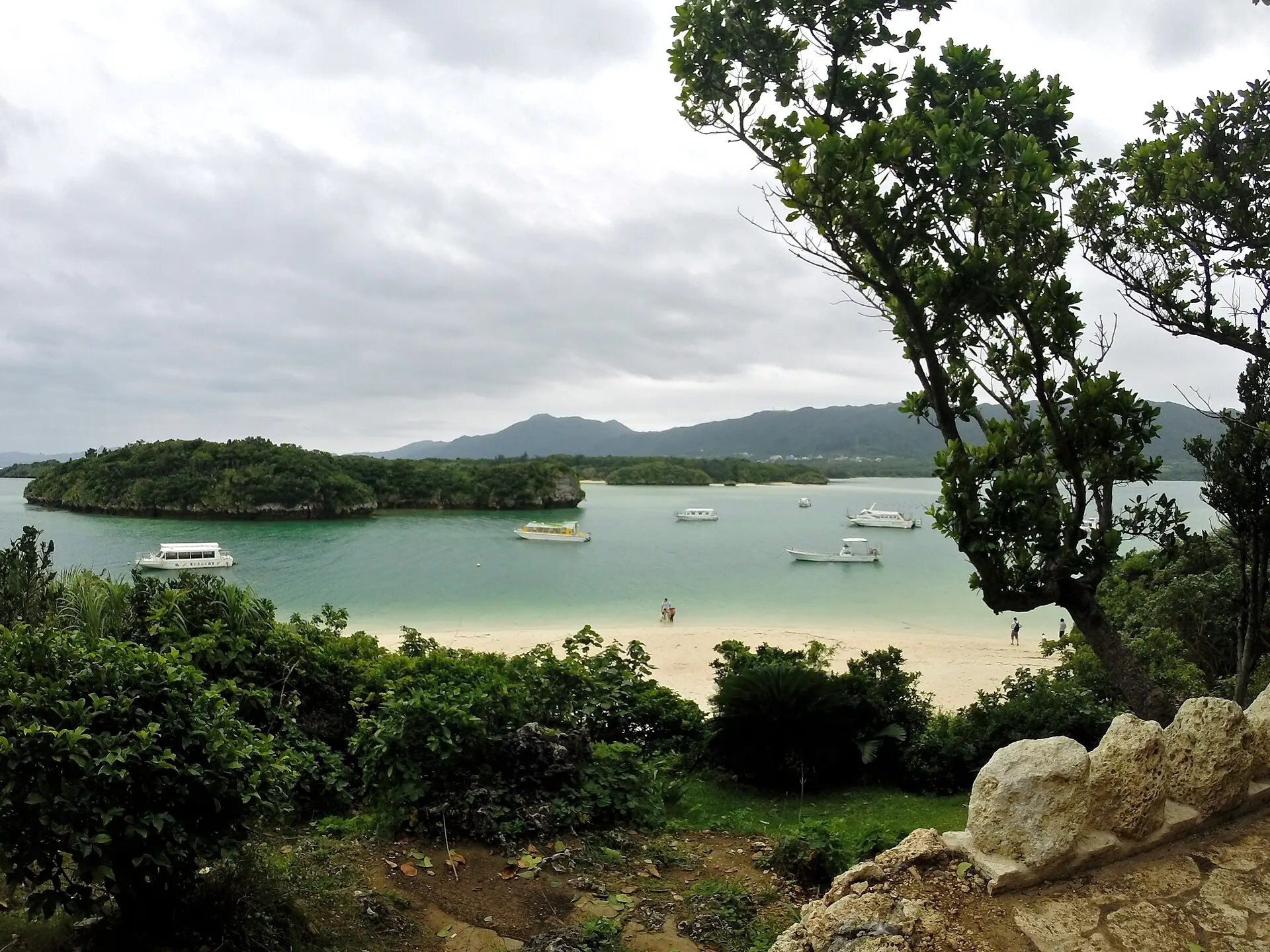
Ishigaki Island & Kabira Bay
ISHIGAKI
About 36 km (straight-line distance)
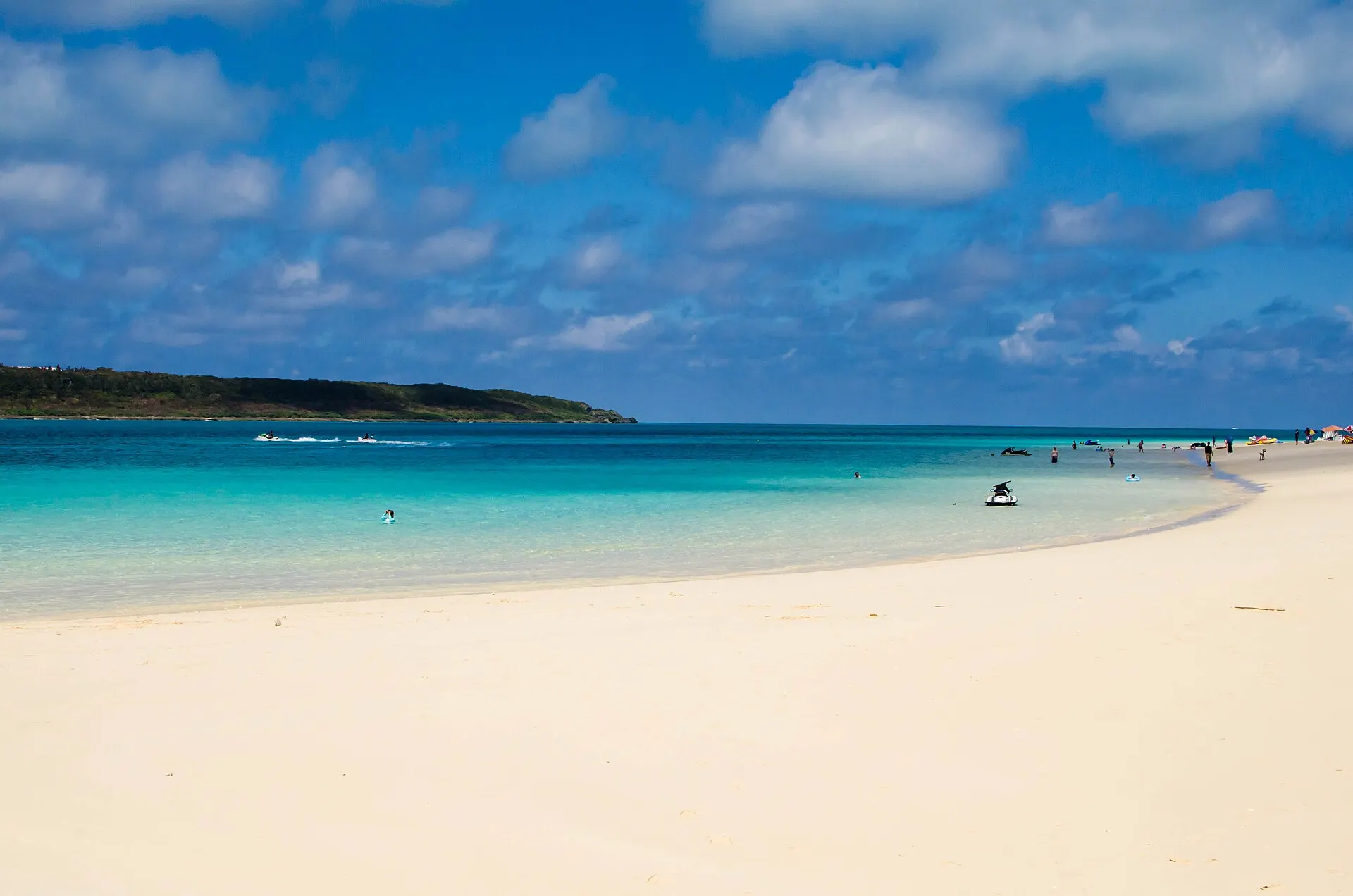
Miyako Island
MIYAKOJIMA
About 153 km (straight-line distance)
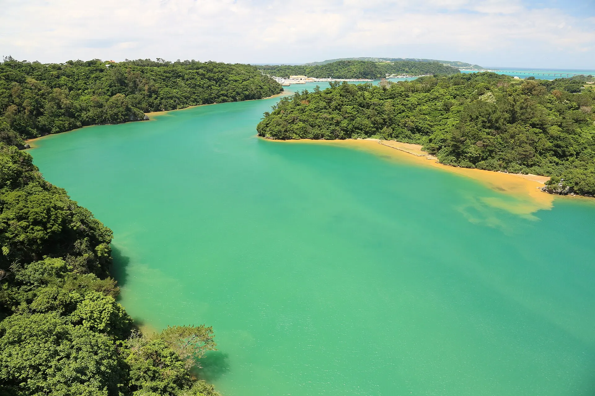
Northern Okinawa Island
OKINAWA
About 497 km (straight-line distance)
08RelatedSimilar landscapes
If you love this landscape.
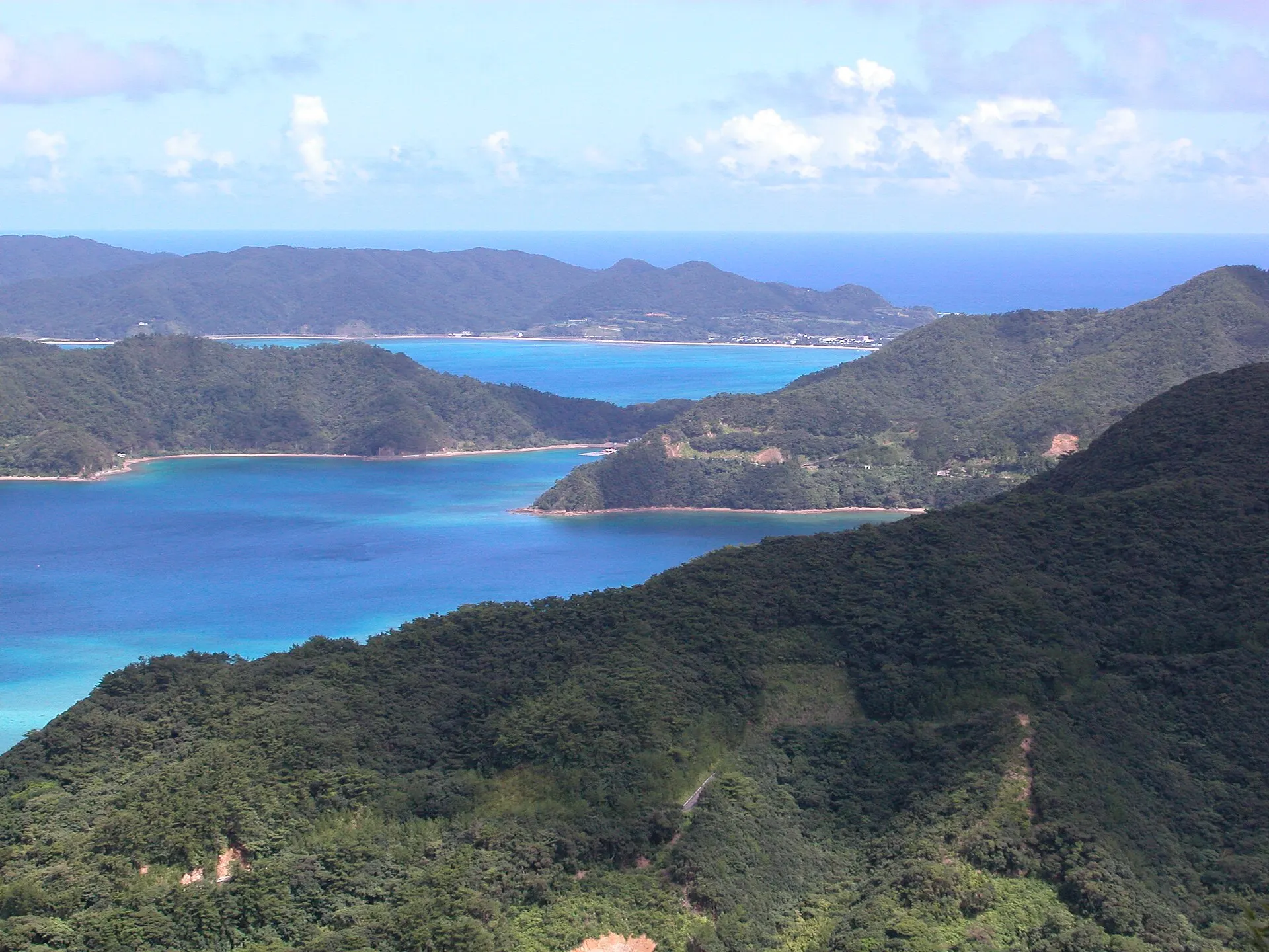
AMAMI
Amami Oshima
Kagoshima
Subtropical forests, and the sea in its inlets.
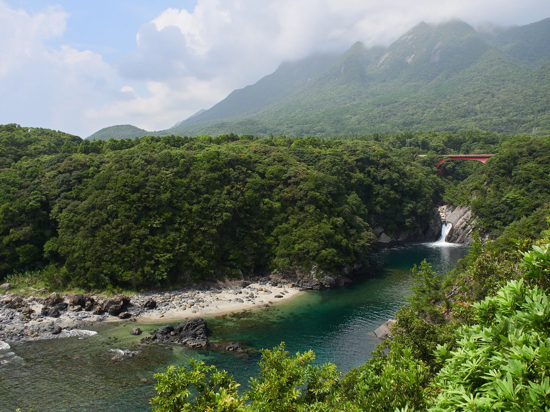
YAKUSHIMA
YakushimaKagoshima · Kyushu
Yakushima Town, Kagoshima Prefecture. Home to Mount Miyanoura (1,936 m), the highest peak in Kyushu, with forests of Yakusugi cedars over a thousand years old and moss-covered ravines. In 1993 it became one of the first areas in Japan inscribed as a World Natural Heritage site.
Islands / Forests / Mountains
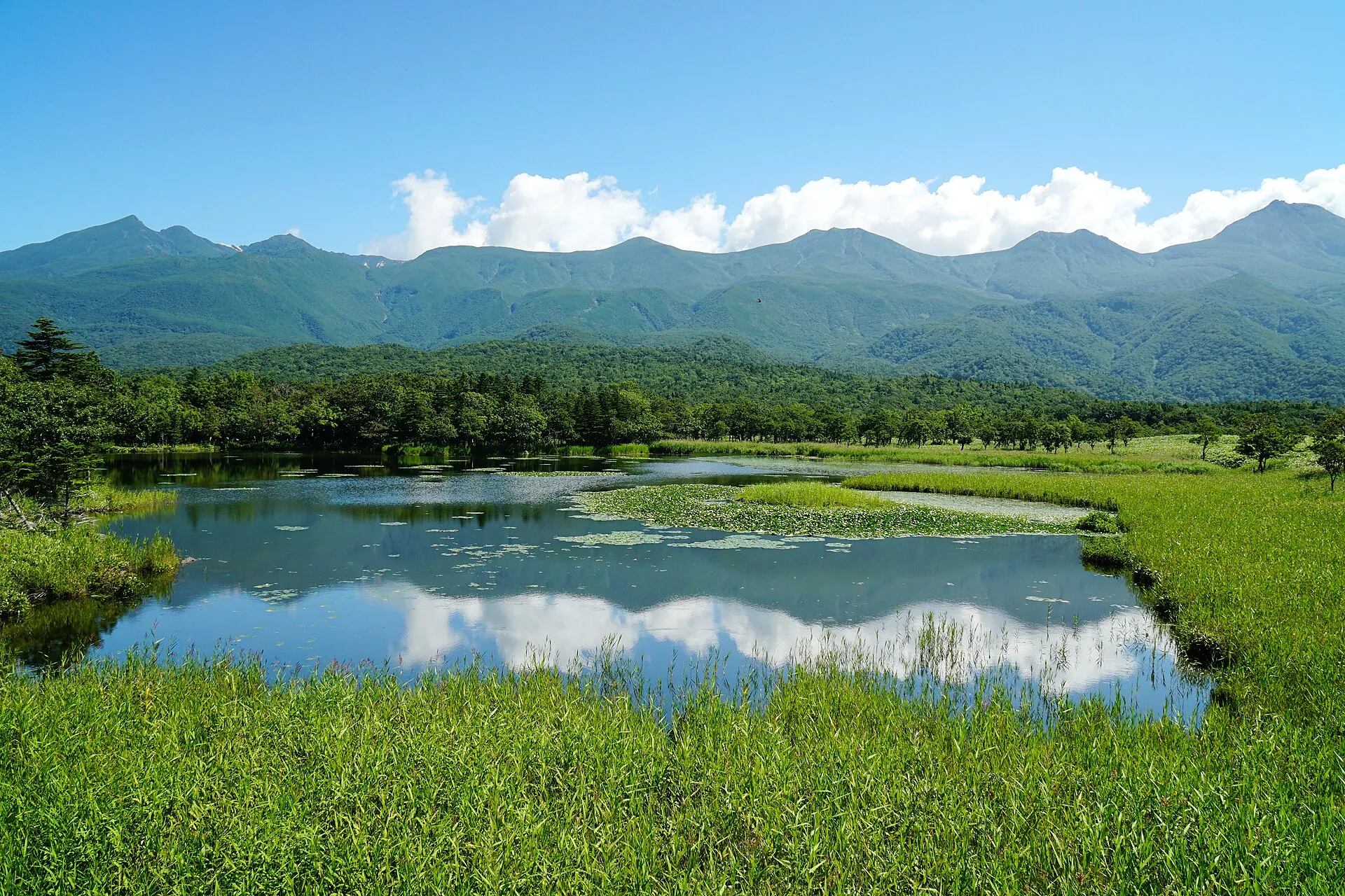
SHIRETOKO
ShiretokoHokkaido · Hokkaido
The Shiretoko Peninsula at the eastern tip of Hokkaido. Recognised for an ecosystem in which nutrients carried by drift ice link the sea to the forests and mountains, it was inscribed as a World Natural Heritage site in 2005. The Shiretoko Five Lakes, sheer coastal cliffs and pristine nature home to brown bears and deer remain.
Seas / Forests / Lakes
09SourcesSources
Sources
10Photo CreditsPhoto credits
| Photo | Title / Photographer | Source | Licence |
|---|---|---|---|
| Iriomote Island MangroovesBenedettaR | Wikimedia Commons ↗ | CC BY-SA 3.0 |
| Funauki 20150209-4Suicasmo | Wikimedia Commons ↗ | CC BY-SA 4.0 |
 | Funauki 20150209-2Suicasmo | Wikimedia Commons ↗ | CC BY-SA 4.0 |
 | Iriomotejima 20150208-1Suicasmo | Wikimedia Commons ↗ | CC BY-SA 4.0 |
 | Funauki 20150209-8Suicasmo | Wikimedia Commons ↗ | CC BY-SA 4.0 |
 | Iriomote Jima 1Tzuhsun Hsu from Taipei, Taiwan | Wikimedia Commons ↗ | CC BY-SA 2.0 |