Okinawa, Japan
Northern Okinawa IslandOKINAWA
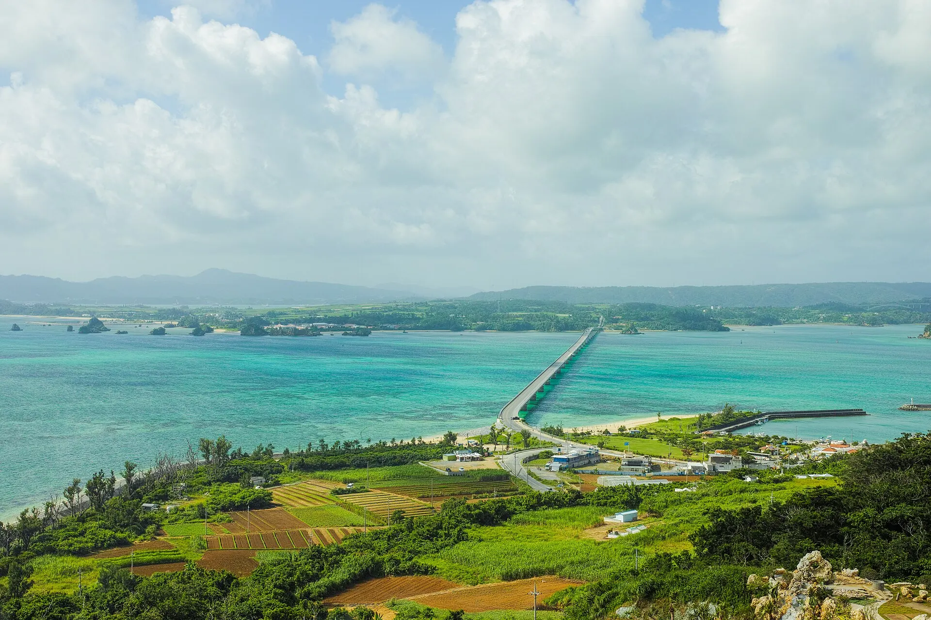
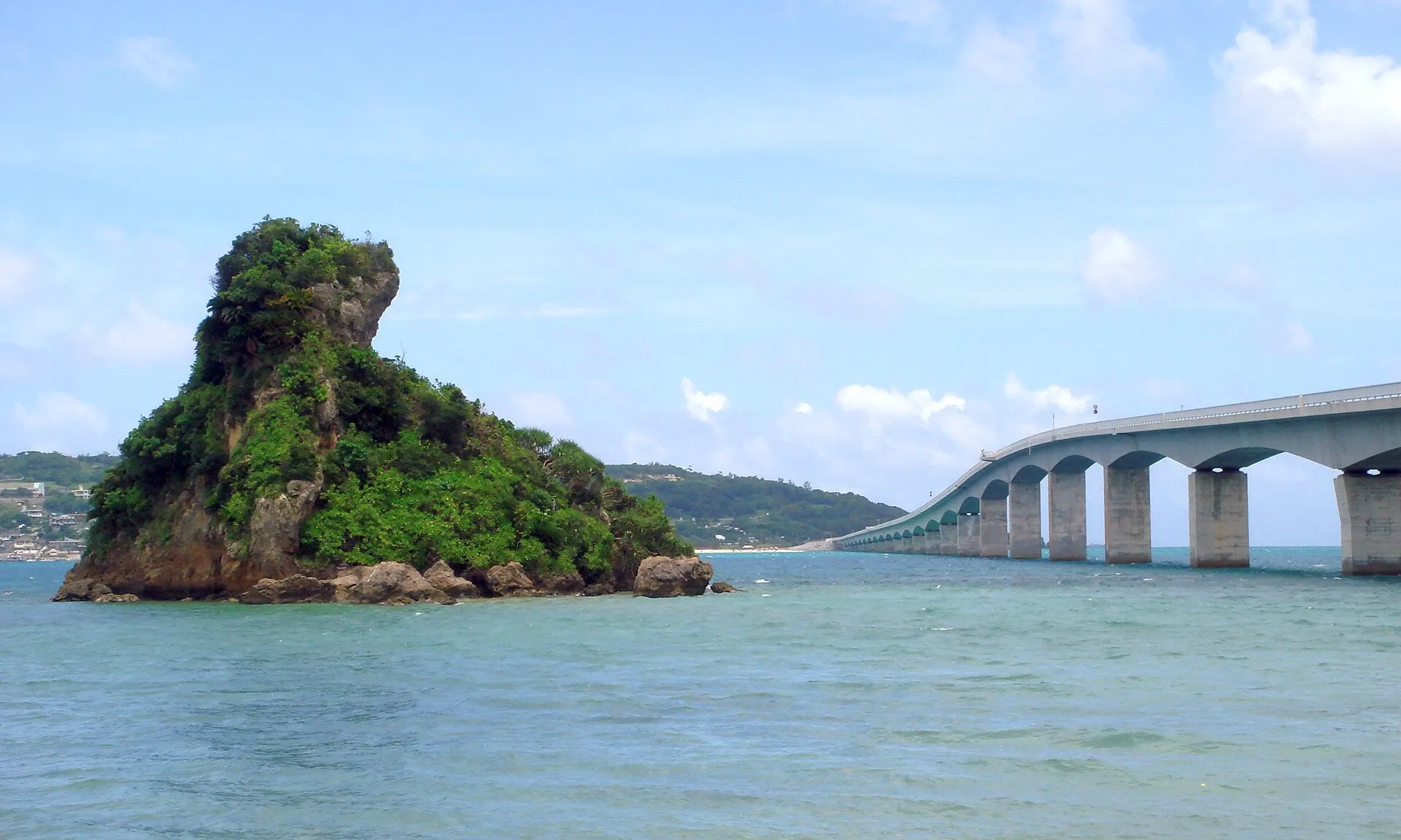
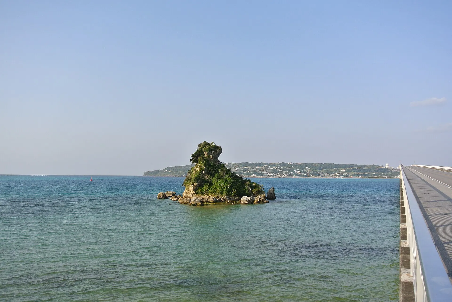
The Kouri Bridge, crossing an emerald sea.
26°42'N 128°01'E
01IntroductionIntroduction
The Kouri Bridge, crossing an emerald sea.
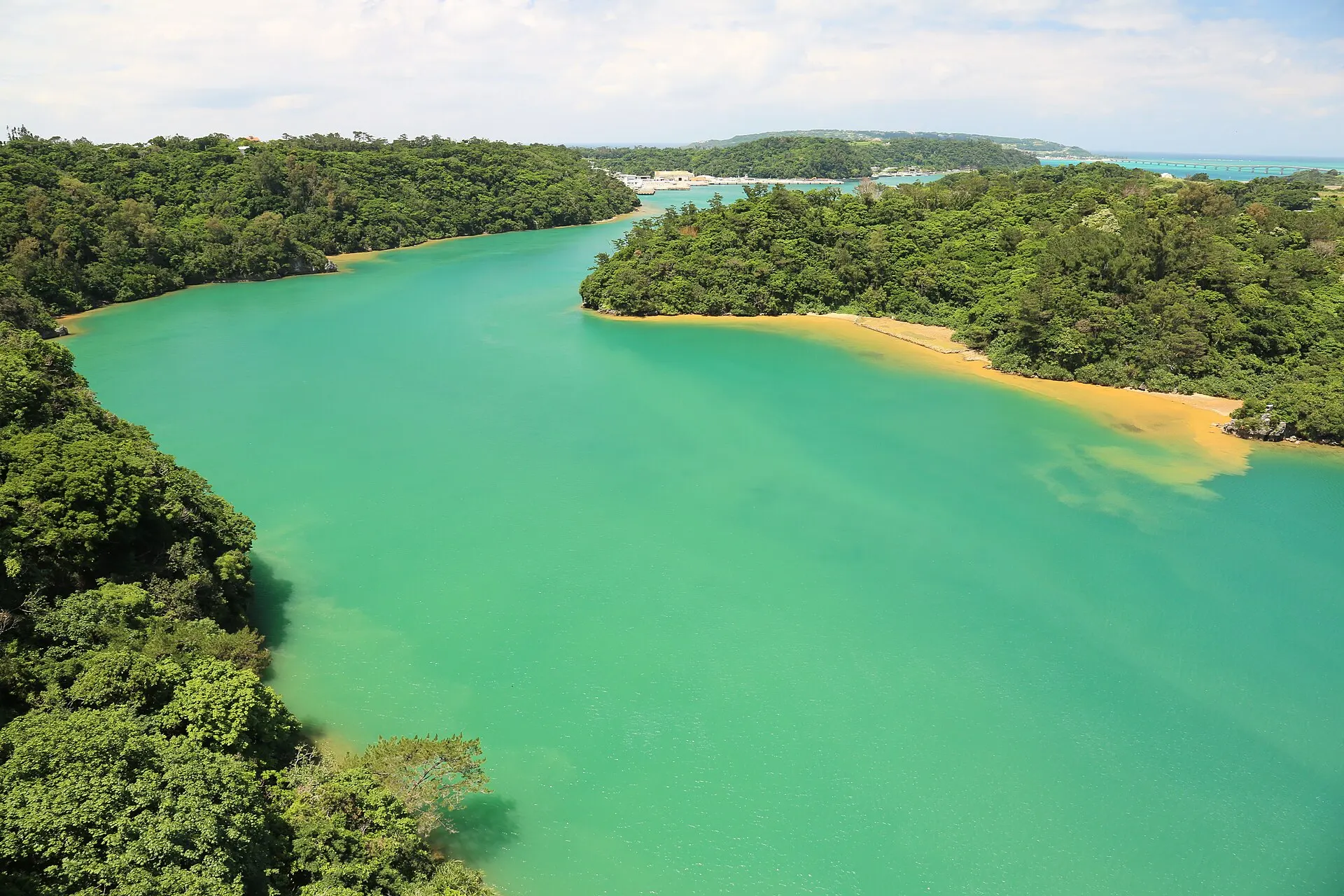
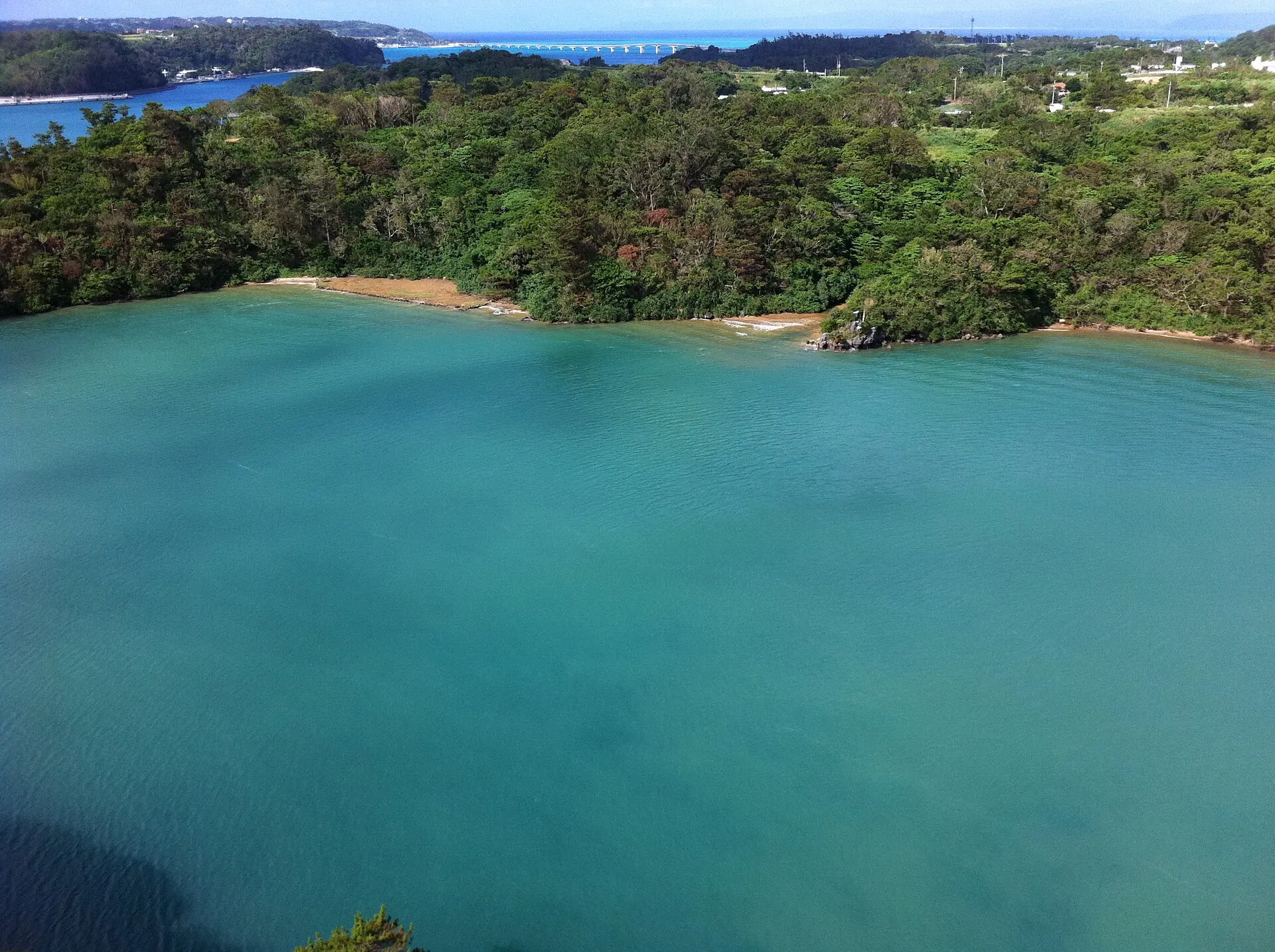
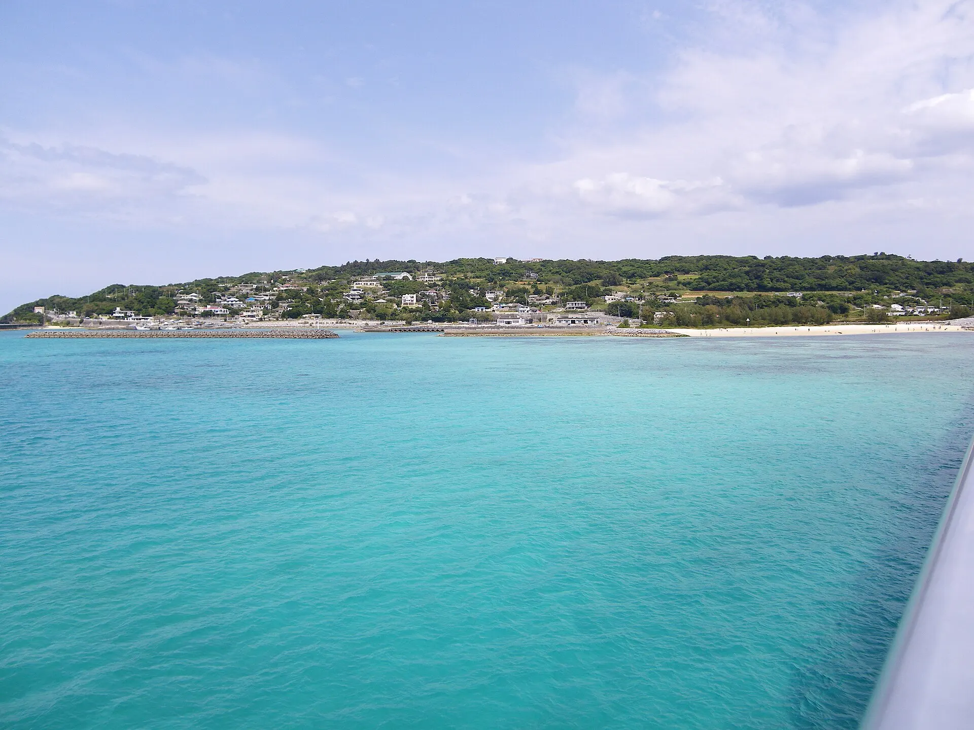
Okinawa Prefecture, around Nakijin Village and Nago City in the north of the main island. On both sides of the Kouri Bridge, which spans to Kouri Island, spreads a shallow emerald-green sea.
02Key InformationKey information
Key information about Northern Okinawa Island
Only information confirmed in the sources (listed at the bottom of the page) is shown. Please check the latest official information before your visit.
Northern Okinawa Island — Okinawa
Photo: Takuya ASADA / Wikimedia Commons / CC BY 2.0
03StoryStory
The Story of
Northern Okinawa Island
In the few minutes it takes to cross the bridge, the colour of the sea on either side shifts moment by moment. From the emerald of the shallows to the blue of the depths. The Kouri Bridge is also a road for experiencing the colours of the northern sea.
Around Nakijin and Nago, inlets and small beaches are scattered, and time flows quietly, unlike in the urban south.
04GalleryGallery
Photographs of Northern Okinawa Island
4 photographs
—FilmTravel through film
Northern Okinawa Island on film
【古宇利大橋】Be.Okinawa つぎなる旅先、沖縄へ|Be.Okinawa 2020
Source: Be.Okinawa【公式】 / Watch on YouTube ↗
The films shown here are published on YouTube by official channels such as the Ministry of the Environment, local governments and tourism associations, and are presented using YouTube's embed feature. Copyright remains with each publisher. No connection is made to YouTube until you press play.
05SeasonsThrough the seasons
The four seasons of Northern Okinawa Island
SpringSpring
The season when beaches open. The water begins to warm.
Recommended
SummerSummer
The sea is at its most vivid.
Recommended
AutumnAutumn
A sea that lingers from summer, and slightly softer sunlight.
Recommended
WinterWinter
Mild, though some days bring north winds. You can walk quiet shores.
Recommended
06LocationLocation
26°42'N 128°01'E
Okinawa, Nakijin Village, Nago City (Okinawa)
An interactive map is in preparation. For now, the location is shown among all destinations.
07NearbyNearby scenic spots
Another landscape, close by.
Amami Oshima
AMAMI
About 220 km (straight-line distance)
Miyako Island
MIYAKOJIMA
About 352 km (straight-line distance)
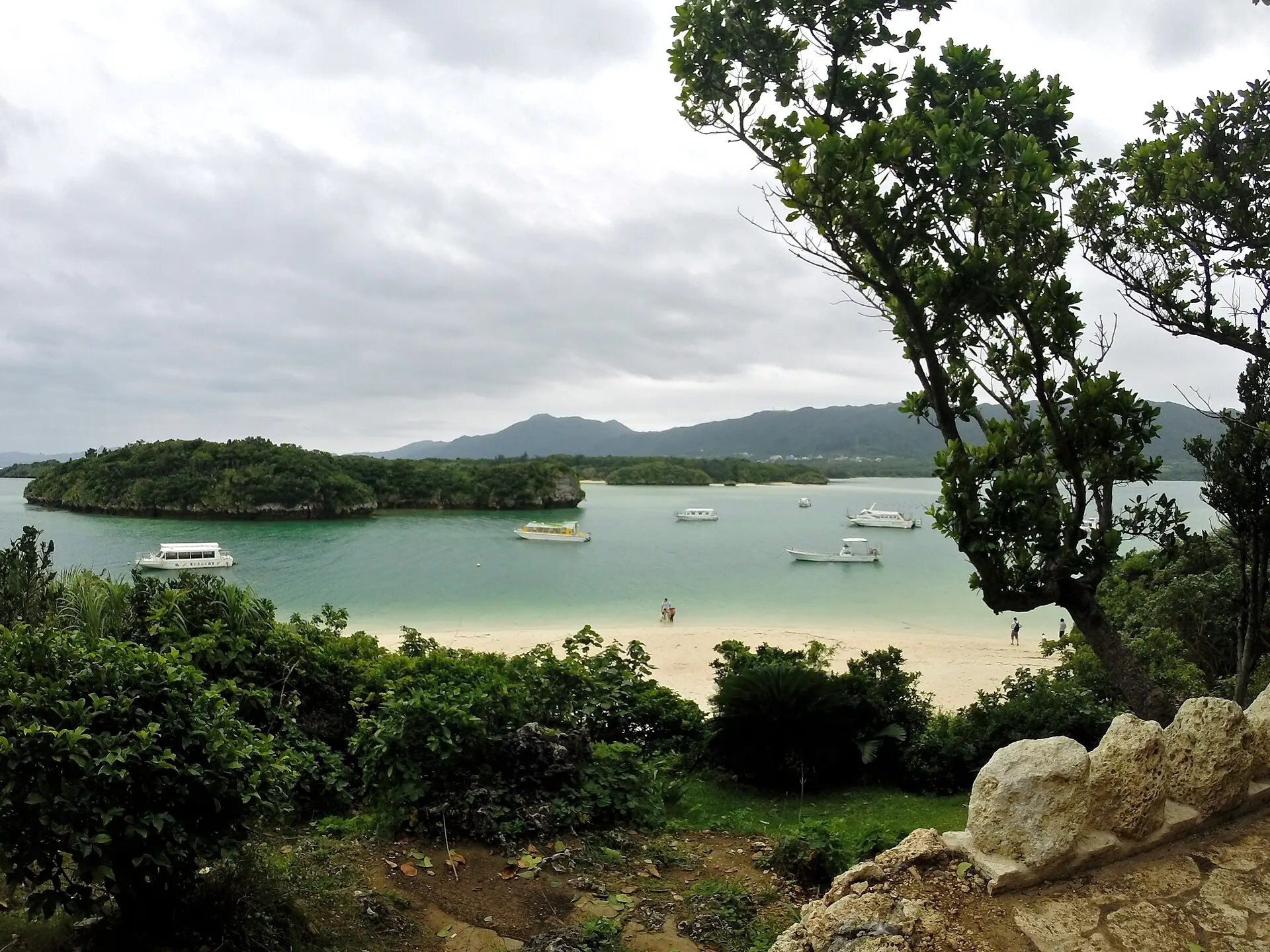
Ishigaki Island & Kabira Bay
ISHIGAKI
About 462 km (straight-line distance)
08RelatedSimilar landscapes
If you love this landscape.
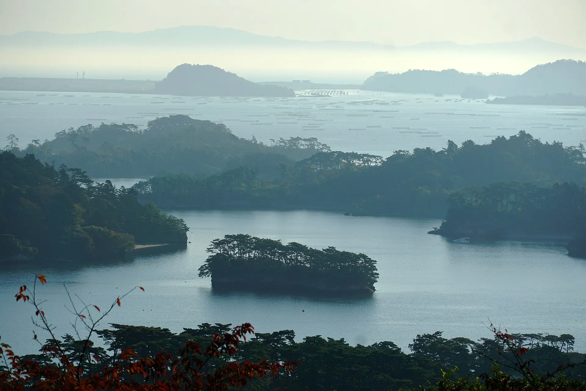
MATSUSHIMA
Matsushima
Miyagi
One of the Three Views of Japan. A bay of pine-crowned islands.
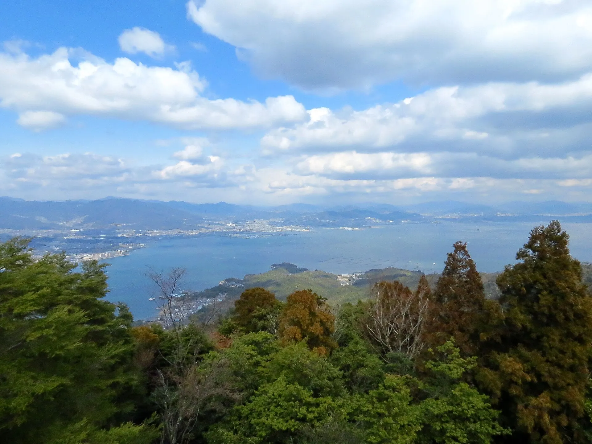
SETOUCHI
Seto Inland SeaHiroshima / Okayama / Kagawa / Ehime / Yamaguchi / Hyogo · Chugoku
An inland sea enclosed by Honshu, Shikoku and Kyushu. An archipelagic seascape dotted with islands large and small, it forms the heart of Setonaikai National Park, one of Japan's first national parks, designated in 1934.
Seas / Islands / National parks
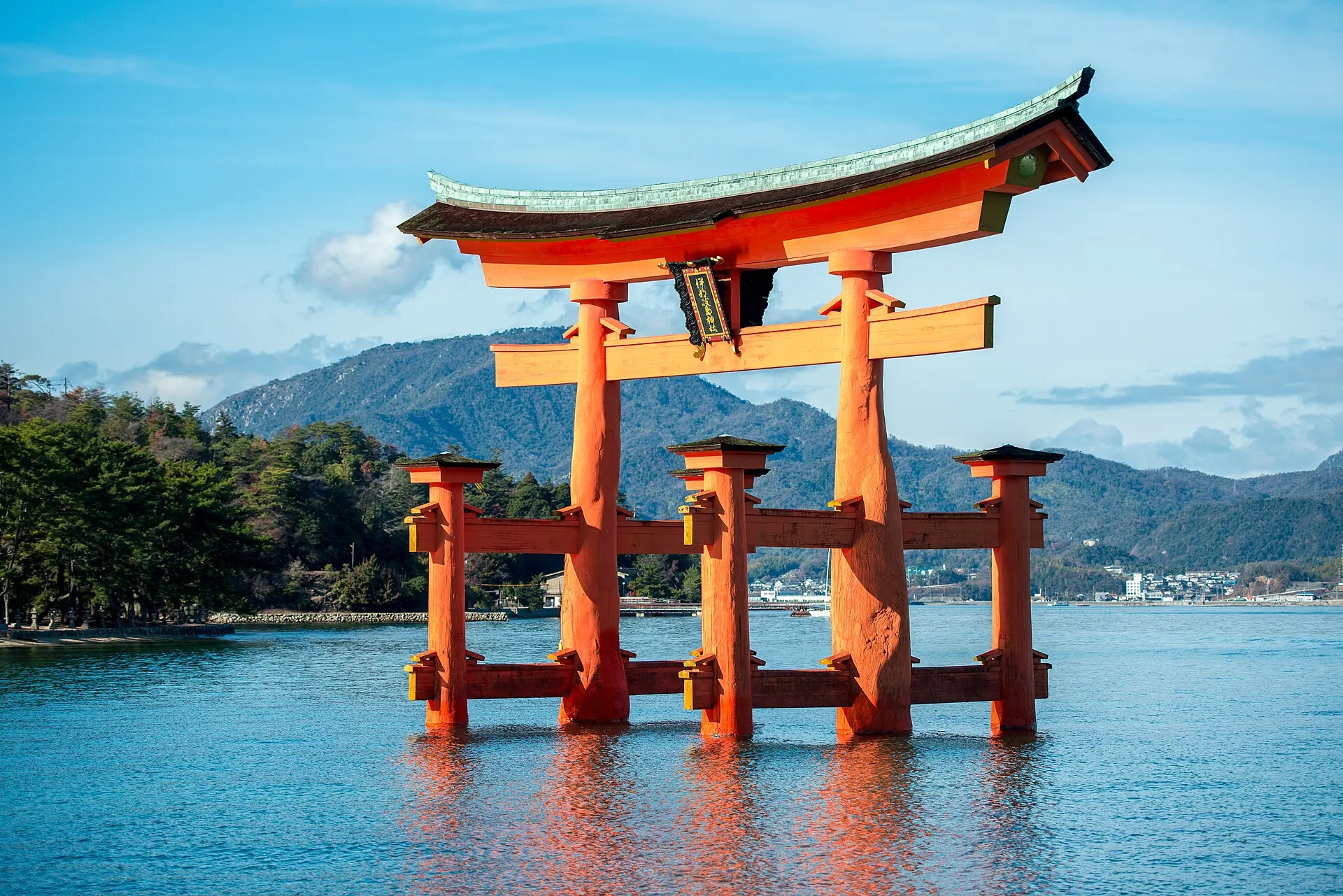
MIYAJIMA
MiyajimaHiroshima · Chugoku
Itsukushima (Miyajima), Hatsukaichi City, Hiroshima Prefecture. The buildings and great torii of Itsukushima Shrine, built over the sea, were inscribed as a World Cultural Heritage site in 1996. One of the Three Views of Japan.
Islands / Seas / World Heritage
09SourcesSources
Sources
- Wikipedia「古宇利島」Wikipedia
- Wikipedia「沖縄県道247号古宇利屋我地線」Wikipedia
- Wikidata Q4518163(古宇利島)Wikidata
10Photo CreditsPhoto credits
| Photo | Title / Photographer | Source | Licence |
|---|---|---|---|
| Amesoko, Nakijin, Kunigami District, Okinawa Prefecture 905-0411, Japan - panoramioFumihiko Ueno | Wikimedia Commons ↗ | CC BY 3.0 |
| Kouri Bridge (15130568259)Takuya ASADA | Wikimedia Commons ↗ | CC BY 2.0 |
 | Kouri OhashiMaga-chan | Wikimedia Commons ↗ | CC BY-SA 2.5 |
 | Japan, 県道248号線 - panoramiojollyo | Wikimedia Commons ↗ | CC BY 3.0 |
 | Kouri Bridge 20150212Suicasmo | Wikimedia Commons ↗ | CC BY-SA 4.0 |
 | Kouri IslandKugel~commonswiki | Wikimedia Commons ↗ | Public domain |