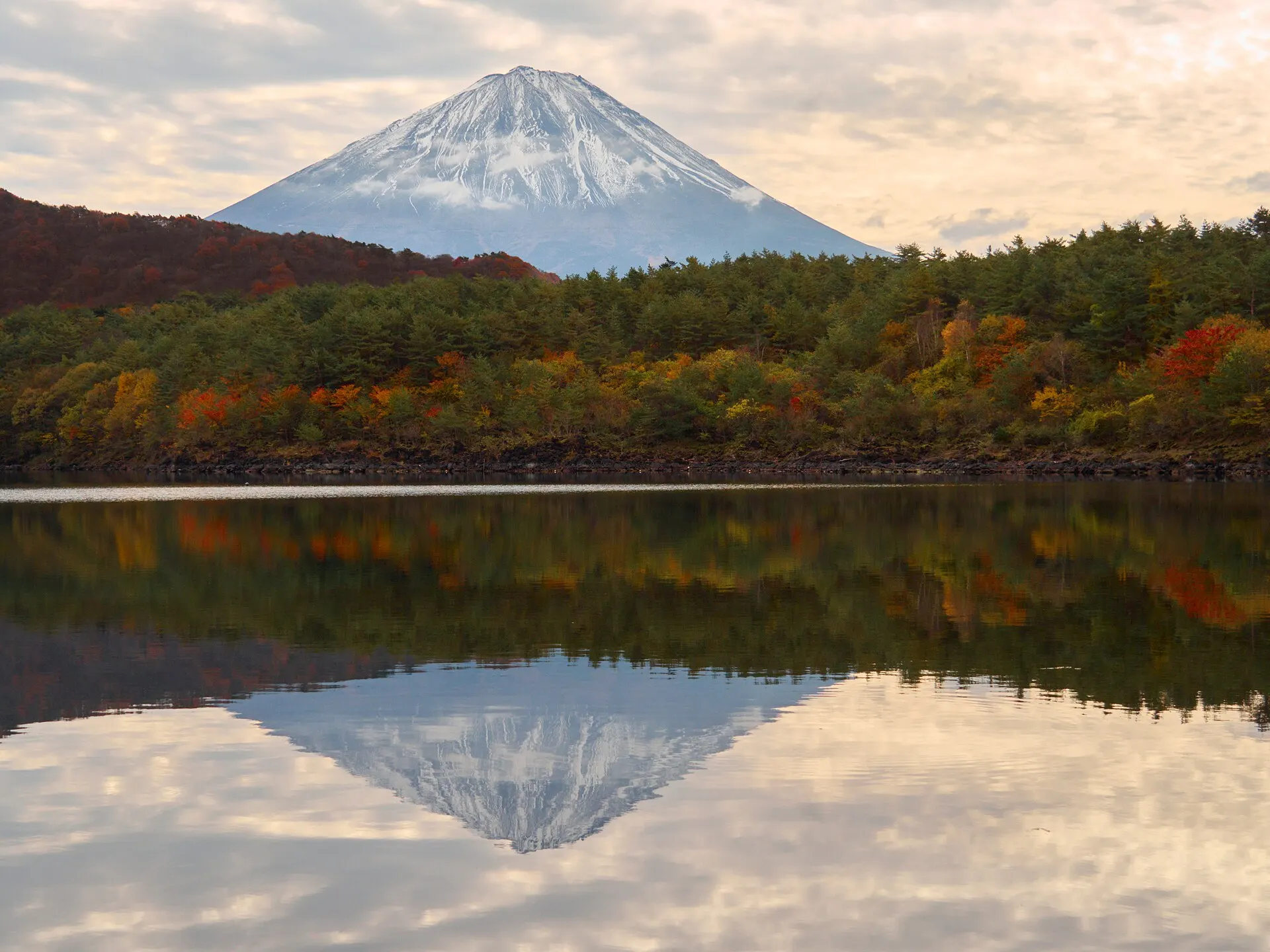
Yamanashi / Shizuoka, Japan
Mount FujiFUJI
The mountain that draws this country's outline in a single ridge.
35°22'N 138°44'E
01IntroductionIntroduction
The mountain that draws this country's outline in a single ridge.
Japan's highest peak, straddling Yamanashi and Shizuoka prefectures. A symmetrical, cone-shaped stratovolcano whose appearance, seen from the surrounding lakes and highlands, changes with each season and hour.
02Key InformationKey information
Key information about Mount Fuji
Only information confirmed in the sources (listed at the bottom of the page) is shown. Please check the latest official information before your visit.
- PrefecturePrefecture
- Yamanashi / Shizuoka
- RegionRegion
- Koshinetsu, Tokai
- CategoryScenery
- MountainsNational parksWorld Heritage
- ElevationElevation
- 3,776 m
- Best seasonBest Season
- Autumn–winter (views) / Summer (climbing)
- Access overviewAccess
- Views from around the Fuji Five Lakes (Yamanashi) and many places on the Shizuoka side. Climbing is limited to the summer climbing season.
- Protected areasProtection
- Fuji-Hakone-Izu National Park
- World Cultural Heritage "Fujisan, sacred place and source of artistic inspiration" (2013)
- LocationCoordinates
- 35°22'N 138°44'E
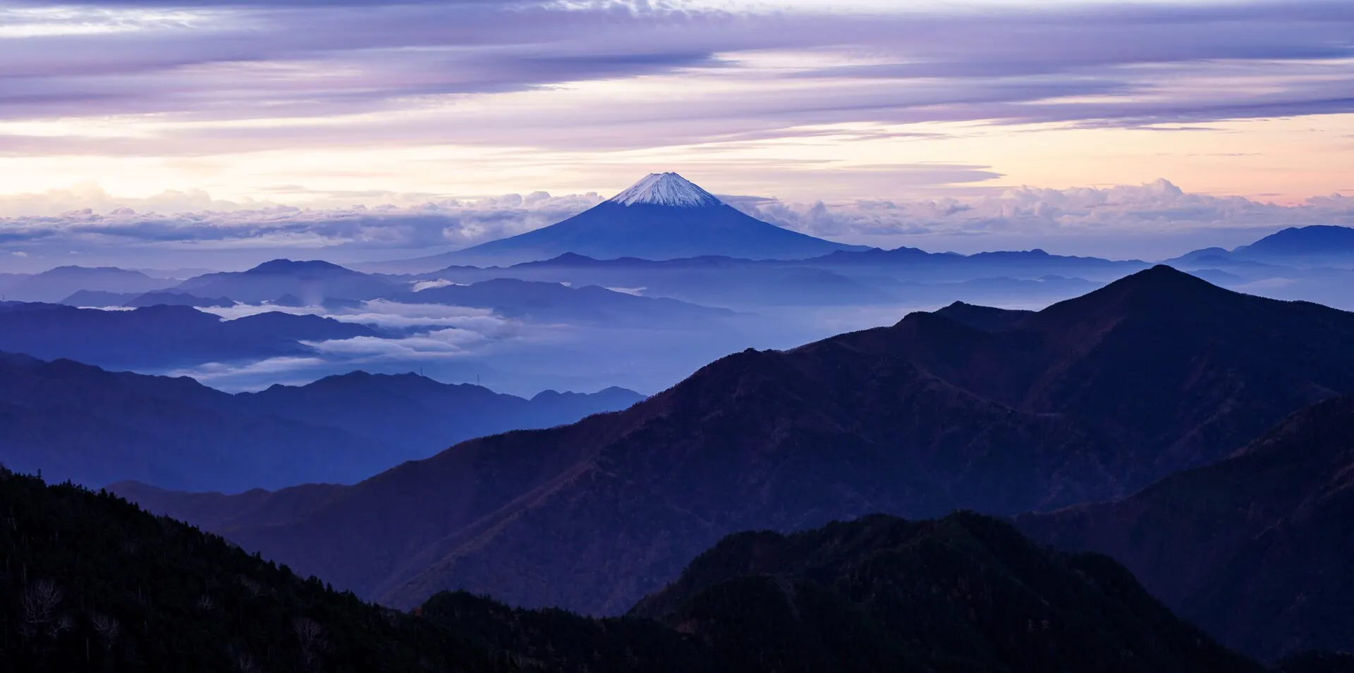
Mount Fuji — Yamanashi / Shizuoka
Photo: Doktor Propeller / Wikimedia Commons / CC BY 2.0
03StoryStory
The Story of
Mount Fuji
Its long, sweeping ridgeline can be recognised even from distant cities. Mount Fuji is Japan's highest mountain, and also the mountain that has been gazed upon from more places than any other.
In 2013, Mount Fuji was inscribed as a World Cultural Heritage site under the name "Fujisan, sacred place and source of artistic inspiration". Its component parts include not only the mountain itself but also the lakes, shrines and lava tree moulds at its foot.
Climb it, or gaze at it. Some set out for the summit in summer; others wait by a lakeshore for the morning's inverted reflection of Fuji. Whichever you choose, the mountain remains at the centre of the journey.
04GalleryGallery
Photographs of Mount Fuji
4 photographs
—FilmTravel through film
Mount Fuji on film
[4K][声と旅する国立公園] 富士箱根伊豆 | 日本の国立公園
Source: 環境省 日本の国立公園 / Watch on YouTube ↗
富士吉田市観光PR動画~ここにはいつも富士がある~
Source: 【富士吉田市公式】広報ふじよしだ / Watch on YouTube ↗
The films shown here are published on YouTube by official channels such as the Ministry of the Environment, local governments and tourism associations, and are presented using YouTube's embed feature. Copyright remains with each publisher. No connection is made to YouTube until you press play.
05SeasonsThrough the seasons
The four seasons of Mount Fuji
SpringSpring
The season to view the still snow-capped summit beyond flower fields at its foot and cherry blossoms along the lakeshores.
Recommended
SummerSummer
In the summer climbing season the trails open, and people gather to reach the summit for the sunrise.
Recommended
AutumnAutumn
Autumn leaves on the lakeshores and the first snow on the peak. The air is clear, and its outline is sharp even from afar.
Recommended
WinterWinter
The season when the snow-covered mountain looks its most refined. A good time for its inverted reflection on the lakes.
Recommended
06LocationLocation
35°22'N 138°44'E
Yamanashi / Shizuoka (Koshinetsu, Tokai)
An interactive map is in preparation. For now, the location is shown among all destinations.
07NearbyNearby scenic spots
Another landscape, close by.
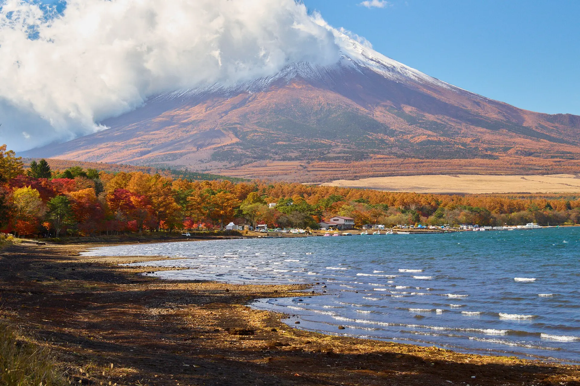
Fuji Five Lakes
FUJI GOKO
About 14 km (straight-line distance)
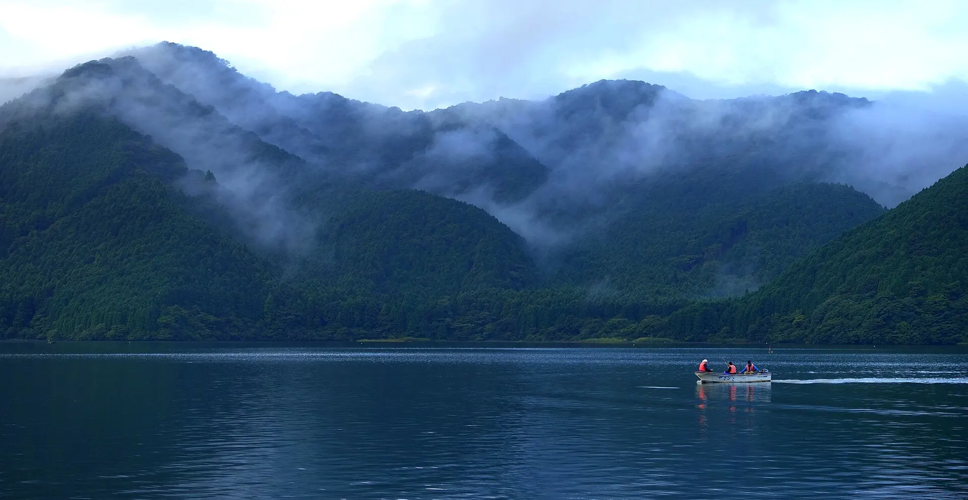
Hakone
HAKONE
About 30 km (straight-line distance)
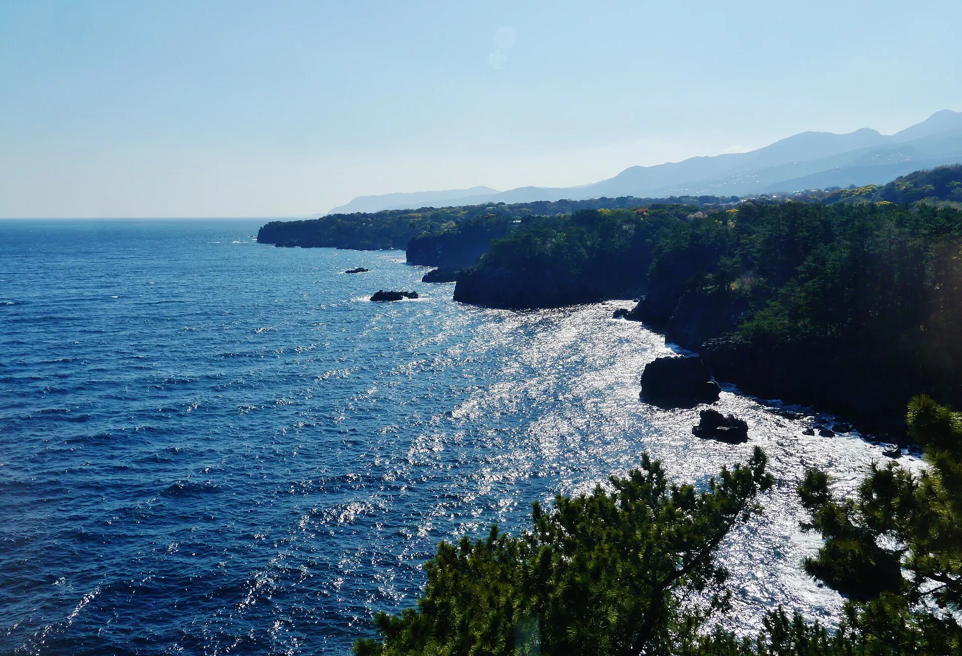
Izu & Jogasaki Coast
IZU
About 65 km (straight-line distance)
08RelatedSimilar landscapes
If you love this landscape.
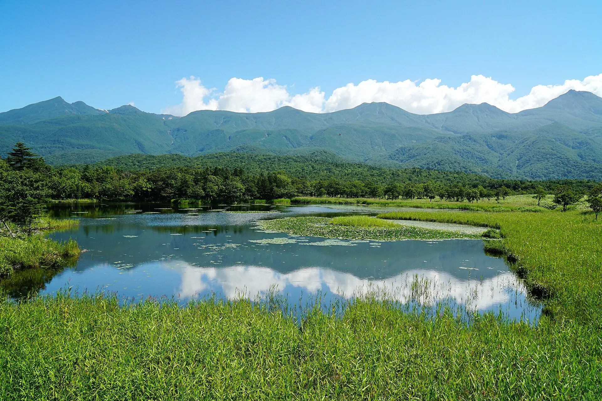
SHIRETOKO
Shiretoko
Hokkaido
A peninsula where sea, forest and mountains remain unbroken.
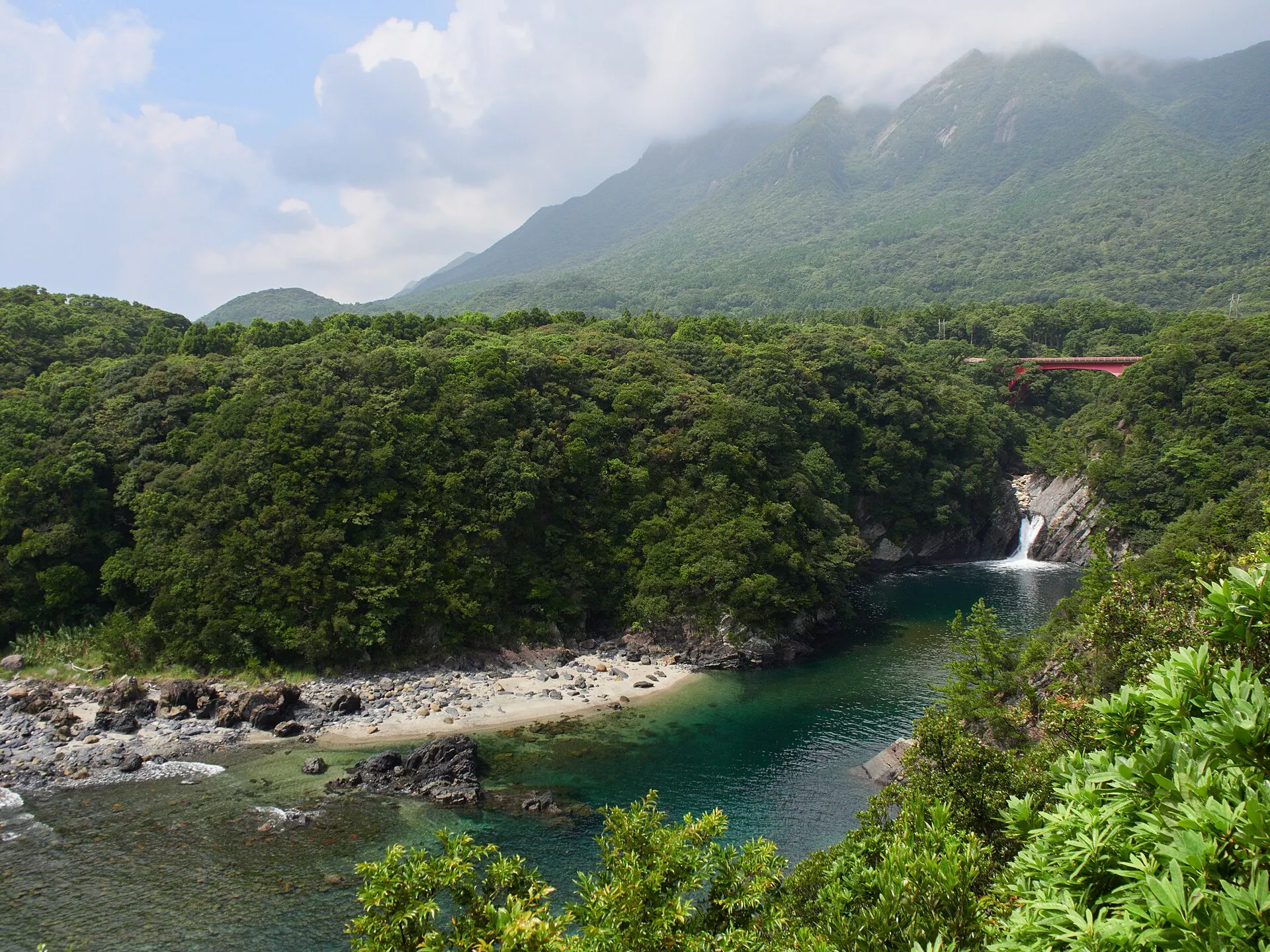
YAKUSHIMA
YakushimaKagoshima · Kyushu
Yakushima Town, Kagoshima Prefecture. Home to Mount Miyanoura (1,936 m), the highest peak in Kyushu, with forests of Yakusugi cedars over a thousand years old and moss-covered ravines. In 1993 it became one of the first areas in Japan inscribed as a World Natural Heritage site.
Islands / Forests / Mountains
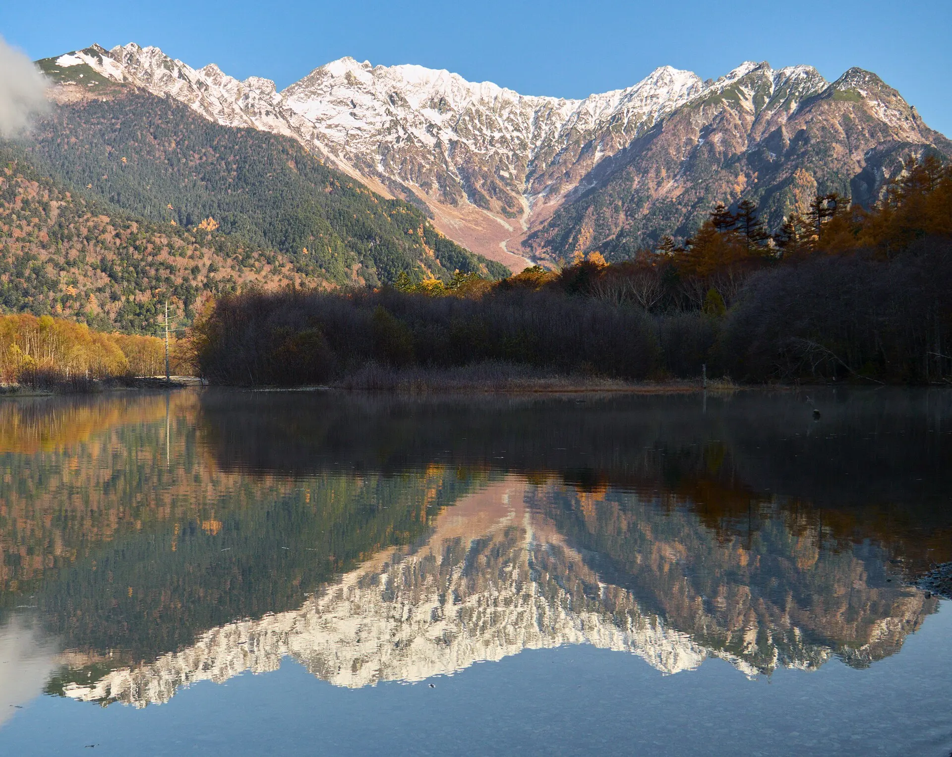
KAMIKOCHI
KamikochiNagano · Koshinetsu
A mountain scenic area at an elevation of about 1,500 m, set deep in the Northern Alps in Matsumoto, Nagano Prefecture. Along the Azusa River, beneath the Hotaka mountain range, lie Taisho Pond, Kappa Bridge and Myojin Pond.
Mountains / Gorges / Forests
09SourcesSources
Sources
10Photo CreditsPhoto credits
| Photo | Title / Photographer | Source | Licence |
|---|---|---|---|
| Saiko - Saiko6828lumoplank | Wikimedia Commons ↗ | CC0 |
| Fujiyama (49028832257)Doktor Propeller | Wikimedia Commons ↗ | CC BY 2.0 |
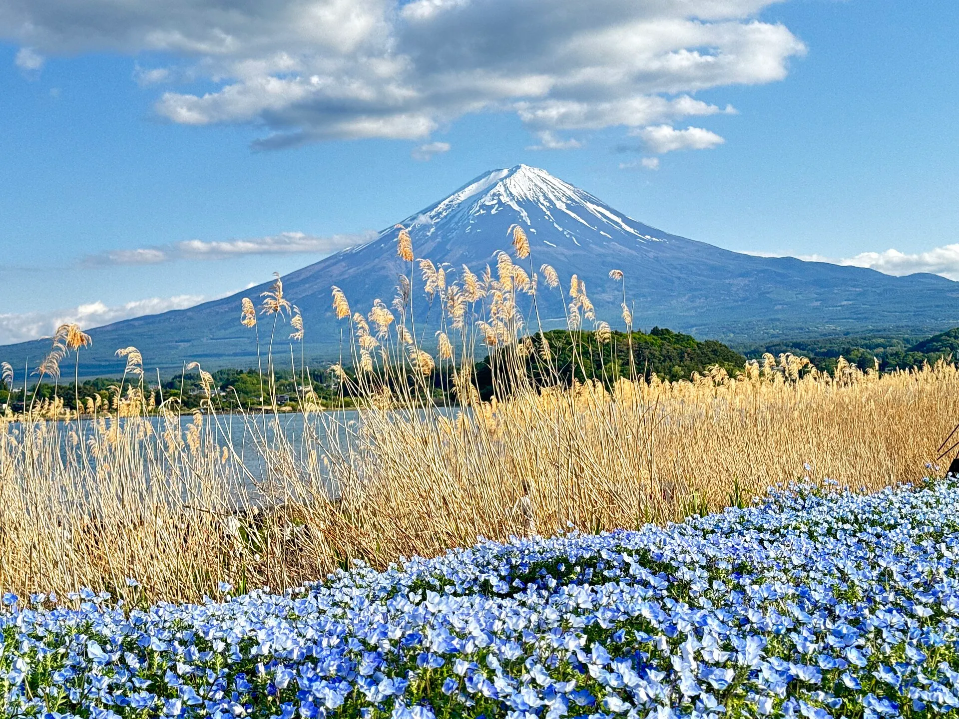 | Fuji im Mai 2026Fckmarcsaar | Wikimedia Commons ↗ | CC BY-SA 4.0 |
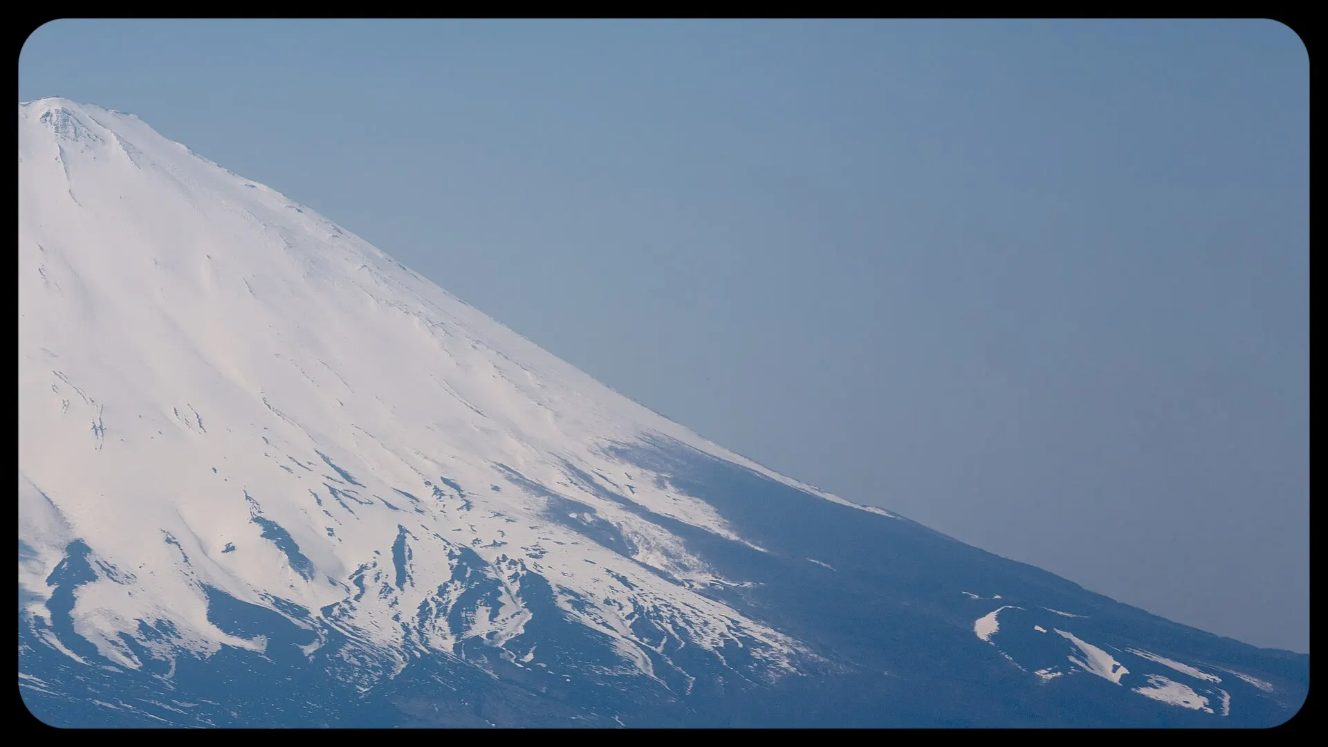 | Japan Fuji san Up Close and Personal (14181662180)Yiannis Theologos Michellis | Wikimedia Commons ↗ | CC0 |
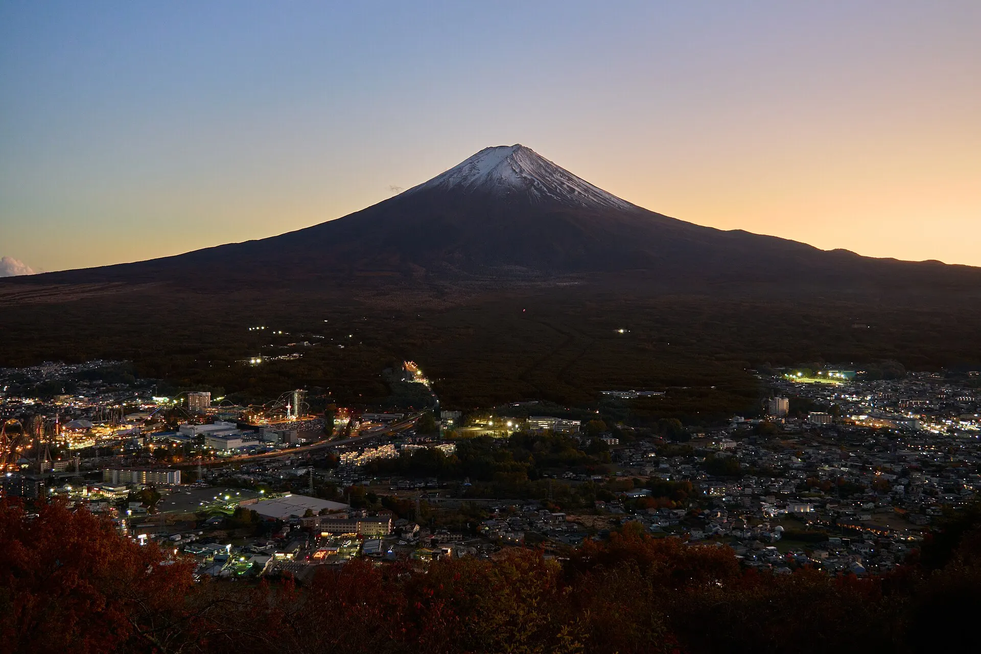 | Fuji, assorted - FujiAssorted6859lumoplank | Wikimedia Commons ↗ | CC0 |
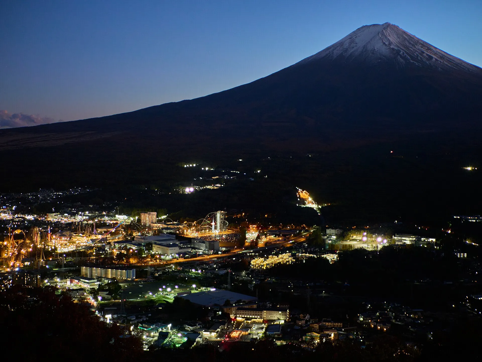 | Fujiyoshida - Fujiyoshida6758lumoplank | Wikimedia Commons ↗ | CC0 |